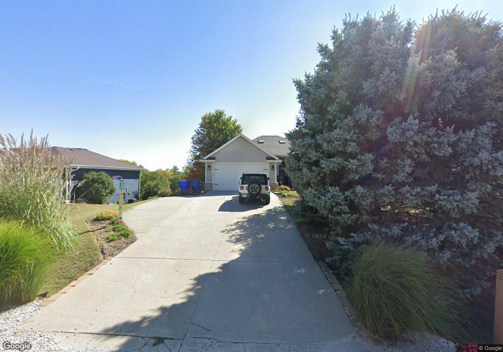
1913 Dunbar Dr Plattsmouth, NE 68048
Estimated Value: $358,624 - $515,000
4
Beds
4
Baths
3,069
Sq Ft
$145/Sq Ft
Est. Value
About This Home
This home is located at 1913 Dunbar Dr, Plattsmouth, NE 68048 and is currently estimated at $444,656, approximately $144 per square foot. 1913 Dunbar Dr is a home located in Cass County with nearby schools including Conestoga Elementary School and Conestoga Junior/Senior High School.
Ownership History
Date
Name
Owned For
Owner Type
Purchase Details
Closed on
Apr 14, 2014
Sold by
Dewing Barton D and Dewing Lori L
Bought by
Green Jeffrey M and Green Jennifer L
Current Estimated Value
Home Financials for this Owner
Home Financials are based on the most recent Mortgage that was taken out on this home.
Original Mortgage
$224,360
Interest Rate
4.36%
Mortgage Type
FHA
Create a Home Valuation Report for This Property
The Home Valuation Report is an in-depth analysis detailing your home's value as well as a comparison with similar homes in the area
Home Values in the Area
Average Home Value in this Area
Purchase History
| Date | Buyer | Sale Price | Title Company |
|---|---|---|---|
| Green Jeffrey M | $228,500 | Titlecore Llc |
Source: Public Records
Mortgage History
| Date | Status | Borrower | Loan Amount |
|---|---|---|---|
| Closed | Green Jeffrey M | $224,360 |
Source: Public Records
Tax History Compared to Growth
Tax History
| Year | Tax Paid | Tax Assessment Tax Assessment Total Assessment is a certain percentage of the fair market value that is determined by local assessors to be the total taxable value of land and additions on the property. | Land | Improvement |
|---|---|---|---|---|
| 2024 | $3,944 | $313,250 | $28,035 | $285,215 |
| 2023 | $4,042 | $302,180 | $24,360 | $277,820 |
| 2022 | $4,159 | $289,748 | $25,578 | $264,170 |
| 2021 | $3,754 | $252,440 | $8,400 | $244,040 |
| 2020 | $3,785 | $246,862 | $7,812 | $239,050 |
| 2019 | $3,664 | $225,482 | $3,150 | $222,332 |
| 2018 | $3,604 | $225,482 | $3,150 | $222,332 |
| 2017 | $3,387 | $209,242 | $3,150 | $206,092 |
| 2016 | $3,241 | $209,242 | $3,150 | $206,092 |
| 2015 | $3,228 | $209,242 | $3,150 | $206,092 |
| 2014 | $3,636 | $209,242 | $3,150 | $206,092 |
Source: Public Records
Map
Nearby Homes
- 9518 Sterling Cir
- 1709 Dunbar Dr
- 1715 Rock Bluff Rd
- 9315 Clubhouse Cir
- 113 Rock Bluff Rd Unit 1
- 113 Rock Bluff Rd
- 1524 Trumball Terrace
- 1443 Koby Cir
- 9811 Rock Creek Rd
- 1402 Elm Creek Rd
- 8883 Verdon Cir
- 8862 Greenwood Rd
- 9109 Murray Dr
- 8887 Verdon Cir
- 9012 Murray Dr
- 9019 Bellvue Dr
- 1928 Beaver Lake Blvd
- 2206 Beaver Lake Blvd
- 1812 Beaver Lake Blvd
- 914 Beaver Lake Blvd
- 1917 Dunbar Dr
- 9611 Lincoln Ct
- 9605 Lincoln Ct
- 9604 Sterling Cr St
- 9605 Lincoln Ct
- 9604 Sterling Street Cir
- 1912 Dunbar Dr
- 0 Dunbar & Lincoln Ct Dr
- 9519 Lincoln Ct
- 1918 Dunbar Dr
- 1906 Dunbar Dr
- 1920 Dunbar Dr
- 9515 Lincoln Ct
- 2002 Dunbar Dr
- 1820 Dunbar Dr
- 1817 Dunbar Dr
- 9519 Sterling Cir
- 9512 Sterling Cir
- 9513 Lincoln Ct
- 1624 Taz Ln