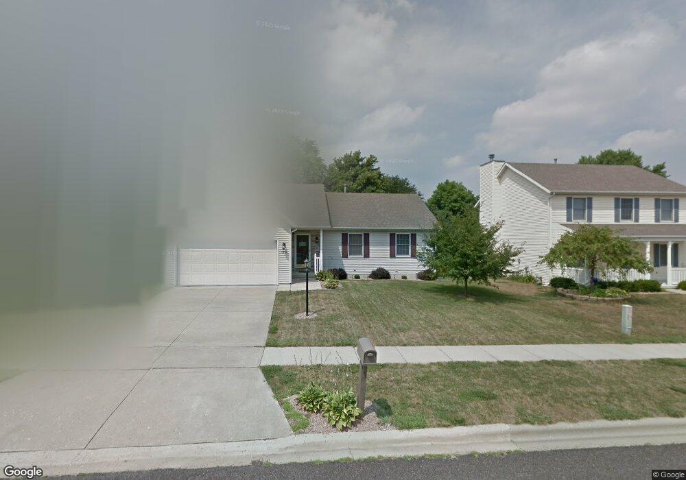
1913 Fieldstone Washington, IL 61571
Hillcrest NeighborhoodEstimated Value: $234,000 - $265,000
3
Beds
2
Baths
1,240
Sq Ft
$198/Sq Ft
Est. Value
About This Home
This home is located at 1913 Fieldstone, Washington, IL 61571 and is currently estimated at $244,983, approximately $197 per square foot. 1913 Fieldstone is a home located in Tazewell County with nearby schools including Central Primary School, Central Intermediate School, and Washington Community High School.
Ownership History
Date
Name
Owned For
Owner Type
Purchase Details
Closed on
May 4, 2007
Sold by
Shuda James A and Shuda Mandy S
Bought by
Robbins Mark D and Robbins Nicole L
Current Estimated Value
Home Financials for this Owner
Home Financials are based on the most recent Mortgage that was taken out on this home.
Original Mortgage
$158,400
Outstanding Balance
$96,507
Interest Rate
6.2%
Mortgage Type
Purchase Money Mortgage
Estimated Equity
$148,476
Create a Home Valuation Report for This Property
The Home Valuation Report is an in-depth analysis detailing your home's value as well as a comparison with similar homes in the area
Home Values in the Area
Average Home Value in this Area
Purchase History
| Date | Buyer | Sale Price | Title Company |
|---|---|---|---|
| Robbins Mark D | $176,000 | Chicago Title |
Source: Public Records
Mortgage History
| Date | Status | Borrower | Loan Amount |
|---|---|---|---|
| Open | Robbins Mark D | $158,400 |
Source: Public Records
Tax History
| Year | Tax Paid | Tax Assessment Tax Assessment Total Assessment is a certain percentage of the fair market value that is determined by local assessors to be the total taxable value of land and additions on the property. | Land | Improvement |
|---|---|---|---|---|
| 2024 | $5,006 | $66,590 | $13,260 | $53,330 |
| 2023 | $5,006 | $61,780 | $12,300 | $49,480 |
| 2022 | $4,769 | $57,720 | $11,490 | $46,230 |
| 2021 | $4,580 | $56,300 | $11,210 | $45,090 |
| 2020 | $4,515 | $56,300 | $11,210 | $45,090 |
| 2019 | $4,411 | $56,300 | $11,210 | $45,090 |
| 2018 | $4,304 | $56,300 | $11,210 | $45,090 |
| 2017 | $4,163 | $56,300 | $11,210 | $45,090 |
| 2016 | $4,052 | $56,300 | $11,210 | $45,090 |
| 2015 | $3,442 | $0 | $0 | $0 |
| 2013 | $3,307 | $51,040 | $10,170 | $40,870 |
Source: Public Records
Map
Nearby Homes
- 1930 Cobblestone
- 1918 Canterbury Dr Unit F
- 1950 English Oak
- 1830 Kern Rd
- 306 Parkview Dr
- 1506 Woodbine Dr
- 1506 Kern Rd
- Lot 9 Sonny Dr
- Lot 14 Sonny Dr
- 609 Patricia St
- 417 Wagner St
- 201 Willa Ln
- 737 Pintail Ln
- 0 Cummings & Cruger Rd Unit PA1222417
- 207 N Linnhill Ln
- 0 W Cruger Rd Unit 1190158
- 0 W Cruger Rd Unit 22212313
- 1414 Calvin Dr
- 1423 Calvin Dr
- 610 Westminster Dr
- 1917 Fieldstone
- 1909 Fieldstone
- 1909 Fieldstone Unit D
- 1921 Fieldstone
- 1905 Fieldstone
- 1912 Brentwood Dr
- 1910 Brentwood Dr
- 1908 Brentwood Dr
- 1914 Fieldstone
- 1910 Fieldstone
- 1916 Brentwood Dr
- 1925 Fieldstone
- 1918 Fieldstone
- 1901 Fieldstone
- 1918 Brentwood Dr
- 1904 Fieldstone
- 1906 Brentwood Dr
- 1922 Fieldstone
- 1911 Brentwood Dr
- 1929 Fieldstone
Your Personal Tour Guide
Ask me questions while you tour the home.