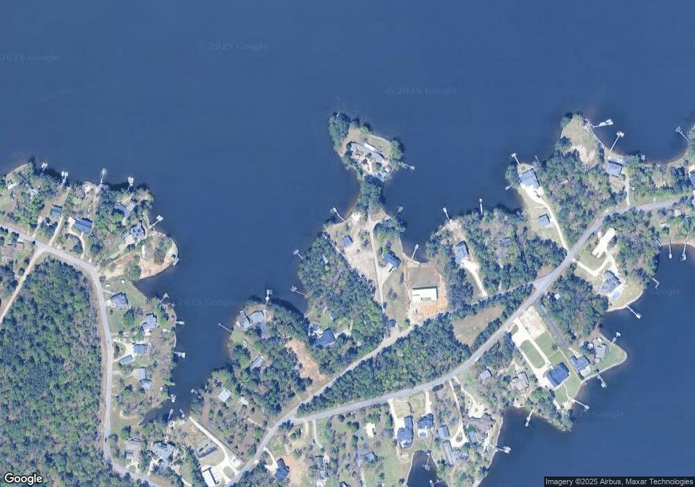
1913 Meetze St Gilbert, SC 29054
Estimated Value: $658,000 - $788,000
2
Beds
1
Bath
910
Sq Ft
$785/Sq Ft
Est. Value
About This Home
This home is located at 1913 Meetze St, Gilbert, SC 29054 and is currently estimated at $714,041, approximately $784 per square foot. 1913 Meetze St is a home located in Lexington County with nearby schools including Centerville Elementary School, Gilbert Middle School, and Gilbert High School.
Ownership History
Date
Name
Owned For
Owner Type
Purchase Details
Closed on
Nov 17, 2021
Sold by
Priester Judith H and Dominion Energy South Carolina
Bought by
Altenberg John D and The John D Altenberg Revocable
Current Estimated Value
Purchase Details
Closed on
May 17, 2021
Sold by
Altenberg Johnd
Bought by
Altenberg John D and The John D Altenberg Revocable
Purchase Details
Closed on
Sep 14, 2017
Sold by
Oken Mary Elizabeth D and Oken Douglas Sallie
Bought by
Altenberg John D and Altenberg Beth N
Home Financials for this Owner
Home Financials are based on the most recent Mortgage that was taken out on this home.
Original Mortgage
$289,000
Interest Rate
3.89%
Mortgage Type
New Conventional
Create a Home Valuation Report for This Property
The Home Valuation Report is an in-depth analysis detailing your home's value as well as a comparison with similar homes in the area
Home Values in the Area
Average Home Value in this Area
Purchase History
| Date | Buyer | Sale Price | Title Company |
|---|---|---|---|
| Altenberg John D | -- | None Available | |
| Altenberg John D | -- | None Available | |
| Altenberg John D | $389,000 | None Available |
Source: Public Records
Mortgage History
| Date | Status | Borrower | Loan Amount |
|---|---|---|---|
| Previous Owner | Altenberg John D | $289,000 |
Source: Public Records
Tax History
| Year | Tax Paid | Tax Assessment Tax Assessment Total Assessment is a certain percentage of the fair market value that is determined by local assessors to be the total taxable value of land and additions on the property. | Land | Improvement |
|---|---|---|---|---|
| 2024 | $14,196 | $23,340 | $17,100 | $6,240 |
| 2023 | $11,573 | $23,340 | $17,100 | $6,240 |
| 2020 | $11,194 | $23,340 | $17,100 | $6,240 |
| 2019 | $11,574 | $23,340 | $15,960 | $7,380 |
| 2018 | $11,492 | $23,340 | $15,960 | $7,380 |
| 2017 | $8,869 | $18,324 | $15,960 | $2,364 |
| 2016 | $8,593 | $18,323 | $15,960 | $2,363 |
| 2014 | $7,080 | $16,274 | $13,497 | $2,777 |
| 2013 | -- | $16,280 | $13,500 | $2,780 |
Source: Public Records
Map
Nearby Homes
- 180 Lillian St
- 2110 Shull Ave
- 1633 Barracks Dr
- 1459 Bombing Range Rd
- 1233 Shull Island Rd
- 1223 Shull Island Rd
- 1305 Rock Island Rd
- 1148 Shull Island Rd
- 218 Lake Vista Dr
- 102 Royal Ct
- 157 Collins Cove Dr
- 115 Pointe Overlook Dr
- 249 Pointe Overlook Dr
- 120 Magnolia Key Dr
- 1148 Indian Summer Point
- 404 Jasmine Key Ln
- 217 Timberlake Dr
- 506 Timberlake Dr
- 112 Bay Pointe Dr
- 104 Bay Pointe Dr
- 1905 Meetze St
- 1916 Meetze St
- 1936 Meetze St
- 1933 Shull Ave
- 1915 Shull Ave
- 1901 Shull Ave
- 1941 Shull Ave
- 0 Shull Ave Unit 528845
- 0 Shull Ave Unit 2/2A
- 1953 Shull Ave
- 1949 Shull Ave
- 2001 Shull Ave
- 1829 Shull Ave
- 1924 Amick Dr
- 1920 Amick Dr
- 1920 Amick Dr
- 150 Lillian St
- 1948 Amick Dr
- 1912 Amick Dr
- 152 Lillian St
