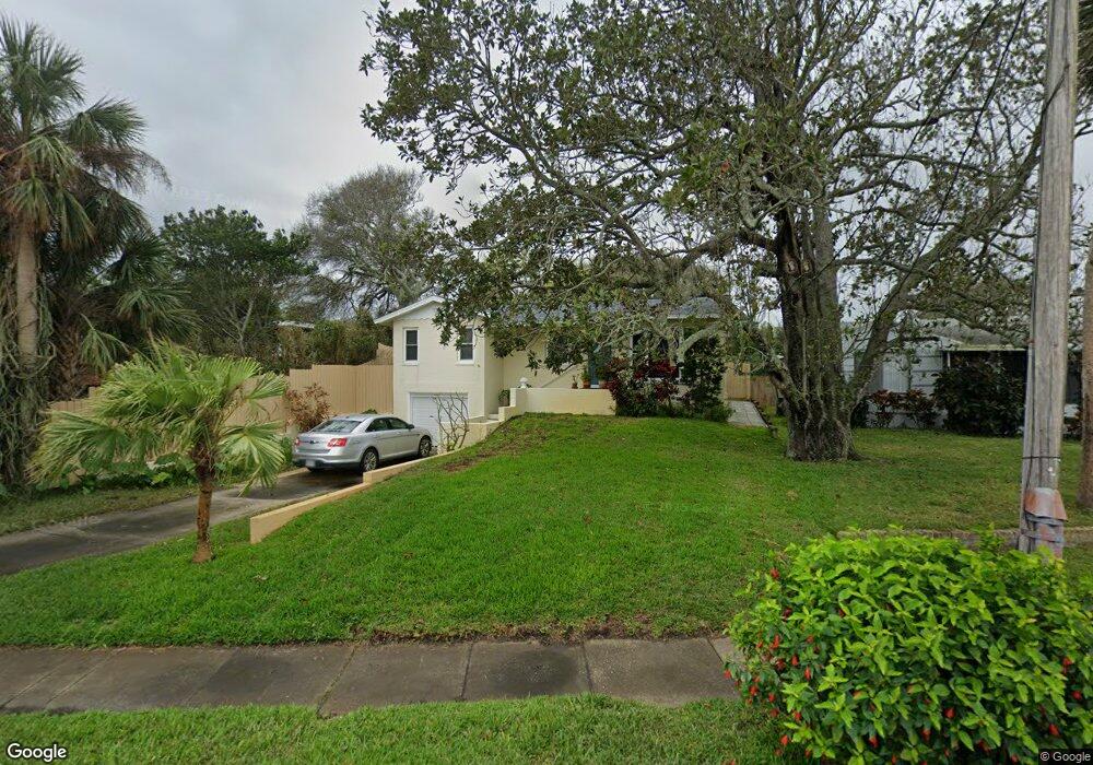
1913 N Oleander Ave Daytona Beach, FL 32118
Estimated Value: $269,083 - $324,000
2
Beds
1
Bath
1,198
Sq Ft
$244/Sq Ft
Est. Value
About This Home
This home is located at 1913 N Oleander Ave, Daytona Beach, FL 32118 and is currently estimated at $292,021, approximately $243 per square foot. 1913 N Oleander Ave is a home located in Volusia County with nearby schools including Campbell Middle School, Seabreeze High School, and Lourdes Academy.
Ownership History
Date
Name
Owned For
Owner Type
Purchase Details
Closed on
Jul 15, 1991
Bought by
Wood Brian F
Current Estimated Value
Create a Home Valuation Report for This Property
The Home Valuation Report is an in-depth analysis detailing your home's value as well as a comparison with similar homes in the area
Home Values in the Area
Average Home Value in this Area
Purchase History
| Date | Buyer | Sale Price | Title Company |
|---|---|---|---|
| Wood Brian F | $45,000 | -- |
Source: Public Records
Tax History Compared to Growth
Tax History
| Year | Tax Paid | Tax Assessment Tax Assessment Total Assessment is a certain percentage of the fair market value that is determined by local assessors to be the total taxable value of land and additions on the property. | Land | Improvement |
|---|---|---|---|---|
| 2025 | $644 | $83,066 | -- | -- |
| 2024 | $644 | $80,725 | -- | -- |
| 2023 | $644 | $78,374 | $0 | $0 |
| 2022 | $611 | $76,091 | $0 | $0 |
| 2021 | $622 | $73,875 | $0 | $0 |
| 2020 | $619 | $72,855 | $0 | $0 |
| 2019 | $621 | $71,217 | $0 | $0 |
| 2018 | $634 | $69,889 | $0 | $0 |
| 2017 | $650 | $68,452 | $0 | $0 |
| 2016 | $673 | $67,044 | $0 | $0 |
| 2015 | $704 | $66,578 | $0 | $0 |
| 2014 | $707 | $66,050 | $0 | $0 |
Source: Public Records
Map
Nearby Homes
- 268 Hartford Ave
- 311 Pelican Ave
- 238 Morningside Ave
- 0 Pelican Ave
- 376 Williams Ave
- 2101 N Atlantic Ave Unit 10
- 2101 N Atlantic Ave Unit 1
- 1608 N Halifax Ave
- 2200 N Atlantic Ave Unit 1602
- 1619 N Halifax Ave
- 1900 N Atlantic Ave Unit 1603
- 2300 N Atlantic Ave Unit 203
- 2300 N Atlantic Ave Unit 1701
- 2300 N Atlantic Ave Unit 1402
- 2300 N Atlantic Ave Unit 303
- 400 Auburn Dr Unit 3
- 215 Woodland Ave
- 424 Pelican Ave
- 1517 N Grandview Ave
- 1800 N Atlantic Ave
- 1915 N Oleander Ave
- 295 Hartford Ave
- 1919 N Oleander Ave
- 291 Hartford Ave
- 298 Brookline Ave
- 296 Brookline Ave
- 285 Hartford Ave
- 1910 N Oleander Ave
- 1918 N Oleander Ave
- 279 Hartford Ave
- 2001 N Oleander Ave
- 2000 N Oleander Ave
- 1819 N Oleander Ave
- 288 Brookline Ave
- 301 Hartford Ave
- 297 Brookline Ave
- 294 Hartford Ave
- 298 Hartford Ave
- 288 Hartford Ave
- 290 Hartford Ave