1913 Nashmont Ct Lansdale, PA 19446
Estimated Value: $326,000 - $355,000
3
Beds
3
Baths
1,456
Sq Ft
$235/Sq Ft
Est. Value
About This Home
This home is located at 1913 Nashmont Ct, Lansdale, PA 19446 and is currently estimated at $342,712, approximately $235 per square foot. 1913 Nashmont Ct is a home located in Montgomery County with nearby schools including Walton Farm El School, Pennfield Middle School, and North Penn Senior High School.
Ownership History
Date
Name
Owned For
Owner Type
Purchase Details
Closed on
Jun 30, 2008
Sold by
Lemmon Kishi Kelly E
Bought by
Altemus Jane F
Current Estimated Value
Home Financials for this Owner
Home Financials are based on the most recent Mortgage that was taken out on this home.
Original Mortgage
$188,100
Outstanding Balance
$121,717
Interest Rate
6.13%
Estimated Equity
$220,995
Purchase Details
Closed on
Mar 15, 2004
Sold by
Hoagland Cole T and Hoagland Mary T
Bought by
Lemmon Kishi Kelly E
Create a Home Valuation Report for This Property
The Home Valuation Report is an in-depth analysis detailing your home's value as well as a comparison with similar homes in the area
Home Values in the Area
Average Home Value in this Area
Purchase History
| Date | Buyer | Sale Price | Title Company |
|---|---|---|---|
| Altemus Jane F | $198,000 | None Available | |
| Lemmon Kishi Kelly E | $155,000 | -- |
Source: Public Records
Mortgage History
| Date | Status | Borrower | Loan Amount |
|---|---|---|---|
| Open | Altemus Jane F | $188,100 |
Source: Public Records
Tax History Compared to Growth
Tax History
| Year | Tax Paid | Tax Assessment Tax Assessment Total Assessment is a certain percentage of the fair market value that is determined by local assessors to be the total taxable value of land and additions on the property. | Land | Improvement |
|---|---|---|---|---|
| 2025 | $3,773 | $93,160 | $20,650 | $72,510 |
| 2024 | $3,773 | $93,160 | $20,650 | $72,510 |
| 2023 | $3,613 | $93,160 | $20,650 | $72,510 |
| 2022 | $3,613 | $93,160 | $20,650 | $72,510 |
| 2021 | $3,294 | $93,160 | $20,650 | $72,510 |
| 2020 | $3,144 | $93,160 | $20,650 | $72,510 |
| 2019 | $3,090 | $93,160 | $20,650 | $72,510 |
| 2018 | $541 | $93,160 | $20,650 | $72,510 |
| 2017 | $2,967 | $93,160 | $20,650 | $72,510 |
| 2016 | $2,930 | $93,160 | $20,650 | $72,510 |
| 2015 | $2,809 | $93,160 | $20,650 | $72,510 |
| 2014 | $2,809 | $93,160 | $20,650 | $72,510 |
Source: Public Records
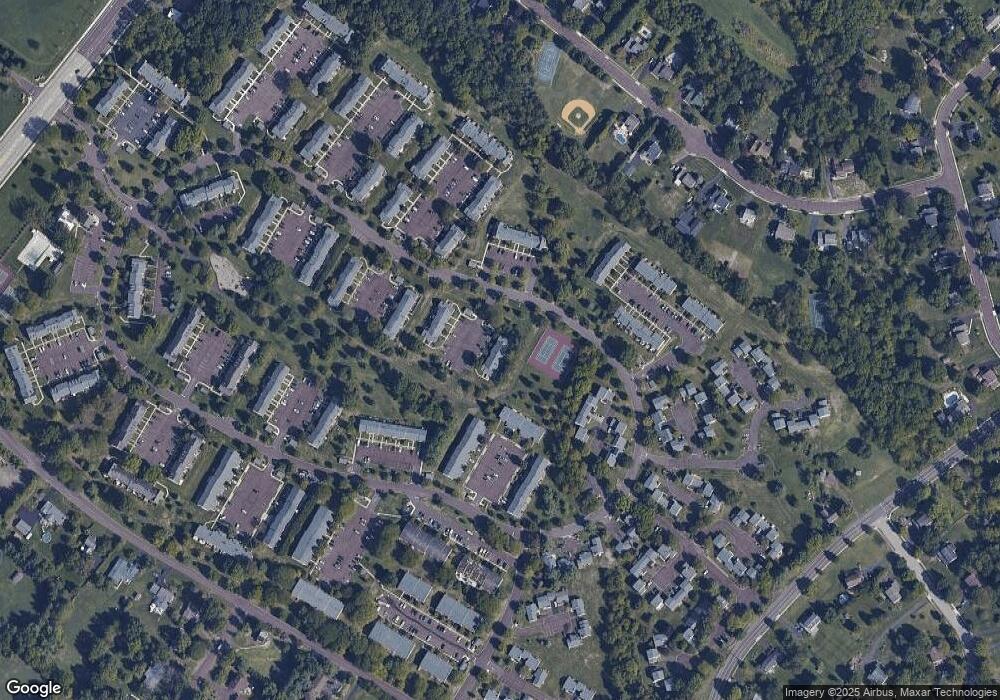
Map
Nearby Homes
- 1017 Winfield Ct
- 2110 Marshall Ct
- 2212 Mulberry Ct
- 2225 Mulberry Ct
- 912B Stockton Ct
- 2415 Hillock Ct
- 1217A Crosshill Ct
- 506 Clarella Ct
- 24 Newbury Way
- 2 Newbury Way
- 25 Chestnut Ct E
- 413 Militia Dr
- 10 Bentwood Ct W
- 512 Lamplighter Way
- 30 Greenbriar Ct
- 19 Wildbriar Ct
- 11 Elder Ct
- 14 Ash Ct
- 2045 Pleasant Valley Dr
- 245 Cherry Ln
- 1914 Nashmont Ct
- 1910 Nashmont Ct
- 1014 Winfield Ct
- 1906 Nashmont Ct
- 1015 Winfield Ct
- 1011 Winfield Ct
- 1009 Winfield Ct
- 1504 Aberdeen Ct Unit 1504
- 1019 Winfield Ct
- 2112 Marshall Ct
- 1505 Aberdeen Ct
- 2002 Norwood Ct
- 2003 Norwood Ct
- 2001 Norwood Ct
- 2005 Norwood Ct
- 1020 Winfield Ct
- 2004 Norwood Ct
- 1503 Aberdeen Ct
- 2008 Norwood Ct
- 2201 Mulberry Ct