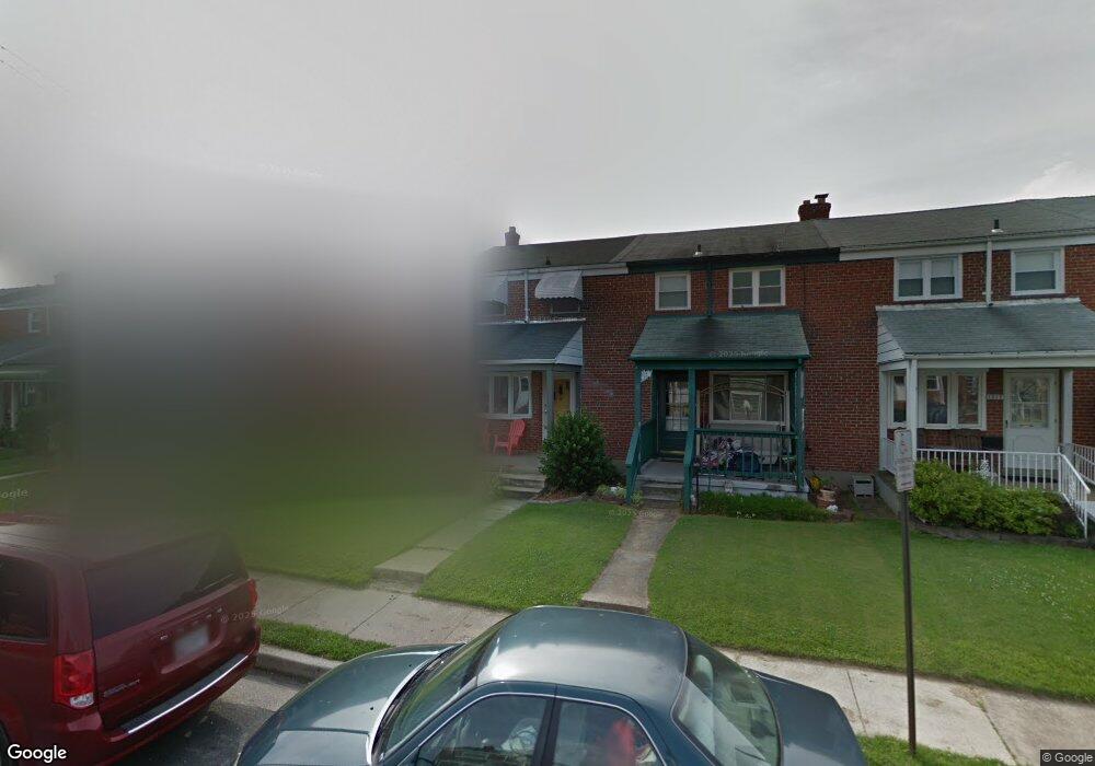
1913 Ormand Rd Dundalk, MD 21222
Estimated Value: $192,279 - $244,000
Studio
1
Bath
1,008
Sq Ft
$220/Sq Ft
Est. Value
About This Home
This home is located at 1913 Ormand Rd, Dundalk, MD 21222 and is currently estimated at $221,320, approximately $219 per square foot. 1913 Ormand Rd is a home located in Baltimore County with nearby schools including Grange Elementary School, General John Stricker Middle School, and Patapsco High & Center for Arts.
Ownership History
Date
Name
Owned For
Owner Type
Purchase Details
Closed on
Sep 12, 2001
Sold by
Bures Joseph M
Bought by
Brooks Wayne T and Brooks Katherine M
Current Estimated Value
Purchase Details
Closed on
Nov 18, 1969
Sold by
Cameron Don Mace and Cameron Anna M
Bought by
Bures Joseph M
Create a Home Valuation Report for This Property
The Home Valuation Report is an in-depth analysis detailing your home's value as well as a comparison with similar homes in the area
Home Values in the Area
Average Home Value in this Area
Purchase History
| Date | Buyer | Sale Price | Title Company |
|---|---|---|---|
| Brooks Wayne T | $88,000 | -- | |
| Bures Joseph M | $10,500 | -- |
Source: Public Records
Tax History
| Year | Tax Paid | Tax Assessment Tax Assessment Total Assessment is a certain percentage of the fair market value that is determined by local assessors to be the total taxable value of land and additions on the property. | Land | Improvement |
|---|---|---|---|---|
| 2025 | $3,049 | $151,000 | -- | -- |
| 2024 | $3,049 | $139,000 | $0 | $0 |
| 2023 | $1,373 | $127,000 | $38,000 | $89,000 |
| 2022 | $2,644 | $124,833 | $0 | $0 |
| 2021 | $2,803 | $122,667 | $0 | $0 |
| 2020 | $2,803 | $120,500 | $38,000 | $82,500 |
| 2019 | $2,453 | $117,433 | $0 | $0 |
| 2018 | $2,425 | $114,367 | $0 | $0 |
| 2017 | $2,316 | $111,300 | $0 | $0 |
| 2016 | $1,936 | $111,300 | $0 | $0 |
| 2015 | $1,936 | $111,300 | $0 | $0 |
| 2014 | $1,936 | $122,400 | $0 | $0 |
Source: Public Records
Map
Nearby Homes
- 2782 Moorgate Rd
- 2811 Moorgate Rd
- 1935 Stanhope Rd
- 1930 Stanhope Rd
- 1954 Stanhope Rd
- 2012 Wareham Rd
- 1911 Sunberry Rd
- 7252 Meadow Ln
- 7807 Rockbourne Rd
- 7832 Rockbourne Rd
- 7849 Harold Rd
- 1940H Robinwood Rd
- 9 Vista Mobile Dr
- 7111 Sollers Point Rd
- 7512 School Ave
- 2924 Sollers Point Rd
- 8101 Shore Rd
- 8201 Seaworthy Way
- 7449 Lawrence Rd Unit D
- 2953 Yorkway
- 1915 Ormand Rd
- 1911 Ormand Rd
- 1917 Ormand Rd
- 1909 Ormand Rd
- 1919 Ormand Rd
- 1907 Ormand Rd
- 1921 Ormand Rd
- 1905 Ormand Rd
- 1903 Ormand Rd
- 1923 Ormand Rd
- 1912 Holborn Rd
- 1914 Holborn Rd
- 1910 Holborn Rd
- 1901 Ormand Rd
- 1916 Holborn Rd
- 1908 Holborn Rd
- 1925 Ormand Rd
- 1918 Holborn Rd
- 1906 Holborn Rd
- 1920 Holborn Rd
Your Personal Tour Guide
Ask me questions while you tour the home.