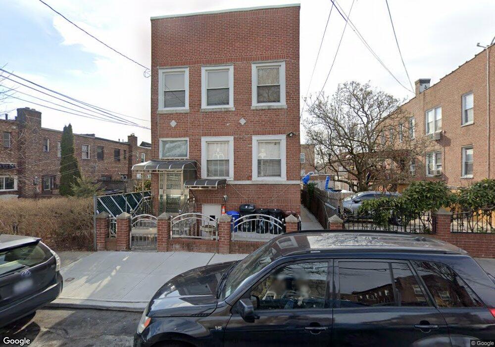
1913 Paulding Ave Bronx, NY 10462
Morris Park NeighborhoodEstimated Value: $893,000 - $1,132,000
Studio
--
Bath
3,150
Sq Ft
$320/Sq Ft
Est. Value
About This Home
This home is located at 1913 Paulding Ave, Bronx, NY 10462 and is currently estimated at $1,008,262, approximately $320 per square foot. 1913 Paulding Ave is a home located in Bronx County with nearby schools including P.S. 083 The Donald Hertz School, St. Clare of Assisi School, and Our Saviour Lutheran School.
Ownership History
Date
Name
Owned For
Owner Type
Purchase Details
Closed on
Aug 5, 2004
Sold by
Buglione Carlo and Buglione Eutelia
Bought by
Balidemic Husen and Balidemic Nexhivan
Current Estimated Value
Home Financials for this Owner
Home Financials are based on the most recent Mortgage that was taken out on this home.
Original Mortgage
$384,000
Outstanding Balance
$190,674
Interest Rate
6.02%
Mortgage Type
Purchase Money Mortgage
Estimated Equity
$817,588
Create a Home Valuation Report for This Property
The Home Valuation Report is an in-depth analysis detailing your home's value as well as a comparison with similar homes in the area
Home Values in the Area
Average Home Value in this Area
Purchase History
| Date | Buyer | Sale Price | Title Company |
|---|---|---|---|
| Balidemic Husen | $480,000 | -- |
Source: Public Records
Mortgage History
| Date | Status | Borrower | Loan Amount |
|---|---|---|---|
| Open | Balidemic Husen | $384,000 |
Source: Public Records
Tax History
| Year | Tax Paid | Tax Assessment Tax Assessment Total Assessment is a certain percentage of the fair market value that is determined by local assessors to be the total taxable value of land and additions on the property. | Land | Improvement |
|---|---|---|---|---|
| 2025 | $8,478 | $45,446 | $6,649 | $38,797 |
| 2024 | $8,478 | $43,612 | $7,217 | $36,395 |
| 2023 | $8,072 | $41,144 | $7,232 | $33,912 |
| 2022 | $7,462 | $47,640 | $9,840 | $37,800 |
| 2021 | $7,849 | $50,040 | $9,840 | $40,200 |
| 2020 | $7,720 | $45,060 | $9,840 | $35,220 |
| 2019 | $7,310 | $38,760 | $9,840 | $28,920 |
| 2018 | $6,692 | $34,287 | $8,161 | $26,126 |
| 2017 | $6,294 | $32,347 | $9,068 | $23,279 |
| 2016 | $6,143 | $32,280 | $9,840 | $22,440 |
| 2015 | $3,461 | $31,560 | $10,920 | $20,640 |
| 2014 | $3,461 | $30,286 | $10,766 | $19,520 |
Source: Public Records
Map
Nearby Homes
- 1850 Hone Ave
- 1833 Hone Ave
- 1831 Paulding Ave
- 1925 Radcliff Ave
- 1917 Haight Ave
- 1912 Haight Ave
- 1059 Neill Ave
- 928 Rhinelander Ave
- 1942 Haight Ave
- 1116 Rhinelander Ave
- 2019 Colden Ave
- 2004 Bogart Ave
- 1100 Neill Ave
- 2037 Radcliff Ave
- 1054 Lydig Ave
- 1863 Williamsbridge Rd
- 930 Morris Park Ave
- 1818 Tomlinson Ave
- - Morris Park Ave
- 2116 Bogart Ave
- 1917 Paulding Ave
- 1013 Rhinelander Ave
- 1011 Rhinelander Ave
- 1015 Rhinelander Ave
- 1009 Rhinelander Ave
- 1007 Rhinelander Ave
- 1919 Paulding Ave
- 1005 Rhinelander Ave
- 1912 Colden Ave
- 1914 Colden Ave
- 1916 Colden Ave
- 1923 Paulding Ave
- 1900 Colden Ave
- 1918 Colden Ave
- 1925 Paulding Ave
- 1925 Paulding Ave
- 1920 Colden Ave
- 1025 Rhinelander Ave
- 1918 Paulding Ave
- 1922 Colden Ave
Your Personal Tour Guide
Ask me questions while you tour the home.