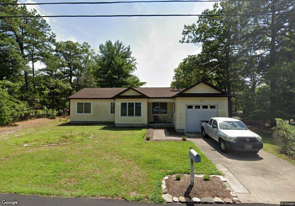
1913 Pineview Rd Forked River, NJ 08731
Estimated Value: $428,000 - $493,000
3
Beds
2
Baths
1,176
Sq Ft
$387/Sq Ft
Est. Value
About This Home
This home is located at 1913 Pineview Rd, Forked River, NJ 08731 and is currently estimated at $455,674, approximately $387 per square foot. 1913 Pineview Rd is a home located in Ocean County with nearby schools including Lacey Township High School.
Ownership History
Date
Name
Owned For
Owner Type
Purchase Details
Closed on
Dec 17, 2002
Sold by
Campbell Karen
Bought by
Fittante David
Current Estimated Value
Home Financials for this Owner
Home Financials are based on the most recent Mortgage that was taken out on this home.
Original Mortgage
$152,400
Outstanding Balance
$64,850
Interest Rate
6.11%
Estimated Equity
$390,824
Create a Home Valuation Report for This Property
The Home Valuation Report is an in-depth analysis detailing your home's value as well as a comparison with similar homes in the area
Home Values in the Area
Average Home Value in this Area
Purchase History
| Date | Buyer | Sale Price | Title Company |
|---|---|---|---|
| Fittante David | $190,500 | -- |
Source: Public Records
Mortgage History
| Date | Status | Borrower | Loan Amount |
|---|---|---|---|
| Open | Fittante David | $152,400 |
Source: Public Records
Tax History
| Year | Tax Paid | Tax Assessment Tax Assessment Total Assessment is a certain percentage of the fair market value that is determined by local assessors to be the total taxable value of land and additions on the property. | Land | Improvement |
|---|---|---|---|---|
| 2025 | $5,430 | $214,300 | $84,500 | $129,800 |
| 2024 | $5,077 | $214,300 | $84,500 | $129,800 |
Source: Public Records
Map
Nearby Homes
- 1972 Glen Oak Dr
- 1660 Joffre Rd
- 1988 Brookdale Dr
- 4 Kent Ct
- 0000 Earie Way
- 576 Vaughn Ave
- 1440 Leguene Ave
- 923 Tappan St
- 930 Tappan St
- 1326 Leguene Ave
- 38 Sheffield Dr
- 1030 Elwood St
- 000 Elwood St
- 1007 Elwood St
- 932 Elwood St
- 0 Hoyt St Unit 22602566
- 650 Chelsea St
- 1013 Chelsea St
- 321 Letts Ave
- 603 Maria Loretta Ln
- 1937 Maywood Place
- 1921 Pineview Rd
- 1935 Maywood Place
- 1941 Glen Oak Dr
- 1938 Maywood Place
- 1940 Maywood Place
- 1933 Glen Oak Dr
- 1936 Maywood Place
- 1927 Pineview Rd
- 1942 Maywood Place
- 1943 Glen Oak Dr
- 1931 Maywood Place
- 1903 Pineview Rd
- 1940 Sweetwood Dr
- 1914 Parkside Dr
- 1737 Longwood Dr
- 1945 Glen Oak Dr
- 1922 Parkside Dr
- 1946 Maywood Place
- 1924 Parkside Dr
Your Personal Tour Guide
Ask me questions while you tour the home.