1913 Red Eagle Walk Unit 14 Atlanta, GA 30318
Bolton NeighborhoodEstimated Value: $695,434 - $815,000
5
Beds
4
Baths
2,747
Sq Ft
$280/Sq Ft
Est. Value
About This Home
This home is located at 1913 Red Eagle Walk Unit 14, Atlanta, GA 30318 and is currently estimated at $769,609, approximately $280 per square foot. 1913 Red Eagle Walk Unit 14 is a home with nearby schools including Bolton Academy, Sutton Middle School, and North Atlanta High School.
Ownership History
Date
Name
Owned For
Owner Type
Purchase Details
Closed on
Aug 3, 2025
Sold by
Hill Darvin
Bought by
Darvin E Hill Living Trust and Hill Darvin E Trust
Current Estimated Value
Purchase Details
Closed on
Mar 30, 2018
Sold by
Hill Rhonda A
Bought by
Hill Rhonda A and Hill Darvin Edward
Home Financials for this Owner
Home Financials are based on the most recent Mortgage that was taken out on this home.
Original Mortgage
$251,000
Interest Rate
4.43%
Mortgage Type
New Conventional
Create a Home Valuation Report for This Property
The Home Valuation Report is an in-depth analysis detailing your home's value as well as a comparison with similar homes in the area
Home Values in the Area
Average Home Value in this Area
Purchase History
| Date | Buyer | Sale Price | Title Company |
|---|---|---|---|
| Darvin E Hill Living Trust | -- | -- | |
| Hill Rhonda A | -- | -- | |
| Hill Rhonda A | $502,900 | -- |
Source: Public Records
Mortgage History
| Date | Status | Borrower | Loan Amount |
|---|---|---|---|
| Previous Owner | Hill Rhonda A | $251,000 |
Source: Public Records
Tax History Compared to Growth
Tax History
| Year | Tax Paid | Tax Assessment Tax Assessment Total Assessment is a certain percentage of the fair market value that is determined by local assessors to be the total taxable value of land and additions on the property. | Land | Improvement |
|---|---|---|---|---|
| 2025 | $6,097 | $269,000 | $50,960 | $218,040 |
| 2023 | $10,100 | $243,960 | $73,080 | $170,880 |
| 2022 | $6,743 | $215,120 | $56,640 | $158,480 |
| 2021 | $6,060 | $189,120 | $29,280 | $159,840 |
| 2020 | $5,926 | $183,240 | $23,040 | $160,200 |
| 2019 | $418 | $180,000 | $22,640 | $157,360 |
| 2018 | $12 | $280 | $280 | $0 |
| 2017 | $12 | $280 | $280 | $0 |
Source: Public Records
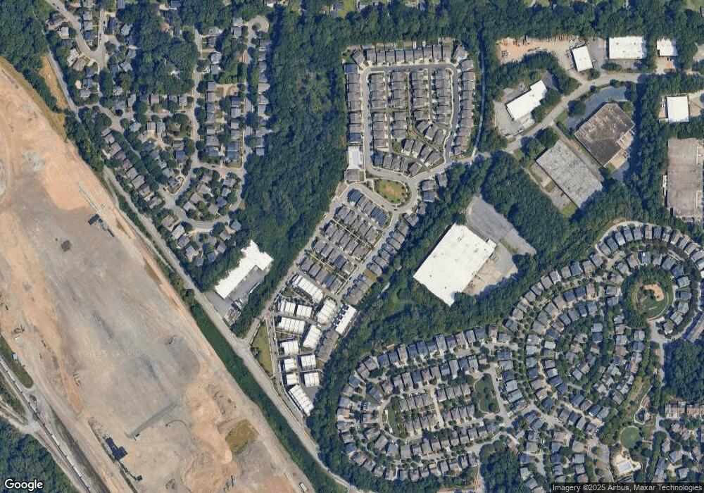
Map
Nearby Homes
- 1914 Coal Place
- 1923 Coal Place
- 1954 Westside Blvd NW
- 1953 Haley Walk
- 1837 Brooks Dr NW
- 1831 Brooks Dr NW
- 1433 Dupont Commons Cir NW
- 2099 Adams Dr NW
- 1697 Barfield Run NW
- 1612 Gilstrap Ln NW
- 1638 Gilstrap Ln NW
- 1660 Gilstrap Ln NW
- 2134 Whittier Place NW
- 1647 Dupont Commons Dr NW
- 1613 Dupont Commons Dr NW
- 2232 Dunseath Ave NW Unit 202
- 2232 Dunseath Ave NW Unit 204
- 1913 Red Eagle Walk
- 1917 Red Eagle Walk Unit 13
- 1917 Red Eagle Walk
- 1909 Red Eagle Walk Unit 15
- 1909 Red Eagle Walk
- 1921 Red Eagle Walk Unit 12
- 1921 Red Eagle Walk
- 1912 Red Eagle Walk
- 1916 Red Eagle Walk
- 1914 Coal Place Unit 17
- 1908 Red Eagle Walk
- 1918 Coal Place Unit 18
- 1916 Coal Place Unit 16
- 1916 Coal Place
- 1920 Red Eagle Walk
- 1925 Red Eagle Walk Unit 11
- 1925 Red Eagle Walk
- 1922 Coal Place Unit 19
- 1890 Brooks Dr NW
- 1886 Brooks Dr NW