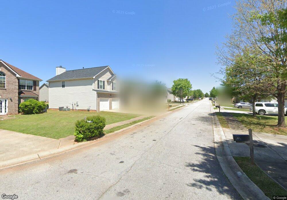
1913 Sandy Trail Dr Hampton, GA 30228
Estimated Value: $313,862 - $345,000
5
Beds
4
Baths
2,918
Sq Ft
$113/Sq Ft
Est. Value
About This Home
This home is located at 1913 Sandy Trail Dr, Hampton, GA 30228 and is currently estimated at $328,466, approximately $112 per square foot. 1913 Sandy Trail Dr is a home located in Clayton County with nearby schools including Michelle Obama STEM Elementary Academy, Eddie White Academy, and Lovejoy High School.
Ownership History
Date
Name
Owned For
Owner Type
Purchase Details
Closed on
Jan 22, 2008
Sold by
Legacy Cmntys Of Sawgrass Ests
Bought by
Jones Nailah S
Current Estimated Value
Home Financials for this Owner
Home Financials are based on the most recent Mortgage that was taken out on this home.
Original Mortgage
$143,016
Outstanding Balance
$89,502
Interest Rate
6.17%
Mortgage Type
New Conventional
Estimated Equity
$238,964
Create a Home Valuation Report for This Property
The Home Valuation Report is an in-depth analysis detailing your home's value as well as a comparison with similar homes in the area
Home Values in the Area
Average Home Value in this Area
Purchase History
| Date | Buyer | Sale Price | Title Company |
|---|---|---|---|
| Jones Nailah S | $178,800 | -- |
Source: Public Records
Mortgage History
| Date | Status | Borrower | Loan Amount |
|---|---|---|---|
| Open | Jones Nailah S | $143,016 |
Source: Public Records
Tax History
| Year | Tax Paid | Tax Assessment Tax Assessment Total Assessment is a certain percentage of the fair market value that is determined by local assessors to be the total taxable value of land and additions on the property. | Land | Improvement |
|---|---|---|---|---|
| 2025 | $2,394 | $138,040 | $10,400 | $127,640 |
| 2024 | $1,747 | $100,000 | $10,400 | $89,600 |
| 2023 | $1,188 | $100,000 | $10,400 | $89,600 |
| 2022 | $1,439 | $113,200 | $10,400 | $102,800 |
| 2021 | $1,458 | $84,760 | $10,400 | $74,360 |
| 2020 | $1,353 | $77,690 | $10,400 | $67,290 |
| 2019 | $1,392 | $77,599 | $9,600 | $67,999 |
| 2018 | $1,310 | $73,589 | $9,600 | $63,989 |
| 2017 | $1,253 | $68,042 | $9,600 | $58,442 |
| 2016 | $1,190 | $65,083 | $9,600 | $55,483 |
| 2015 | $802 | $0 | $0 | $0 |
| 2014 | $710 | $45,733 | $9,600 | $36,133 |
Source: Public Records
Map
Nearby Homes
- 1738 Blue Heron Way
- 2017 Sawgrass Dr
- 1828 Sandy Trail Dr
- 1744 Sandy Trail Dr
- 2234 Sawgrass Dr
- 2108 Sawgrass Dr
- 11447 S Grove Dr
- 1754 Grove Way
- 1785 Fielding Way
- 1737 Fielding Way
- 1938 Bertha Ct
- 11569 Kades Trail
- 1915 Grove Way
- 1942 Grove Way
- 1538 Woodvale St
- 1526 Woodvale St
- 11569 Kimberly Way
- 11811 Registry Blvd
- 2021 Registry Dr
- 11854 Registry Blvd
- 1919 Sandy Trail Dr
- 1907 Sandy Trail Dr
- 1914 Sawgrass Dr
- 1925 Sandy Trail Dr
- 1901 Sandy Trail Dr Unit 78
- 1901 Sandy Trail Dr
- 1920 Sawgrass Dr
- 1908 Sawgrass Dr
- 1912 Sandy Trail Dr
- 1926 Sawgrass Dr
- 1902 Sawgrass Dr
- 1906 Sandy Trail Dr
- 1918 Sandy Trail Dr
- 1895 Sandy Trail Dr
- 1931 Sandy Trail Dr
- 1900 Sandy Trail Dr
- 1924 Sandy Trail Dr
- 1896 Sawgrass Dr
- 1889 Sandy Trail Dr
- 1894 Sandy Trail Dr
Your Personal Tour Guide
Ask me questions while you tour the home.