1913 Tolson Ave Dundalk, MD 21222
Estimated Value: $259,000 - $291,000
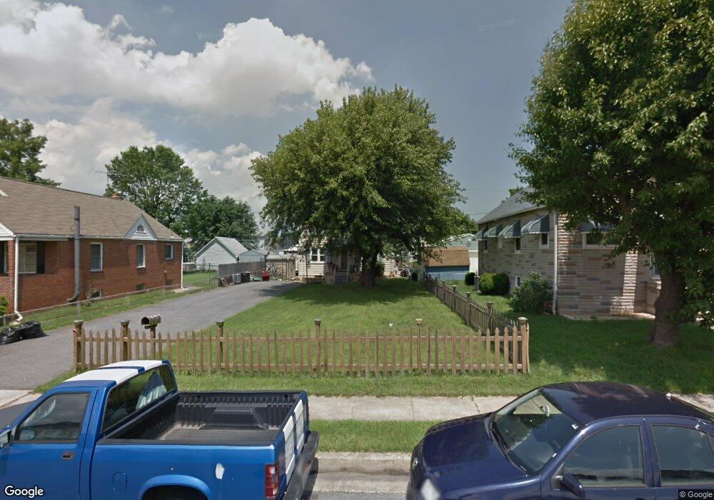
About This Home
This home is located at 1913 Tolson Ave, Dundalk, MD 21222 and is currently estimated at $275,400, approximately $186 per square foot. 1913 Tolson Ave is a home located in Baltimore County with nearby schools including Norwood Elementary School, Holabird Middle School, and Dundalk High School.
Ownership History
We collect this data history from publicly available records. To have your information removed, we recommend requesting removal directly through your county’s website.
Purchase Details
Purchase Details
Purchase Details
Purchase Details
Purchase Details
Home Values in the Area
Average Home Value in this Area
Purchase History
We collect this data history from publicly available records. To have your information removed, we recommend requesting removal directly through your county’s website.
| Date | Buyer | Sale Price | Title Company |
|---|---|---|---|
| -- | -- | ||
| $93,000 | -- | ||
| $110,000 | -- | ||
| $84,900 | -- | ||
| $50,000 | -- |
Tax History
We collect this data history from publicly available records. To have your information removed, we recommend requesting removal directly through your county’s website.
| Year | Tax Paid | Tax Assessment Tax Assessment Total Assessment is a certain percentage of the fair market value that is determined by local assessors to be the total taxable value of land and additions on the property. | Land | Improvement |
|---|---|---|---|---|
| 2025 | $4,264 | $204,933 | -- | -- |
| 2024 | $4,264 | $186,467 | $0 | $0 |
| 2023 | $1,707 | $168,000 | $54,000 | $114,000 |
| 2022 | $3,049 | $160,333 | $0 | $0 |
| 2021 | $2,499 | $152,667 | $0 | $0 |
| 2020 | $2,499 | $145,000 | $54,000 | $91,000 |
| 2019 | $2,284 | $140,600 | $0 | $0 |
| 2018 | $2,110 | $136,200 | $0 | $0 |
| 2017 | $12 | $131,800 | $0 | $0 |
| 2016 | $2,148 | $128,533 | $0 | $0 |
| 2015 | $2,148 | $125,267 | $0 | $0 |
| 2014 | $2,148 | $122,000 | $0 | $0 |
Map
- 1801 Tolson Ave
- 17 Sollers Point Rd
- 1823 Walnut Ave
- 6750 Railway Ave
- 6904 Homeway
- 1817 Maxwell Ave
- 1823 Dundalk Ave
- 1613 Dundalk Ave
- 1919 Maxwell Ave
- 1603 Dundalk Ave
- 6815 Bessemer Ave
- 1603 Malvern St
- 1925 Queensway
- 6520 Eastbourne Ave
- 6438 Hartwait St
- 1214 S 48th St
- 1268 Delbert Ave
- 6907 German Hill Rd
- 6320 Brown Ave
- 6321 Brown Ave
- 1915 Tolson Ave
- 1917 Tolson Ave
- 1909 Tolson Ave
- 1914 Crafton Ave
- 1916 Crafton Ave
- 1907 Tolson Ave
- 1912 Crafton Ave
- 6814 5th Ave
- 1918 Crafton Ave
- 1914 Tolson Ave
- 6900 5th Ave
- 1920 Crafton Ave
- 1905 Tolson Ave
- 1910 Crafton Ave
- 1912 Tolson Ave
- 6810 5th Ave
- 6910 5th Ave
- 1910 Tolson Ave
- 1922 Crafton Ave
- 1908 Crafton Ave
Ask me questions while you tour the home.