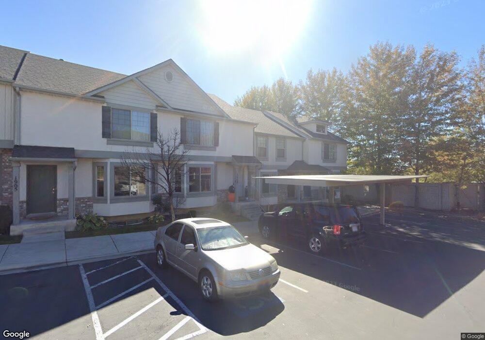
1913 W 960 N Unit 17 Provo, UT 84604
Rivergrove NeighborhoodEstimated Value: $391,000 - $439,000
3
Beds
3
Baths
2,138
Sq Ft
$194/Sq Ft
Est. Value
About This Home
This home is located at 1913 W 960 N Unit 17, Provo, UT 84604 and is currently estimated at $414,263, approximately $193 per square foot. 1913 W 960 N Unit 17 is a home located in Utah County with nearby schools including Westridge Elementary School, Dixon Middle School, and Provo High School.
Ownership History
Date
Name
Owned For
Owner Type
Purchase Details
Closed on
Dec 11, 2020
Sold by
Zabriskie Aaron Skyler and Zabriskie Kira Sylvia
Bought by
Zabriskie Aaron Skyler and Zabriskie Kira
Current Estimated Value
Home Financials for this Owner
Home Financials are based on the most recent Mortgage that was taken out on this home.
Original Mortgage
$261,578
Outstanding Balance
$232,882
Interest Rate
2.7%
Mortgage Type
New Conventional
Estimated Equity
$181,381
Purchase Details
Closed on
May 31, 2019
Sold by
Stewart Samantha and Keilbart Samantha
Bought by
Zabriskie Aaron Skyler
Home Financials for this Owner
Home Financials are based on the most recent Mortgage that was taken out on this home.
Original Mortgage
$256,500
Interest Rate
4.1%
Mortgage Type
New Conventional
Purchase Details
Closed on
May 30, 2019
Sold by
Zabriskie Aaron Skyler
Bought by
Zabriskie Aaron Skyler and Zabriskie Kira Sylvia
Home Financials for this Owner
Home Financials are based on the most recent Mortgage that was taken out on this home.
Original Mortgage
$256,500
Interest Rate
4.1%
Mortgage Type
New Conventional
Purchase Details
Closed on
Aug 2, 2016
Sold by
Jacob Collins
Bought by
Keilbart Samantha
Home Financials for this Owner
Home Financials are based on the most recent Mortgage that was taken out on this home.
Original Mortgage
$220,924
Interest Rate
3.48%
Purchase Details
Closed on
Jan 20, 2009
Sold by
Collins Jacob S and Collins Joseph
Bought by
Collins Jacob and Collins Joseph
Home Financials for this Owner
Home Financials are based on the most recent Mortgage that was taken out on this home.
Original Mortgage
$205,434
Interest Rate
5.49%
Mortgage Type
FHA
Purchase Details
Closed on
Nov 3, 2008
Sold by
Independence Avenue Llc
Bought by
Collins Jacob S and Collins Joseph
Home Financials for this Owner
Home Financials are based on the most recent Mortgage that was taken out on this home.
Original Mortgage
$205,364
Interest Rate
6.09%
Mortgage Type
FHA
Create a Home Valuation Report for This Property
The Home Valuation Report is an in-depth analysis detailing your home's value as well as a comparison with similar homes in the area
Home Values in the Area
Average Home Value in this Area
Purchase History
| Date | Buyer | Sale Price | Title Company |
|---|---|---|---|
| Zabriskie Aaron Skyler | -- | Provo Land Title Co | |
| Zabriskie Aaron Skyler | -- | Lydolph & Weierholt Ttl Ins | |
| Zabriskie Aaron Skyler | -- | Provo Land Title Co | |
| Keilbart Samantha | -- | -- | |
| Collins Jacob | -- | Provo Land Title Company | |
| Collins Jacob S | -- | First American Orem |
Source: Public Records
Mortgage History
| Date | Status | Borrower | Loan Amount |
|---|---|---|---|
| Open | Zabriskie Aaron Skyler | $261,578 | |
| Closed | Zabriskie Aaron Skyler | $256,500 | |
| Previous Owner | Keilbart Samantha | $220,924 | |
| Previous Owner | Keilbart Samantha | -- | |
| Previous Owner | Collins Jacob | $205,434 | |
| Previous Owner | Collins Jacob S | $205,364 |
Source: Public Records
Tax History Compared to Growth
Tax History
| Year | Tax Paid | Tax Assessment Tax Assessment Total Assessment is a certain percentage of the fair market value that is determined by local assessors to be the total taxable value of land and additions on the property. | Land | Improvement |
|---|---|---|---|---|
| 2025 | $2,128 | $207,900 | $55,600 | $322,400 |
| 2024 | $2,128 | $209,495 | $0 | $0 |
| 2023 | $2,041 | $198,055 | $0 | $0 |
| 2022 | $2,093 | $204,820 | $0 | $0 |
| 2021 | $1,641 | $280,000 | $42,000 | $238,000 |
| 2020 | $1,613 | $258,100 | $38,700 | $219,400 |
| 2019 | $1,551 | $258,000 | $33,500 | $224,500 |
| 2018 | $1,410 | $238,000 | $29,000 | $209,000 |
| 2017 | $1,305 | $121,000 | $0 | $0 |
| 2016 | $1,317 | $113,850 | $0 | $0 |
| 2015 | $1,259 | $110,000 | $0 | $0 |
| 2014 | $972 | $88,550 | $0 | $0 |
Source: Public Records
Map
Nearby Homes
- 927 Independence Ave
- 962 Independence Ave
- 932 N 1760 W
- 2043 W 1100 N
- 1127 Independence Ave
- 1893 Cascade Dr
- 1620 W 1000 N
- 986 N 1550 W
- 582 N 2310 W
- 2397 W 1160 N
- 2216 W 480 N
- 1503 N 1980 W
- 392 N 2150 W
- 1574 W 1400 N
- 255 N 1600 W Unit 148
- 255 N 1600 W Unit 52
- 255 N 1600 W Unit 84
- 255 N 1600 W Unit 108
- 1471 W 1460 N
- 398 N 2380 W
- 1913 W 960 N
- 1909 W 960 N
- 1909 W 960 N Unit 16
- 1917 W 960 N
- 1917 W 960 N Unit 18
- 1905 W 960 N
- 1901 W 960 N
- 1901 W 960 N Unit 14
- 1897 W 960 N
- 1912 W 890 N Unit 91
- 1912 W 890 N
- 1916 W 890 N Unit 92
- 1916 W 890 N
- 1906 W 890 N Unit 90
- 1906 W 890 N
- 1893 W 960 N
- 1902 W 890 N
- 1896 W 890 N Unit 88
- 1916 W 960 N
- 1916 W 960 N Unit 19