19130 Woods Rd Vernonia, OR 97064
Estimated Value: $660,000 - $668,735
3
Beds
2
Baths
2,020
Sq Ft
$329/Sq Ft
Est. Value
About This Home
This home is located at 19130 Woods Rd, Vernonia, OR 97064 and is currently estimated at $664,368, approximately $328 per square foot. 19130 Woods Rd is a home located in Columbia County with nearby schools including Vernonia High School.
Ownership History
Date
Name
Owned For
Owner Type
Purchase Details
Closed on
Mar 26, 2007
Sold by
Baer Daniel J and Baer Delinda J
Bought by
Binford Robert S and Binford Janice S
Current Estimated Value
Home Financials for this Owner
Home Financials are based on the most recent Mortgage that was taken out on this home.
Original Mortgage
$376,000
Outstanding Balance
$229,085
Interest Rate
6.29%
Mortgage Type
Purchase Money Mortgage
Estimated Equity
$435,283
Create a Home Valuation Report for This Property
The Home Valuation Report is an in-depth analysis detailing your home's value as well as a comparison with similar homes in the area
Home Values in the Area
Average Home Value in this Area
Purchase History
| Date | Buyer | Sale Price | Title Company |
|---|---|---|---|
| Binford Robert S | $470,000 | First American Title |
Source: Public Records
Mortgage History
| Date | Status | Borrower | Loan Amount |
|---|---|---|---|
| Open | Binford Robert S | $376,000 |
Source: Public Records
Tax History Compared to Growth
Tax History
| Year | Tax Paid | Tax Assessment Tax Assessment Total Assessment is a certain percentage of the fair market value that is determined by local assessors to be the total taxable value of land and additions on the property. | Land | Improvement |
|---|---|---|---|---|
| 2024 | $4,225 | $340,066 | $128,446 | $211,620 |
| 2023 | $4,199 | $330,164 | $128,834 | $201,330 |
| 2022 | $3,968 | $320,550 | $125,030 | $195,520 |
| 2021 | $3,853 | $311,221 | $123,091 | $188,130 |
| 2020 | $3,757 | $302,160 | $114,920 | $187,240 |
| 2019 | $3,439 | $293,365 | $110,545 | $182,820 |
| 2018 | $3,418 | $284,826 | $128,190 | $156,636 |
| 2017 | $3,355 | $276,534 | $114,254 | $162,280 |
| 2016 | $3,184 | $268,487 | $110,927 | $157,560 |
| 2015 | $2,977 | $260,676 | $105,146 | $155,530 |
| 2014 | $2,582 | $219,258 | $66,828 | $152,430 |
Source: Public Records
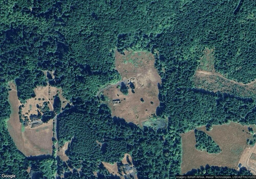
Map
Nearby Homes
- 0 Nehalem Hwy N
- 62411 Nehalem Hwy N
- 1400 E Knott St
- 0000 Keasey Rd
- 0 Keasey Rd Unit 518725712
- 251 E I St
- 233 E I St
- 1852 N Mist Dr
- 158 E H St
- 144 E H St
- 0 Ave Unit 439855536
- 669 N Mist Dr
- 959 Spencer Ave
- 935 Spencer Ave
- 344 Mississippi Ave
- 927 Spencer Ave
- 176 North St
- 821 Bridge St
- 1160 Rose Ave
- 441 North St
- 19025 Woods Rd
- 19020 Woods Rd
- 18999 Woods Rd
- 61161 Stoney Point Rd
- 18888 Woods Rd
- 61181 Stoney Point Rd
- 61166 Stoney Point Rd
- 61145 Stoney Point Rd
- 61158 Stoney Point Rd
- 61151 Stoney Point Rd
- 61281 Stoney Point Rd
- 61150 Stoney Point Rd
- 61130 Stoney Point Rd
- 61121 Stoney Point Rd
- 61010 Stoney Point Rd
- 61400 Stoney Point Rd
- 60995 Stoney Point Rd
- 61421 Stoney Point Rd
- 60981 Nehalem Hwy N
- 61011 Nehalem Hwy N