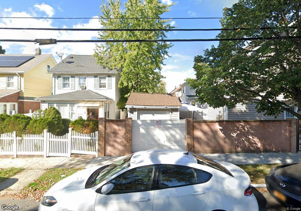
19139 114th Rd Saint Albans, NY 11412
Saint Albans NeighborhoodEstimated Value: $638,000 - $697,000
3
Beds
2
Baths
1,509
Sq Ft
$449/Sq Ft
Est. Value
About This Home
This home is located at 19139 114th Rd, Saint Albans, NY 11412 and is currently estimated at $677,093, approximately $448 per square foot. 19139 114th Rd is a home located in Queens County with nearby schools including P.S. 118 Lorraine Hansberry, Is 59 Springfield Gardens, and Riverton Street Charter School.
Ownership History
Date
Name
Owned For
Owner Type
Purchase Details
Closed on
Oct 20, 2014
Sold by
Nunes Panchita J
Bought by
Nunes Panchita J and Nunes Racquel J
Current Estimated Value
Purchase Details
Closed on
Dec 20, 2013
Sold by
Woodfield Twelve Llc
Bought by
Nunes Panchita
Purchase Details
Closed on
Mar 27, 2012
Sold by
Taylor Martha
Bought by
Woodfield Twelve Llc
Purchase Details
Closed on
Aug 5, 2005
Sold by
Clark Roslyn and Ferrari Brenda
Bought by
Willis Durmott
Purchase Details
Closed on
Apr 12, 1999
Sold by
Better Homes Depot Inc
Bought by
Mcpherson Ferreri Brenda and Knights Sherma
Home Financials for this Owner
Home Financials are based on the most recent Mortgage that was taken out on this home.
Original Mortgage
$213,242
Interest Rate
6.85%
Mortgage Type
FHA
Purchase Details
Closed on
Jan 20, 1999
Sold by
Housing Opportunities For Growth Advance
Bought by
Better Homes Depot Inc
Purchase Details
Closed on
Dec 10, 1998
Sold by
Hud
Bought by
Hogar Inc
Purchase Details
Closed on
May 14, 1995
Sold by
Lee Gerald
Bought by
Arthur Christin
Home Financials for this Owner
Home Financials are based on the most recent Mortgage that was taken out on this home.
Original Mortgage
$138,855
Interest Rate
8.33%
Mortgage Type
FHA
Purchase Details
Closed on
Apr 7, 1995
Sold by
Urban International Of Queens Inc
Bought by
Lee Gerald
Home Financials for this Owner
Home Financials are based on the most recent Mortgage that was taken out on this home.
Original Mortgage
$138,855
Interest Rate
8.33%
Mortgage Type
FHA
Purchase Details
Closed on
Apr 6, 1995
Sold by
Porter Bryant
Bought by
Cook Carl B
Home Financials for this Owner
Home Financials are based on the most recent Mortgage that was taken out on this home.
Original Mortgage
$138,855
Interest Rate
8.33%
Mortgage Type
FHA
Purchase Details
Closed on
Sep 27, 1993
Sold by
Cook Carl B
Bought by
Urban International Of Queens Inc
Create a Home Valuation Report for This Property
The Home Valuation Report is an in-depth analysis detailing your home's value as well as a comparison with similar homes in the area
Home Values in the Area
Average Home Value in this Area
Purchase History
| Date | Buyer | Sale Price | Title Company |
|---|---|---|---|
| Nunes Panchita J | -- | -- | |
| Nunes Panchita | $355,000 | -- | |
| Woodfield Twelve Llc | $225,000 | -- | |
| Willis Durmott | $415,000 | -- | |
| Mcpherson Ferreri Brenda | $215,000 | -- | |
| Better Homes Depot Inc | $120,000 | Title Usa Insurance Corp | |
| Hogar Inc | $130,500 | -- | |
| Arthur Christin | -- | Commonwealth Land Title Ins | |
| Lee Gerald | $140,000 | First American Title Ins Co | |
| Cook Carl B | -- | Long Island Title Agency | |
| Urban International Of Queens Inc | -- | Commonwealth Land Title Insu |
Source: Public Records
Mortgage History
| Date | Status | Borrower | Loan Amount |
|---|---|---|---|
| Previous Owner | Mcpherson Ferreri Brenda | $213,242 | |
| Previous Owner | Lee Gerald | $138,855 |
Source: Public Records
Tax History Compared to Growth
Tax History
| Year | Tax Paid | Tax Assessment Tax Assessment Total Assessment is a certain percentage of the fair market value that is determined by local assessors to be the total taxable value of land and additions on the property. | Land | Improvement |
|---|---|---|---|---|
| 2025 | $5,120 | $26,266 | $7,244 | $19,022 |
| 2024 | $5,120 | $25,493 | $6,603 | $18,890 |
| 2023 | $4,830 | $24,050 | $5,671 | $18,379 |
| 2022 | $4,530 | $40,920 | $11,220 | $29,700 |
| 2021 | $4,479 | $35,940 | $11,220 | $24,720 |
| 2020 | $4,337 | $32,340 | $11,220 | $21,120 |
| 2019 | $4,151 | $28,920 | $11,220 | $17,700 |
| 2018 | $3,788 | $20,042 | $7,890 | $12,152 |
| 2017 | $3,555 | $18,909 | $8,562 | $10,347 |
| 2016 | $3,470 | $18,909 | $8,562 | $10,347 |
| 2015 | $1,932 | $18,240 | $12,480 | $5,760 |
| 2014 | $1,932 | $17,704 | $12,034 | $5,670 |
Source: Public Records
Map
Nearby Homes
- 191-34 114th Rd
- 191-47 114th Dr
- 191-16 114th Rd
- 19431 114th Rd
- 19427 Murdock Ave
- 194-42 Murdock Ave
- 19432 113th Rd
- 19445 Murdock Ave
- 194-19 115th Rd
- 194-56 Murdock Ave
- 189-18 114th Dr
- 18908 114th Rd
- 191-68 115th Rd
- 194-34 115th Rd
- 191-40 112th Rd
- 114-22 197th St
- 18918 Tioga Dr
- 114-28 198th St
- 194-16 112th Ave
- 114-64 198th St
- 19139 114th Rd
- 19135 114th Rd
- 11416 194th St
- 11420 194th St
- 114-16 194 St
- 19133 114th Rd
- 19133 114th Rd
- 11412 194th St
- 114-16 194th St
- 19129 114th Rd
- 11408 194th St
- 11428 194th St
- 19140 Murdock Ave
- 19136 Murdock Ave
- 19127 114th Rd
- 11406 194th St
- 19134 114th Rd
- 19134 Murdock Ave
- 19140 114th Rd
- 19136 114th Rd