1914 Barnett West Ct Buford, GA 30518
Estimated Value: $386,597 - $405,000
3
Beds
2
Baths
1,872
Sq Ft
$213/Sq Ft
Est. Value
About This Home
This home is located at 1914 Barnett West Ct, Buford, GA 30518 and is currently estimated at $398,399, approximately $212 per square foot. 1914 Barnett West Ct is a home located in Gwinnett County with nearby schools including White Oak Elementary School, Lanier Middle School, and Lanier High School.
Ownership History
Date
Name
Owned For
Owner Type
Purchase Details
Closed on
Oct 30, 2001
Sold by
Winmark Homes Inc
Bought by
Bransford Vicki A
Current Estimated Value
Home Financials for this Owner
Home Financials are based on the most recent Mortgage that was taken out on this home.
Original Mortgage
$150,250
Outstanding Balance
$56,795
Interest Rate
6.57%
Mortgage Type
FHA
Estimated Equity
$341,604
Create a Home Valuation Report for This Property
The Home Valuation Report is an in-depth analysis detailing your home's value as well as a comparison with similar homes in the area
Home Values in the Area
Average Home Value in this Area
Purchase History
| Date | Buyer | Sale Price | Title Company |
|---|---|---|---|
| Bransford Vicki A | $152,700 | -- |
Source: Public Records
Mortgage History
| Date | Status | Borrower | Loan Amount |
|---|---|---|---|
| Open | Bransford Vicki A | $150,250 |
Source: Public Records
Tax History Compared to Growth
Tax History
| Year | Tax Paid | Tax Assessment Tax Assessment Total Assessment is a certain percentage of the fair market value that is determined by local assessors to be the total taxable value of land and additions on the property. | Land | Improvement |
|---|---|---|---|---|
| 2025 | $4,174 | $154,800 | $34,000 | $120,800 |
| 2024 | $4,069 | $143,120 | $33,200 | $109,920 |
| 2023 | $4,069 | $129,360 | $30,000 | $99,360 |
| 2022 | $3,606 | $122,680 | $24,000 | $98,680 |
| 2021 | $2,909 | $87,040 | $18,400 | $68,640 |
| 2020 | $2,928 | $87,040 | $18,400 | $68,640 |
| 2019 | $2,596 | $75,400 | $16,000 | $59,400 |
| 2018 | $2,596 | $75,400 | $16,000 | $59,400 |
| 2016 | $2,337 | $63,280 | $16,000 | $47,280 |
| 2015 | $1,979 | $52,520 | $10,800 | $41,720 |
| 2014 | -- | $44,720 | $10,800 | $33,920 |
Source: Public Records
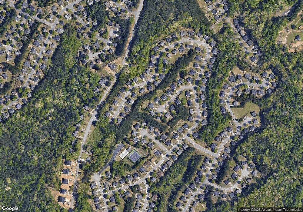
Map
Nearby Homes
- 5552 Little Mill Rd
- 2090 Mina Lane Dr
- 1920 Patrick Mill Place
- 1770 Patrick Mill Place
- 900 Melody Ridge Ln
- 2243 Bedstone Dr Unit 2
- 5601 Creek Dale Way
- 5600 Creek Dale Way
- 1983 Anchor Way Unit 1
- 5774 Harbor Dr
- 6265 Lake Windsor Pkwy
- 5820 Elm Tree Dr Unit 1
- 5871 Dolvin Ln
- 5789 Creek Indian Dr
- 1481 Buice Crest Dr
- 2030 Buford Dam Rd
- 5537 N Richland Creek Rd
- 5571 Shadburn Ferry Rd
- 1647 Shire Village Dr
- 1810 Primrose Park Rd
- 1904 Barnett West Ct NE
- 1904 Barnett West Ct
- 1924 Barnett W Ct NE
- 1924 Barnett Ct W Unit 1924
- 1924 Barnett Ct W
- 1924 Barnett West Ct
- 1873 Skylar Leigh Dr
- 1873 Skylar Leigh Dr Unit 1/179
- 1843 Skylar Leigh Dr Unit 1
- 1863 Skylar Leigh Dr
- 1883 Skylar Leigh Dr
- 2316 Copper Grove Ln
- 1934 Barnett Ct W
- 1934 Barnett West Ct
- 1833 Skylar Leigh Dr Unit 1
- 1905 Barnett West Ct NE
- 2306 Copper Grove Ln
- 1905 Barnett West Ct
- 2326 Copper Grove Ln
- 1905 Barnett W Ct NE