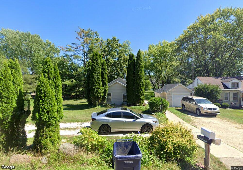
1914 Charles St Janesville, WI 53548
Estimated Value: $134,149 - $157,000
3
Beds
1
Bath
1,040
Sq Ft
$136/Sq Ft
Est. Value
About This Home
This home is located at 1914 Charles St, Janesville, WI 53548 and is currently estimated at $141,537, approximately $136 per square foot. 1914 Charles St is a home located in Rock County with nearby schools including Washington Elementary School, Franklin Middle School, and Parker High School.
Ownership History
Date
Name
Owned For
Owner Type
Purchase Details
Closed on
Jul 16, 2025
Sold by
Leroy A Schwader Revocable Living Trust and Schwader Warren
Bought by
Patrick Benjamin R and Patrick Sandra J
Current Estimated Value
Home Financials for this Owner
Home Financials are based on the most recent Mortgage that was taken out on this home.
Original Mortgage
$108,000
Outstanding Balance
$107,816
Interest Rate
6.81%
Mortgage Type
New Conventional
Estimated Equity
$33,721
Create a Home Valuation Report for This Property
The Home Valuation Report is an in-depth analysis detailing your home's value as well as a comparison with similar homes in the area
Home Values in the Area
Average Home Value in this Area
Purchase History
| Date | Buyer | Sale Price | Title Company |
|---|---|---|---|
| Patrick Benjamin R | $135,000 | None Listed On Document |
Source: Public Records
Mortgage History
| Date | Status | Borrower | Loan Amount |
|---|---|---|---|
| Open | Patrick Benjamin R | $108,000 |
Source: Public Records
Tax History Compared to Growth
Tax History
| Year | Tax Paid | Tax Assessment Tax Assessment Total Assessment is a certain percentage of the fair market value that is determined by local assessors to be the total taxable value of land and additions on the property. | Land | Improvement |
|---|---|---|---|---|
| 2024 | $1,336 | $93,800 | $15,600 | $78,200 |
| 2023 | $1,298 | $92,200 | $15,600 | $76,600 |
| 2022 | $1,438 | $66,500 | $15,600 | $50,900 |
| 2021 | $1,315 | $66,500 | $15,600 | $50,900 |
| 2020 | $1,517 | $66,500 | $15,600 | $50,900 |
| 2019 | $1,304 | $66,500 | $15,600 | $50,900 |
| 2018 | $1,229 | $53,600 | $15,600 | $38,000 |
| 2017 | $1,227 | $53,600 | $15,600 | $38,000 |
| 2016 | $1,185 | $53,600 | $15,600 | $38,000 |
Source: Public Records
Map
Nearby Homes
- 1936 N Washington St
- 1326 Myra Ave
- 1402 Myra Ave
- 1263 N Parker Dr
- 1415 Barham Ave
- 1526 Manor Dr
- 1406 Macarthur Dr
- 2312 Mole Ave
- 915 Sutherland Ave
- 1414 Camelot Dr
- 1506 Winchester Place
- 821 N Washington St
- 917 Thomas St
- 2930 W Memorial Dr
- 1128 N Osborne Ave
- 825 Sutherland Ave
- 2329 Summit Dr
- 1308 Winchester Place
- 1718 Linden Ave
- 1222 Prairie Ave
- 1910 Charles St
- 1920 Charles St
- 1921 Joseph St
- 1122 Elgin Ave
- 2003 Joseph St
- 2003 Ice Age Way
- 1903 Joseph St
- 2010 Charles St
- 1909 Charles St
- 2009 Joseph St
- 2001 Charles St
- 1909 Joseph St
- 2010 Parkside Dr
- 2012 Parkside Dr Unit 2
- 1822 Charles St
- 1109 Elgin Ave
- 1205 Elgin Ave
- 1211 Elgin Ave
- 1925 Parkside Dr
- 1821 Joseph St