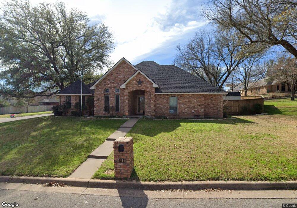
1914 Country Brook Dr Weatherford, TX 76087
Estimated Value: $391,000 - $472,000
--
Bed
--
Bath
2,576
Sq Ft
$169/Sq Ft
Est. Value
About This Home
This home is located at 1914 Country Brook Dr, Weatherford, TX 76087 and is currently estimated at $434,587, approximately $168 per square foot. 1914 Country Brook Dr is a home located in Parker County with nearby schools including Austin Elementary School, Hall Middle School, and Weatherford High School.
Ownership History
Date
Name
Owned For
Owner Type
Purchase Details
Closed on
Oct 19, 2006
Sold by
Rogers Charles Edward and Rogers Deborah L Ryan
Bought by
Horsman William R and Horsman Martha
Current Estimated Value
Home Financials for this Owner
Home Financials are based on the most recent Mortgage that was taken out on this home.
Original Mortgage
$126,500
Outstanding Balance
$74,731
Interest Rate
6.28%
Mortgage Type
New Conventional
Estimated Equity
$359,856
Purchase Details
Closed on
Nov 24, 2003
Sold by
Freeman Terri L
Bought by
Horsman William R and Horsman Martha
Purchase Details
Closed on
Nov 20, 2003
Sold by
Freeman Terri L
Bought by
Horsman William R and Horsman Martha
Purchase Details
Closed on
Aug 21, 1996
Bought by
Horsman William R and Horsman Martha
Purchase Details
Closed on
Jun 28, 1990
Bought by
Horsman William R and Horsman Martha
Create a Home Valuation Report for This Property
The Home Valuation Report is an in-depth analysis detailing your home's value as well as a comparison with similar homes in the area
Home Values in the Area
Average Home Value in this Area
Purchase History
| Date | Buyer | Sale Price | Title Company |
|---|---|---|---|
| Horsman William R | -- | Alamo Title | |
| Horsman William R | -- | -- | |
| Horsman William R | -- | -- | |
| Horsman William R | -- | -- | |
| Horsman William R | -- | -- |
Source: Public Records
Mortgage History
| Date | Status | Borrower | Loan Amount |
|---|---|---|---|
| Open | Horsman William R | $126,500 |
Source: Public Records
Tax History Compared to Growth
Tax History
| Year | Tax Paid | Tax Assessment Tax Assessment Total Assessment is a certain percentage of the fair market value that is determined by local assessors to be the total taxable value of land and additions on the property. | Land | Improvement |
|---|---|---|---|---|
| 2025 | $2,204 | $396,602 | -- | -- |
| 2024 | $2,204 | $360,547 | -- | -- |
| 2023 | $2,204 | $327,770 | $0 | $0 |
| 2022 | $6,609 | $320,140 | $30,000 | $290,140 |
| 2021 | $6,505 | $320,140 | $30,000 | $290,140 |
| 2020 | $5,950 | $263,350 | $30,000 | $233,350 |
| 2019 | $5,717 | $263,350 | $30,000 | $233,350 |
| 2018 | $5,220 | $203,520 | $30,000 | $173,520 |
| 2017 | $5,355 | $203,520 | $30,000 | $173,520 |
| 2016 | $5,197 | $197,520 | $30,000 | $167,520 |
| 2015 | $3,711 | $197,520 | $30,000 | $167,520 |
| 2014 | $3,839 | $181,500 | $30,000 | $151,500 |
Source: Public Records
Map
Nearby Homes
- 1910 Maplewood Dr
- 104 Carriage Hill Ct
- 2020 Maplewood Dr
- 2102 Clear Creek Dr
- 1905 Clear Creek Dr
- 2218 Lake Country Dr
- 2214 Lake Country Dr
- 2116 Clear Lake Rd
- 2202 Lakeforest Dr
- 2113 Country Brook Dr
- 2001 Santa fe Dr
- 344 Clear Lake Ln
- 105 Country Green Ct
- 128 Black Forest Dr
- 118 Black Forest Dr
- 1421 Highlake Ln
- 101 Black Forest Dr
- 115 Autumn Springs Ct
- 221 Arapahoe Ridge
- 1628 Holland Lake Dr
- 1916 Country Brook Dr
- 1913 Country Brook Dr
- 1915 Country Brook Dr
- 104 Mill Creek Ln
- 109 Mill Creek Ln
- 1917 Country Brook Dr
- 1910 Country Brook Dr
- 106 Mill Creek Ln
- 1926 Maplewood Dr
- 1918 Country Brook Dr
- 103 Raintree Ct
- 2000 Maplewood Dr
- 111 Mill Creek Ln
- 1909 Country Brook Dr
- 2004 Maplewood Dr
- 1918 Maplewood Dr
- 1919 Country Brook Dr
- 108 Mill Creek Ln
- 110 Mill Creek Ln
- 1920 Country Brook Dr