1914 N Cedar Park Dr Point Roberts, WA 98281
Estimated Value: $518,217 - $693,000
3
Beds
2
Baths
1,965
Sq Ft
$300/Sq Ft
Est. Value
About This Home
This home is located at 1914 N Cedar Park Dr, Point Roberts, WA 98281 and is currently estimated at $589,304, approximately $299 per square foot. 1914 N Cedar Park Dr is a home located in Whatcom County with nearby schools including Point Roberts Primary School, Blaine Middle School, and Blaine High School.
Ownership History
Date
Name
Owned For
Owner Type
Purchase Details
Closed on
Dec 22, 2007
Sold by
Baker Tyler and Cooper Robert
Bought by
Roberts Steve F and Roberts Meredith Lee
Current Estimated Value
Home Financials for this Owner
Home Financials are based on the most recent Mortgage that was taken out on this home.
Original Mortgage
$292,000
Interest Rate
5.85%
Mortgage Type
Purchase Money Mortgage
Purchase Details
Closed on
Jul 31, 2006
Sold by
Baker Brian
Bought by
Baker Tyler and Cooper Robert
Purchase Details
Closed on
Mar 20, 2006
Sold by
Hazzi Joe
Bought by
Baker Brian
Purchase Details
Closed on
Mar 22, 2005
Sold by
Nielsen Poul E and Nielsen Bridget Gavigan
Bought by
Hazzi Joe
Create a Home Valuation Report for This Property
The Home Valuation Report is an in-depth analysis detailing your home's value as well as a comparison with similar homes in the area
Home Values in the Area
Average Home Value in this Area
Purchase History
| Date | Buyer | Sale Price | Title Company |
|---|---|---|---|
| Roberts Steve F | $365,280 | Whatcom Land Title | |
| Baker Tyler | -- | None Available | |
| Baker Brian | -- | Whatcom Land Title Co | |
| Hazzi Joe | $35,000 | Whatcom Land Title |
Source: Public Records
Mortgage History
| Date | Status | Borrower | Loan Amount |
|---|---|---|---|
| Closed | Roberts Steve F | $292,000 |
Source: Public Records
Tax History Compared to Growth
Tax History
| Year | Tax Paid | Tax Assessment Tax Assessment Total Assessment is a certain percentage of the fair market value that is determined by local assessors to be the total taxable value of land and additions on the property. | Land | Improvement |
|---|---|---|---|---|
| 2024 | $3,696 | $464,756 | $102,383 | $362,373 |
| 2023 | $3,696 | $455,448 | $93,075 | $362,373 |
| 2022 | $3,493 | $415,934 | $85,000 | $330,934 |
| 2021 | $3,479 | $356,869 | $40,128 | $316,741 |
| 2020 | $3,460 | $330,429 | $37,155 | $293,274 |
| 2019 | $3,203 | $316,956 | $35,640 | $281,316 |
| 2018 | $3,128 | $284,940 | $32,040 | $252,900 |
| 2017 | $2,712 | $272,134 | $30,600 | $241,534 |
| 2016 | $2,995 | $266,798 | $30,000 | $236,798 |
| 2015 | $3,186 | $286,653 | $32,847 | $253,806 |
| 2014 | -- | $299,671 | $34,340 | $265,331 |
| 2013 | -- | $286,179 | $32,980 | $253,199 |
Source: Public Records
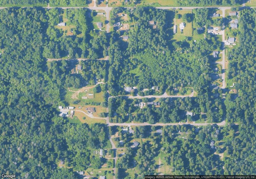
Map
Nearby Homes
- 0 6 39 Acres South Beach Rd
- lot 14 Cedar Park Dr Unit 14
- 1976 Cedar Park Dr
- Lot 2 Greenwood Dr
- 2 Benson Rd
- 1940 Apa Rd
- 1911 Apa Rd
- 8 Heather Way
- 634 S Beach Rd
- 2045 Apa Rd
- 661 Driftwood Ln
- 1934 Waters Rd
- 1927 Orcas View Way
- 2138 Benson Rd
- 675 Sylvia Dr
- 698 Kendor Dr
- 1 Mill Rd
- 2 Mill Rd
- 1920 Patos Way
- 1871 Johnson Rd
- 1906 N Cedar Park Dr
- 1915 N Cedar Park Dr
- 1921 N Cedar Park Dr
- 450 S Beach Rd
- 1902 Cedar Park Dr
- 1920 Cedar Park Dr
- 1912 Cedar Park Dr
- 1932 N Cedar Park Dr
- 1931 Cedar Park Dr
- 1937 N Cedar Park Dr
- 1987 Cedar Park Dr
- 1944 Cedar Park Dr
- 1972 Cedar Park Dr
- 1943 Cedar Park Dr
- 479 S Beach Rd
- 1913 Cedar Park Dr
- 500 S Beach Rd
- 1921 Cedar Park Dr
- 1883 Anderson Rd