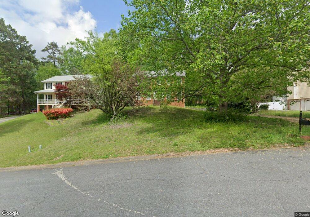
1914 Nantucket Dr Woodstock, GA 30189
Oak Grove NeighborhoodEstimated Value: $368,390 - $388,000
3
Beds
3
Baths
2,088
Sq Ft
$181/Sq Ft
Est. Value
About This Home
This home is located at 1914 Nantucket Dr, Woodstock, GA 30189 and is currently estimated at $378,195, approximately $181 per square foot. 1914 Nantucket Dr is a home located in Cherokee County with nearby schools including Carmel Elementary School, Woodstock Middle School, and Woodstock High School.
Ownership History
Date
Name
Owned For
Owner Type
Purchase Details
Closed on
Mar 17, 2022
Sold by
Mullen Richard T
Bought by
Mullen Michael T
Current Estimated Value
Home Financials for this Owner
Home Financials are based on the most recent Mortgage that was taken out on this home.
Original Mortgage
$227,000
Outstanding Balance
$211,188
Interest Rate
3.55%
Mortgage Type
New Conventional
Estimated Equity
$167,007
Purchase Details
Closed on
Aug 6, 1993
Sold by
Monti Brian J and Monti Laura
Bought by
Mullen Richard and Mullen Sherrie L
Home Financials for this Owner
Home Financials are based on the most recent Mortgage that was taken out on this home.
Original Mortgage
$117,935
Interest Rate
7.22%
Mortgage Type
FHA
Create a Home Valuation Report for This Property
The Home Valuation Report is an in-depth analysis detailing your home's value as well as a comparison with similar homes in the area
Home Values in the Area
Average Home Value in this Area
Purchase History
| Date | Buyer | Sale Price | Title Company |
|---|---|---|---|
| Mullen Michael T | $285,000 | -- | |
| Mullen Richard | $120,000 | -- |
Source: Public Records
Mortgage History
| Date | Status | Borrower | Loan Amount |
|---|---|---|---|
| Open | Mullen Michael T | $227,000 | |
| Previous Owner | Mullen Richard | $117,935 |
Source: Public Records
Tax History Compared to Growth
Tax History
| Year | Tax Paid | Tax Assessment Tax Assessment Total Assessment is a certain percentage of the fair market value that is determined by local assessors to be the total taxable value of land and additions on the property. | Land | Improvement |
|---|---|---|---|---|
| 2024 | $3,423 | $140,372 | $32,000 | $108,372 |
| 2023 | $2,775 | $130,252 | $32,000 | $98,252 |
| 2022 | $2,559 | $106,692 | $24,000 | $82,692 |
| 2021 | $2,276 | $85,332 | $16,800 | $68,532 |
| 2020 | $2,245 | $83,932 | $16,800 | $67,132 |
| 2019 | $1,995 | $73,160 | $16,800 | $56,360 |
| 2018 | $1,930 | $69,920 | $16,800 | $53,120 |
| 2017 | $1,654 | $164,900 | $16,800 | $49,160 |
| 2016 | $1,654 | $147,800 | $14,400 | $44,720 |
| 2015 | $1,633 | $144,600 | $14,400 | $43,440 |
| 2014 | $1,550 | $137,300 | $14,000 | $40,920 |
Source: Public Records
Map
Nearby Homes
- 1912 Nantucket Dr
- 1916 Nantucket Dr
- 1048 Boston Ridge
- 1046 Boston Ridge
- 1050 Boston Ridge
- 1910 Nantucket Dr Unit I
- 1924 Nantucket Dr
- 1052 Boston Ridge Unit 1
- 1044 Boston Ridge
- 1918 Nantucket Dr
- 1908 Nantucket Dr
- 1920 Nantucket Dr
- 1922 Nantucket Dr
- 1054 Boston Ridge Unit 1
- 1042 Boston Ridge
- 2004 Berkshire Ct Unit 1
- 1915 Nantucket Dr Unit 1
- 1039 Boston Ridge
- 1041 Boston Ridge
- 1037 Boston Ridge