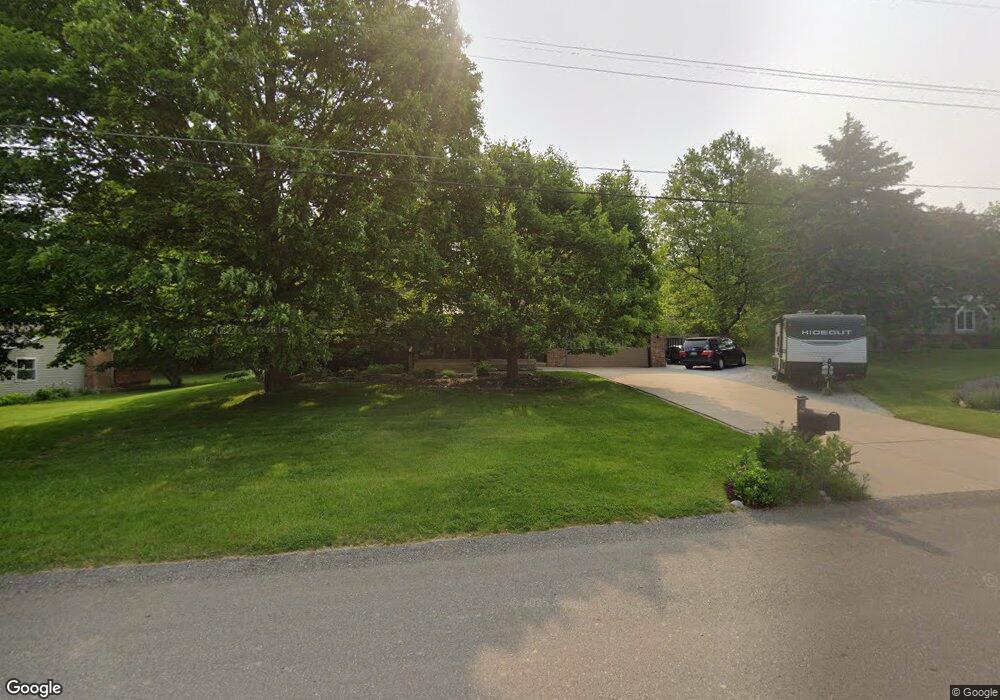
1914 Pheasant Ave NW Grand Rapids, MI 49534
Estimated Value: $379,000 - $500,000
4
Beds
3
Baths
2,500
Sq Ft
$166/Sq Ft
Est. Value
About This Home
This home is located at 1914 Pheasant Ave NW, Grand Rapids, MI 49534 and is currently estimated at $415,626, approximately $166 per square foot. 1914 Pheasant Ave NW is a home located in Kent County with nearby schools including Kenowa Hills Central Elementary School, Kenowa Hills Middle School, and Kenowa Hills High School.
Ownership History
Date
Name
Owned For
Owner Type
Purchase Details
Closed on
Feb 15, 2007
Sold by
Desmit Thomas J and De Smit Patricia A
Bought by
Mitchell Peter P and Mitchell Jennifer M
Current Estimated Value
Home Financials for this Owner
Home Financials are based on the most recent Mortgage that was taken out on this home.
Original Mortgage
$224,900
Outstanding Balance
$135,229
Interest Rate
6.23%
Mortgage Type
Purchase Money Mortgage
Estimated Equity
$280,397
Create a Home Valuation Report for This Property
The Home Valuation Report is an in-depth analysis detailing your home's value as well as a comparison with similar homes in the area
Home Values in the Area
Average Home Value in this Area
Purchase History
| Date | Buyer | Sale Price | Title Company |
|---|---|---|---|
| Mitchell Peter P | $224,900 | None Available |
Source: Public Records
Mortgage History
| Date | Status | Borrower | Loan Amount |
|---|---|---|---|
| Open | Mitchell Peter P | $224,900 |
Source: Public Records
Tax History Compared to Growth
Tax History
| Year | Tax Paid | Tax Assessment Tax Assessment Total Assessment is a certain percentage of the fair market value that is determined by local assessors to be the total taxable value of land and additions on the property. | Land | Improvement |
|---|---|---|---|---|
| 2025 | $2,340 | $162,000 | $0 | $0 |
| 2024 | $2,340 | $149,600 | $0 | $0 |
| 2023 | $2,238 | $129,700 | $0 | $0 |
| 2022 | $2,407 | $117,700 | $0 | $0 |
| 2021 | $2,346 | $115,100 | $0 | $0 |
| 2020 | $2,059 | $107,900 | $0 | $0 |
| 2019 | $3,591 | $94,700 | $0 | $0 |
| 2018 | $2,226 | $86,300 | $0 | $0 |
| 2017 | $2,164 | $73,700 | $0 | $0 |
| 2016 | $1,929 | $70,800 | $0 | $0 |
| 2015 | $1,822 | $70,800 | $0 | $0 |
| 2013 | -- | $68,200 | $0 | $0 |
Source: Public Records
Map
Nearby Homes
- 3120 Richmond St NW
- 2260 Elmridge Dr NW
- 2505 Longmeadow St NW
- 1474 Marlin Ave NW
- 3560 Richmond St NW
- 3262 Rypens Dr NW
- 1300 Lancaster Ave NW
- 1789 Oakleigh Woods Dr NW
- 1969 Oak Hollow Rd NW
- 1660 Oakleigh Rd NW
- 2432 Eastwinde Ct NW
- 2268 Pin Oak Ct NW Unit 91
- 2716 Elmridge Dr NW
- 1814 Corville Ct NW
- 2040 Blue Bellway NW Unit 46
- 3405 3 Mile Rd NW
- 1340 Northrup Ave NW
- 2549 Meadow Ridge Dr Unit 51
- 2625 7th St NW
- 3511 3 Mile Rd NW
- 1932 Pheasant Ave NW
- 1932 Pheasant Ave NW
- 1900 Pheasant Ave NW
- 1882 Pheasant Ave NW
- 1948 Pheasant Ave NW
- 1909 Pheasant Ave NW
- 1923 Pheasant Ave NW
- 1895 Pheasant Ave NW
- 1939 Pheasant Ave NW
- 1964 Pheasant Ave NW
- 1866 Pheasant Ave NW
- 1957 Pheasant Ave NW
- 1865 Pheasant Ave NW
- 2988 Richmond St NW
- 1838 Pheasant Ave NW
- 3080 Richmond St NW
- 1839 Pheasant Ave NW
- 3060 Richmond St NW
- 1822 Pheasant Ave NW
- 3074 Richmond St NW