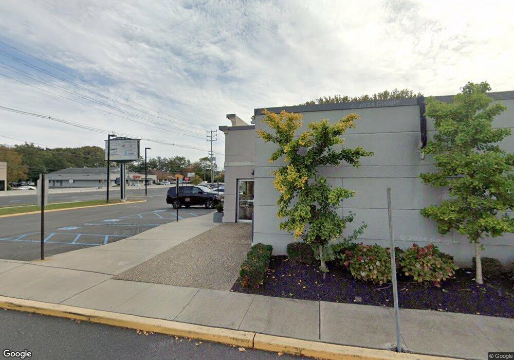
1914 State Route 35 Oakhurst, NJ 07755
Wanamassa NeighborhoodEstimated Value: $1,430,245
--
Bed
--
Bath
6,392
Sq Ft
$224/Sq Ft
Est. Value
About This Home
This home is located at 1914 State Route 35, Oakhurst, NJ 07755 and is currently priced at $1,430,245, approximately $223 per square foot. 1914 State Route 35 is a home located in Monmouth County with nearby schools including Ocean Township High School, Bet Yaakov of the Jersey Shore, and Yeshivat Keter Torah.
Ownership History
Date
Name
Owned For
Owner Type
Purchase Details
Closed on
Aug 19, 2020
Sold by
Amici Realty Llc
Bought by
1914 Realty Llc
Current Estimated Value
Home Financials for this Owner
Home Financials are based on the most recent Mortgage that was taken out on this home.
Original Mortgage
$800,000
Outstanding Balance
$708,333
Interest Rate
2.9%
Mortgage Type
Purchase Money Mortgage
Purchase Details
Closed on
Apr 27, 2015
Sold by
Grilmarc Llc
Bought by
Amici Reality Llc
Home Financials for this Owner
Home Financials are based on the most recent Mortgage that was taken out on this home.
Original Mortgage
$600,000
Interest Rate
3.76%
Mortgage Type
Commercial
Create a Home Valuation Report for This Property
The Home Valuation Report is an in-depth analysis detailing your home's value as well as a comparison with similar homes in the area
Home Values in the Area
Average Home Value in this Area
Purchase History
| Date | Buyer | Sale Price | Title Company |
|---|---|---|---|
| 1914 Realty Llc | $919,848 | Homecoming Ttl & Setmnt Llc | |
| Amici Reality Llc | $861,549 | Attorney |
Source: Public Records
Mortgage History
| Date | Status | Borrower | Loan Amount |
|---|---|---|---|
| Open | 1914 Realty Llc | $800,000 | |
| Previous Owner | Amici Reality Llc | $600,000 |
Source: Public Records
Tax History Compared to Growth
Tax History
| Year | Tax Paid | Tax Assessment Tax Assessment Total Assessment is a certain percentage of the fair market value that is determined by local assessors to be the total taxable value of land and additions on the property. | Land | Improvement |
|---|---|---|---|---|
| 2025 | $17,320 | $1,269,700 | $542,300 | $727,400 |
| 2024 | $18,097 | $1,214,600 | $542,300 | $672,300 |
| 2023 | $18,097 | $1,183,600 | $542,300 | $641,300 |
| 2022 | $21,941 | $1,183,600 | $542,300 | $641,300 |
| 2021 | $21,941 | $1,116,600 | $542,300 | $574,300 |
| 2020 | $22,232 | $1,116,600 | $542,300 | $574,300 |
| 2019 | $21,748 | $1,066,600 | $542,300 | $524,300 |
| 2018 | $21,903 | $1,046,000 | $542,300 | $503,700 |
| 2017 | $22,624 | $1,075,800 | $542,300 | $533,500 |
| 2016 | $24,271 | $1,038,100 | $634,600 | $403,500 |
| 2015 | $23,970 | $1,038,100 | $634,600 | $403,500 |
| 2014 | $23,648 | $1,038,100 | $634,600 | $403,500 |
Source: Public Records
Map
Nearby Homes
- 710 Dow Ave
- 1903 Melville St
- 6 Lotus Ct
- 55 Cotswold Cir
- 1904 Waverly St
- 4 Rothbury Ct
- 709 Talmadge Ave
- 116 Cotswold Cir
- 130 Woolley Ct
- 30 Oak Mews Ct Unit 4
- 2025 Lesser Pkwy
- 46 Fredric Dr
- 39 Gimbel Place
- 1630-1636 Poplar Rd
- 123 Woolley Ct
- 18 Branch Rd
- 179 Woolley Ct
- 48 Old Orchard Ln Unit 1103
- 149 Jefferson Dr
- 155 Jefferson Dr
- 1910 State Route 35 Unit 1
- 1912 State Route 35
- 1915 New Jersey 35
- 1907 Highway 35
- 2001 Bellmore St
- 2005 Bellmore St
- 2005 State 35
- 780 W Park Ave
- 780 W Park Ave Unit 5
- 811 W Park Ave
- 802 W Park Ave Unit 301
- 802 W Park Ave Unit 230
- 802 W Park Ave Unit 222
- 802 W Park Ave Unit 221
- 802 W Park Ave Unit 213
- 802 W Park Ave Unit 201
- 815 W Park Ave
- 718 Carol Ave
- 2008 Melville St
- 804 W Park Ave Unit C1