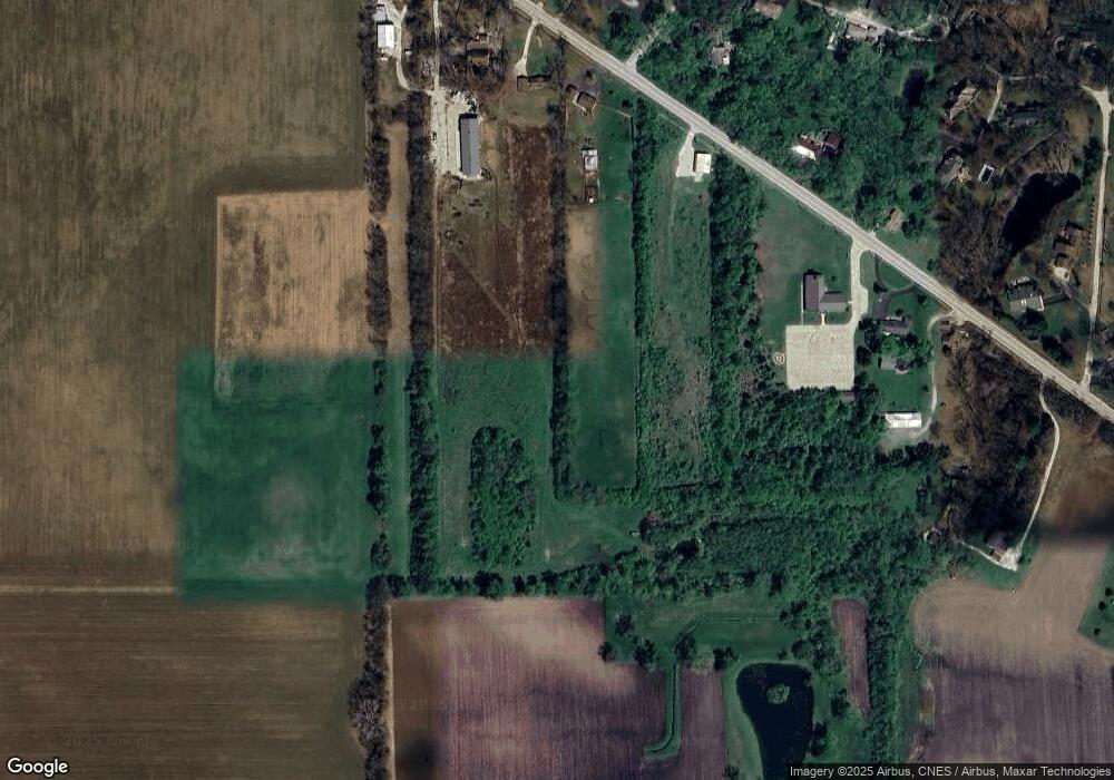
1914 W State Route 113 Kankakee, IL 60901
Estimated Value: $406,000
Studio
--
Bath
--
Sq Ft
718,740
Sq Ft Lot
About This Home
This home is located at 1914 W State Route 113, Kankakee, IL 60901 and is currently priced at $406,000. 1914 W State Route 113 is a home located in Kankakee County with nearby schools including Herscher High School, Kankakee Trinity Academy, and L W C Academy.
Ownership History
Date
Name
Owned For
Owner Type
Purchase Details
Closed on
Aug 11, 2023
Sold by
Bell Steven D and Bell Julie A
Bought by
Municipal Trust
Current Estimated Value
Purchase Details
Closed on
Jun 24, 2015
Sold by
State Bk Of Herscher
Bought by
Bell Julie A and Bell Steven D
Home Financials for this Owner
Home Financials are based on the most recent Mortgage that was taken out on this home.
Original Mortgage
$127,500
Interest Rate
4.25%
Mortgage Type
New Conventional
Create a Home Valuation Report for This Property
The Home Valuation Report is an in-depth analysis detailing your home's value as well as a comparison with similar homes in the area
Purchase History
| Date | Buyer | Sale Price | Title Company |
|---|---|---|---|
| Municipal Trust | -- | None Listed On Document | |
| Bell Julie A | $170,000 | Kankakee Cnty Title & Tr |
Source: Public Records
Mortgage History
| Date | Status | Borrower | Loan Amount |
|---|---|---|---|
| Previous Owner | Bell Julie A | $127,500 |
Source: Public Records
Tax History
| Year | Tax Paid | Tax Assessment Tax Assessment Total Assessment is a certain percentage of the fair market value that is determined by local assessors to be the total taxable value of land and additions on the property. | Land | Improvement |
|---|---|---|---|---|
| 2023 | $10,290 | $136,811 | $7,674 | $129,137 |
| 2022 | $10,146 | $131,527 | $6,898 | $124,629 |
| 2021 | $4,586 | $57,804 | $6,298 | $51,506 |
| 2020 | $2,899 | $36,064 | $5,835 | $30,229 |
| 2019 | $2,838 | $35,127 | $5,413 | $29,714 |
| 2018 | $2,775 | $34,313 | $5,034 | $29,279 |
| 2017 | $2,735 | $33,537 | $4,686 | $28,851 |
| 2016 | $2,662 | $32,417 | $4,330 | $28,087 |
| 2015 | $2,477 | $31,416 | $4,007 | $27,409 |
| 2014 | $1,956 | $31,242 | $3,833 | $27,409 |
| 2013 | -- | $31,165 | $3,756 | $27,409 |
Source: Public Records
Map
Nearby Homes
- 1617 Waterford Place
- 1850 N Stone Creek Rd
- 1785 Indian Trail
- 1520 Southhampton Dr
- 549 Beach Ave
- 1905 Indian Trail
- 2829 Chippewa Dr
- 1917 Indian Trail
- 284 Barrington Ln
- 310 Barrington Dr
- 1418 Indian Trail
- 1416 Indian Trail
- 1402 Indian Trail
- 1420 Indian Trail
- 1414 Indian Trail
- 1412 Indian Trail
- 1268 Deer Path
- 2008 Indian Trail
- 1404 Indian Trail
- 2777 Stonefence Dr
- 1914 W State Route 113
- 1926 W State Route 113 Unit A
- 1926A W State Route 113
- 1882 W State Route 113
- 1917 W State Route 113
- 1925 W State Route 113
- 2016 N 1870w Rd
- 1939 W State Route 113
- 1994 W State Route 113
- 1965 Il-113
- 1965 W State Route 113
- 1965 Illinois 113
- 2019 N 1870w Rd
- 1836 W State Route 113
- 2014 W Potawatamie Trail
- 1928 W Potawatamie Trail
- 1973 W State Route 113
- 1892 W Potawatamie Trail
- 1969 W Potawatomie Trail
- 1865 W Potawatamie Trail
Your Personal Tour Guide
Ask me questions while you tour the home.