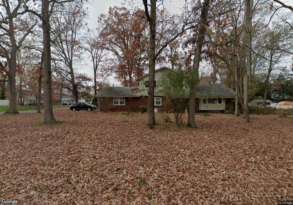
1914 Wynnewood Dr Vineland, NJ 08361
Estimated Value: $308,219 - $454,000
--
Bed
--
Bath
1,987
Sq Ft
$197/Sq Ft
Est. Value
About This Home
This home is located at 1914 Wynnewood Dr, Vineland, NJ 08361 and is currently estimated at $391,805, approximately $197 per square foot. 1914 Wynnewood Dr is a home located in Cumberland County with nearby schools including Pauline J. Petway Elementary School, Anthony Rossi Elementary School, and Vineland Senior High School.
Ownership History
Date
Name
Owned For
Owner Type
Purchase Details
Closed on
Aug 22, 1997
Sold by
Hampton Margaret
Bought by
Divivacchino Douglas
Current Estimated Value
Home Financials for this Owner
Home Financials are based on the most recent Mortgage that was taken out on this home.
Original Mortgage
$107,000
Outstanding Balance
$15,855
Interest Rate
7.41%
Estimated Equity
$375,950
Create a Home Valuation Report for This Property
The Home Valuation Report is an in-depth analysis detailing your home's value as well as a comparison with similar homes in the area
Home Values in the Area
Average Home Value in this Area
Purchase History
| Date | Buyer | Sale Price | Title Company |
|---|---|---|---|
| Divivacchino Douglas | $113,000 | -- |
Source: Public Records
Mortgage History
| Date | Status | Borrower | Loan Amount |
|---|---|---|---|
| Open | Divivacchino Douglas | $107,000 |
Source: Public Records
Tax History Compared to Growth
Tax History
| Year | Tax Paid | Tax Assessment Tax Assessment Total Assessment is a certain percentage of the fair market value that is determined by local assessors to be the total taxable value of land and additions on the property. | Land | Improvement |
|---|---|---|---|---|
| 2025 | $5,945 | $186,700 | $40,800 | $145,900 |
| 2024 | $5,945 | $186,700 | $40,800 | $145,900 |
| 2023 | $5,905 | $186,700 | $40,800 | $145,900 |
| 2022 | $5,730 | $186,700 | $40,800 | $145,900 |
| 2021 | $5,625 | $186,700 | $40,800 | $145,900 |
| 2020 | $5,465 | $186,700 | $40,800 | $145,900 |
| 2019 | $5,390 | $186,700 | $40,800 | $145,900 |
| 2018 | $5,248 | $186,700 | $40,800 | $145,900 |
| 2017 | $4,985 | $186,700 | $40,800 | $145,900 |
| 2016 | $4,809 | $186,700 | $40,800 | $145,900 |
| 2015 | $4,632 | $186,700 | $40,800 | $145,900 |
| 2014 | $4,380 | $186,700 | $40,800 | $145,900 |
Source: Public Records
Map
Nearby Homes
- 1880 S Brookfield St
- 2151 S Brookfield St
- 1535 Bear Branch Ct
- 3391 Venturi Ln
- 2851 Crane St
- 2769 Dante Ave
- 2564 Edna Dr
- 2551 Edna Dr
- 1730 Junior Dr
- 2354 Dante Ave
- 1197 S Lincoln Ave
- 1319 Paterson Dr
- 2603 Valhalla Rd
- 2676 Medina St
- 2270 Gettysburg Dr
- 1154 Mcclain Dr
- 3176 Hance Bridge Rd
- 1550 S Lincoln Ave
- 3773 Brookhaven Dr
- 1248 Kirkwood Dr
- 1882 Wynnewood Dr
- 2947 Driftwood Ln
- 1950 Wynnewood Dr
- 1921 Wynnewood Dr
- 2926 Barry Dr
- 1903 Wynnewood Dr
- 2945 Barry Dr
- 1941 Wynnewood Dr
- 1875 Wynnewood Dr
- 2927 Driftwood Ln
- 2925 Barry Dr
- 2908 Barry Dr
- 1959 Wynnewood Dr
- 2966 Driftwood Ln
- 2968 Dante Ave
- 2909 Driftwood Ln
- 2950 Dante Ave
- 2938 Driftwood Ln
- 2907 Barry Dr
- 1985 Wynnewood Dr