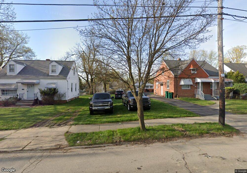
19140 Raymond St Maple Heights, OH 44137
Estimated Value: $152,640
3
Beds
1
Bath
1,072
Sq Ft
$142/Sq Ft
Est. Value
About This Home
This home is located at 19140 Raymond St, Maple Heights, OH 44137 and is currently estimated at $152,640, approximately $142 per square foot. 19140 Raymond St is a home located in Cuyahoga County with nearby schools including Abraham Lincoln Elementary School, Rockside/ J.F. Kennedy School, and Italy High School.
Ownership History
Date
Name
Owned For
Owner Type
Purchase Details
Closed on
Jun 1, 2021
Sold by
Sheriff Of Cuyahoga County
Bought by
Fox And Mysin Investments Llc
Current Estimated Value
Purchase Details
Closed on
Jul 5, 2011
Sold by
Money Line Mortgage Llc
Bought by
Fox & Mysin Investments Llc
Purchase Details
Closed on
Jun 30, 2010
Sold by
U S Bank National Association
Bought by
Money Line Mortgage Llc
Purchase Details
Closed on
Nov 23, 2009
Sold by
Schaefer Jonathan
Bought by
Us Bank National Association
Purchase Details
Closed on
Apr 8, 2004
Sold by
Schaefer Jonathan and Schaefer Jami
Bought by
Six Guys Llc
Home Financials for this Owner
Home Financials are based on the most recent Mortgage that was taken out on this home.
Original Mortgage
$69,200
Interest Rate
5.65%
Mortgage Type
Purchase Money Mortgage
Purchase Details
Closed on
Mar 24, 2004
Sold by
Creo Ventures Ltd
Bought by
Schaefer Jonathan
Home Financials for this Owner
Home Financials are based on the most recent Mortgage that was taken out on this home.
Original Mortgage
$69,200
Interest Rate
5.65%
Mortgage Type
Purchase Money Mortgage
Purchase Details
Closed on
Nov 7, 2002
Sold by
Citifinancial Mtg Company Inc
Bought by
Creo Ventures Ltd
Purchase Details
Closed on
Apr 15, 2002
Sold by
Smith Diane and Smith Diane L
Bought by
Citifinancial Mtg Company Inc
Purchase Details
Closed on
Jan 29, 1998
Sold by
Max Cap Development Inc
Bought by
Smith Diane and Smith Diane L
Home Financials for this Owner
Home Financials are based on the most recent Mortgage that was taken out on this home.
Original Mortgage
$55,217
Interest Rate
7.16%
Purchase Details
Closed on
Jan 27, 1998
Sold by
Bankers Trust Company Of California Na
Bought by
Max Cap Development Inc
Home Financials for this Owner
Home Financials are based on the most recent Mortgage that was taken out on this home.
Original Mortgage
$55,217
Interest Rate
7.16%
Purchase Details
Closed on
Sep 3, 1997
Sold by
Murphy Raymond
Bought by
Bankers Trust Company Of California Na
Purchase Details
Closed on
Jan 1, 1975
Bought by
Sandra Black Murphy
Create a Home Valuation Report for This Property
The Home Valuation Report is an in-depth analysis detailing your home's value as well as a comparison with similar homes in the area
Home Values in the Area
Average Home Value in this Area
Purchase History
| Date | Buyer | Sale Price | Title Company |
|---|---|---|---|
| Fox And Mysin Investments Llc | $39,252 | New Title Company Name | |
| Fox & Mysin Investments Llc | $1,000 | North American | |
| Money Line Mortgage Llc | $1,000 | N American Title | |
| Us Bank National Association | $9,996 | Attorney | |
| Six Guys Llc | -- | Anthem Title | |
| Schaefer Jonathan | $86,500 | Anthem Title | |
| Creo Ventures Ltd | $45,000 | -- | |
| Citifinancial Mtg Company Inc | -- | Midland Title Security Inc | |
| Smith Diane | $62,700 | -- | |
| Max Cap Development Inc | $37,000 | Midland Title Security Inc | |
| Bankers Trust Company Of California Na | $36,667 | -- | |
| Sandra Black Murphy | -- | -- |
Source: Public Records
Mortgage History
| Date | Status | Borrower | Loan Amount |
|---|---|---|---|
| Previous Owner | Schaefer Jonathan | $69,200 | |
| Previous Owner | Smith Diane | $55,217 | |
| Closed | Schaefer Jonathan | $17,300 |
Source: Public Records
Tax History Compared to Growth
Tax History
| Year | Tax Paid | Tax Assessment Tax Assessment Total Assessment is a certain percentage of the fair market value that is determined by local assessors to be the total taxable value of land and additions on the property. | Land | Improvement |
|---|---|---|---|---|
| 2024 | -- | $700 | $700 | -- |
| 2022 | $132 | $3,885 | $3,885 | $0 |
| 2021 | $132 | $3,890 | $3,890 | $0 |
| 2020 | $132 | $2,940 | $2,940 | $0 |
| 2019 | $1,101 | $8,400 | $8,400 | $0 |
| 2018 | $722 | $2,940 | $2,940 | $0 |
| 2017 | $1,096 | $2,730 | $2,730 | $0 |
| 2016 | $16,553 | $2,730 | $2,730 | $0 |
| 2015 | $14,260 | $2,730 | $2,730 | $0 |
| 2014 | $14,260 | $3,010 | $3,010 | $0 |
Source: Public Records
Map
Nearby Homes
- 19309 Nitra Ave
- 5165 Camden Rd
- 19520 Maple Heights Blvd
- 5265 Bellview St
- 19807 Gardenview Dr
- 20120 Mccracken Rd
- 5234 Erwin St
- 19806 Mountville Dr
- 5199 Arch St
- 19221 Stafford Ave
- 18909 Maple Heights Blvd
- 5031 Cato St
- 5239 Arch St
- 19289 Stafford Ave
- 5357 Beechwood Ave
- 19812 Stockton Ave
- 20107 Libby Rd
- 5409 Hollywood Ave
- 5061 Philip Ave
- 20510 Mountville Dr
- 19120 Raymond St
- 19160 Raymond St
- 19100 Raymond St
- 19180 Raymond St
- 19080 Raymond St
- 19105 Nitra Ave
- 19109 Nitra Ave
- 19101 Nitra Ave
- 19111 Nitra Ave
- 19017 Nitra Ave
- 19060 Raymond St
- 19141 Raymond St
- 19200 Raymond St
- 19121 Raymond St
- 19161 Raymond St
- 19013 Nitra Ave
- 19101 Raymond St
- 19181 Raymond St
- 19040 Raymond St
- 19081 Raymond St