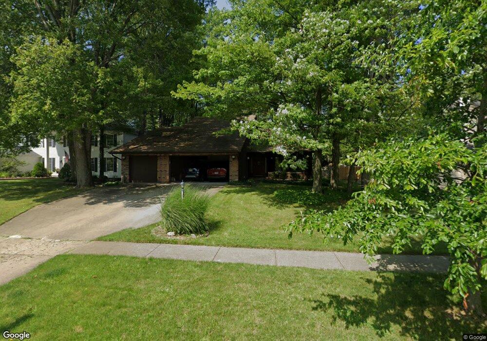
19146 Misty Lake Dr Strongsville, OH 44136
Estimated Value: $337,000 - $451,000
4
Beds
3
Baths
2,950
Sq Ft
$131/Sq Ft
Est. Value
About This Home
This home is located at 19146 Misty Lake Dr, Strongsville, OH 44136 and is currently estimated at $387,543, approximately $131 per square foot. 19146 Misty Lake Dr is a home located in Cuyahoga County with nearby schools including Strongsville High School and Saint Ambrose Catholic School.
Ownership History
Date
Name
Owned For
Owner Type
Purchase Details
Closed on
Jul 24, 1990
Sold by
Gilmore John E
Bought by
Kulin Csaba G
Current Estimated Value
Purchase Details
Closed on
Jun 24, 1987
Sold by
Henderson Jack Lee
Bought by
Gilmore John E
Purchase Details
Closed on
Sep 20, 1984
Sold by
Kaiser Kenneth R
Bought by
Jensen Alfred C
Purchase Details
Closed on
Nov 17, 1983
Sold by
Mrdjenovich Robert
Bought by
Kaiser Kenneth R
Purchase Details
Closed on
Nov 8, 1979
Bought by
Mrdjenovich Robert
Purchase Details
Closed on
May 17, 1979
Bought by
Whitewood Homes Inc
Purchase Details
Closed on
Jul 24, 1978
Bought by
S & S Enterprises Co Ltd
Purchase Details
Closed on
Jan 1, 1978
Bought by
Northeast Land Co
Create a Home Valuation Report for This Property
The Home Valuation Report is an in-depth analysis detailing your home's value as well as a comparison with similar homes in the area
Home Values in the Area
Average Home Value in this Area
Purchase History
| Date | Buyer | Sale Price | Title Company |
|---|---|---|---|
| Kulin Csaba G | $141,000 | -- | |
| Gilmore John E | $128,700 | -- | |
| Henderson Jack Lee | -- | -- | |
| Jensen Alfred C | $122,000 | -- | |
| Kaiser Kenneth R | $118,500 | -- | |
| Mrdjenovich Robert | $118,000 | -- | |
| Whitewood Homes Inc | -- | -- | |
| S & S Enterprises Co Ltd | $21,500 | -- | |
| Northeast Land Co | -- | -- |
Source: Public Records
Tax History Compared to Growth
Tax History
| Year | Tax Paid | Tax Assessment Tax Assessment Total Assessment is a certain percentage of the fair market value that is determined by local assessors to be the total taxable value of land and additions on the property. | Land | Improvement |
|---|---|---|---|---|
| 2024 | $3,382 | $70,350 | $20,510 | $49,840 |
| 2023 | $4,986 | $77,950 | $15,300 | $62,650 |
| 2022 | $4,951 | $77,950 | $15,300 | $62,650 |
| 2021 | $4,916 | $77,950 | $15,300 | $62,650 |
| 2020 | $4,553 | $63,880 | $12,530 | $51,350 |
| 2019 | $4,822 | $199,000 | $35,800 | $163,200 |
| 2018 | $4,387 | $69,650 | $12,530 | $57,120 |
| 2017 | $4,206 | $61,820 | $13,480 | $48,340 |
| 2016 | $4,173 | $61,820 | $13,480 | $48,340 |
| 2015 | $4,233 | $61,820 | $13,480 | $48,340 |
| 2014 | $4,233 | $61,820 | $13,480 | $48,340 |
Source: Public Records
Map
Nearby Homes
- 16711 Beech Cir
- 17745 Brick Mill Run
- 19364 Ridgeline Ct
- 16486 S Red Rock Dr
- 18229 Howe Rd
- 15772 Boston Rd
- 17130 Golden Star Dr
- 15604-REAR Boston Rd
- 97 Weathervane Ln
- 19694 Benbow Rd
- 19740 Benbow Rd
- 17159 Turkey Meadow Ln
- 18411 Yorktown Oval
- 17682 Drake Rd
- 15188 Trails Landing
- 14985 Camden Cir
- 159 Sunflower Dr
- 17934 Cambridge Oval
- 18987 Laurell Cir
- 18294 Drake Rd
- 19114 Misty Lake Dr
- 19178 Misty Lake Dr
- 19082 Misty Lake Dr
- 19210 Misty Lake Dr
- 19165 Misty Lake Dr
- 19171 Westfield Ln
- 19101 Misty Lake Dr
- 19050 Misty Lake Dr
- 19123 Westfield Ln
- 19242 Misty Lake Dr
- 19197 Misty Lake Dr
- 19219 Westfield Ln
- 19075 Westfield Ln
- 19069 Misty Lake Dr
- 16753 Beech Cir
- 19233 Misty Lake Dr
- 19018 Misty Lake Dr
- 16760 Beech Cir
- 19306 Misty Lake Dr
- 19267 Westfield Ln