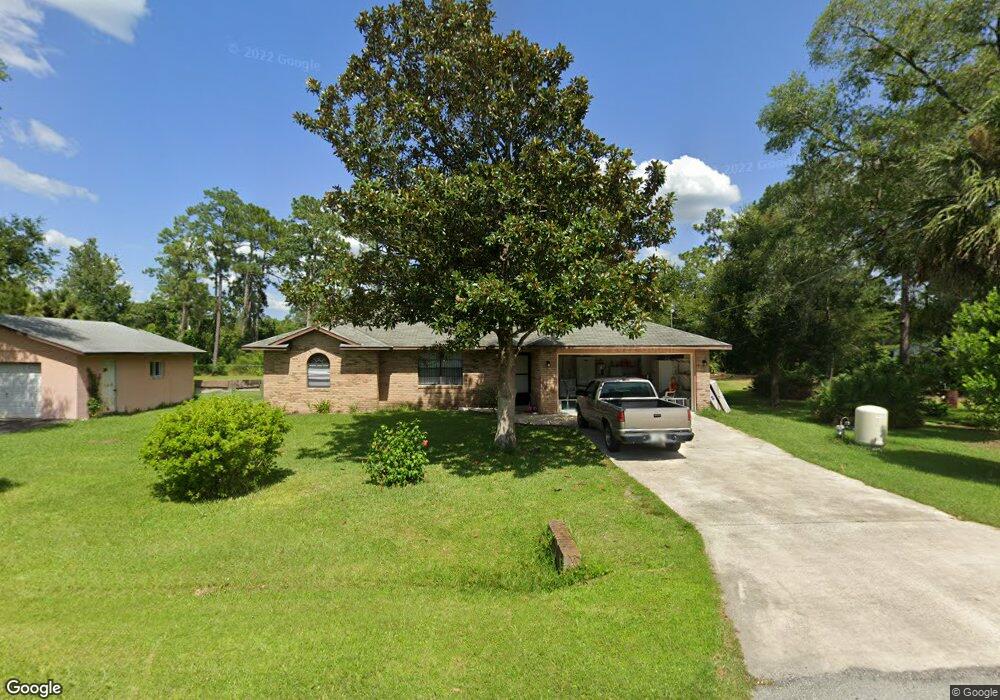
1915 2nd Ave Deland, FL 32724
Estimated Value: $261,000 - $312,000
3
Beds
2
Baths
1,354
Sq Ft
$209/Sq Ft
Est. Value
About This Home
This home is located at 1915 2nd Ave, Deland, FL 32724 and is currently estimated at $282,463, approximately $208 per square foot. 1915 2nd Ave is a home located in Volusia County with nearby schools including Deland High School, George W. Marks Elementary School, and Deland Middle School.
Ownership History
Date
Name
Owned For
Owner Type
Purchase Details
Closed on
Jan 14, 2025
Sold by
Darrow Patrick and Ramsey Sarah
Bought by
Darrow Patrick and Ramsey Sarah
Current Estimated Value
Purchase Details
Closed on
Nov 7, 2016
Sold by
Starr James
Bought by
Darrow Patrick and Ramsey Sarah
Home Financials for this Owner
Home Financials are based on the most recent Mortgage that was taken out on this home.
Original Mortgage
$68,200
Interest Rate
3.48%
Mortgage Type
New Conventional
Purchase Details
Closed on
Oct 1, 2015
Sold by
Starr James C and Starr Thelma R
Bought by
Starr James S
Purchase Details
Closed on
Nov 15, 1988
Bought by
Starr James C
Create a Home Valuation Report for This Property
The Home Valuation Report is an in-depth analysis detailing your home's value as well as a comparison with similar homes in the area
Home Values in the Area
Average Home Value in this Area
Purchase History
| Date | Buyer | Sale Price | Title Company |
|---|---|---|---|
| Darrow Patrick | $100 | None Listed On Document | |
| Darrow Patrick | $100 | None Listed On Document | |
| Darrow Patrick | $147,000 | None Available | |
| Starr James S | -- | Attorney | |
| Starr James C | $52,800 | -- | |
| Starr James C | $100 | -- | |
| Starr James C | $5,300 | -- |
Source: Public Records
Mortgage History
| Date | Status | Borrower | Loan Amount |
|---|---|---|---|
| Previous Owner | Darrow Patrick | $68,200 |
Source: Public Records
Tax History Compared to Growth
Tax History
| Year | Tax Paid | Tax Assessment Tax Assessment Total Assessment is a certain percentage of the fair market value that is determined by local assessors to be the total taxable value of land and additions on the property. | Land | Improvement |
|---|---|---|---|---|
| 2025 | $1,940 | $139,149 | -- | -- |
| 2024 | $1,940 | $135,228 | -- | -- |
| 2023 | $1,940 | $131,290 | $0 | $0 |
| 2022 | $1,883 | $127,466 | $0 | $0 |
| 2021 | $1,933 | $123,753 | $0 | $0 |
| 2020 | $1,899 | $122,044 | $0 | $0 |
| 2019 | $1,943 | $119,300 | $0 | $0 |
| 2018 | $1,923 | $117,076 | $0 | $0 |
| 2017 | $1,904 | $114,668 | $6,750 | $107,918 |
| 2016 | $557 | $61,806 | $0 | $0 |
| 2015 | $574 | $61,376 | $0 | $0 |
| 2014 | $582 | $60,889 | $0 | $0 |
Source: Public Records
Map
Nearby Homes
- 1965 2nd Ave
- 1972 3rd Ave
- 2030 1st Ave
- 2051 3rd Ave
- 1875 2nd Ave
- Drexel Plan at Andover Ridge
- Magnolia Plan at Andover Ridge
- Lancaster Plan at Andover Ridge
- Miramar Plan at Andover Ridge
- Vista Plan at Andover Ridge
- 1976 5th Ave
- 1948 6th Ave
- 2000 6th Ave
- 1465 5th Ave
- 0 5th Ave Unit MFRV4940662
- 904 Azalea Walk Cir
- 2355 Cypress Rd
- 0 2nd Ave Unit MFRA4571881
- 1785 6th Ave
- 2008 Central Pkwy