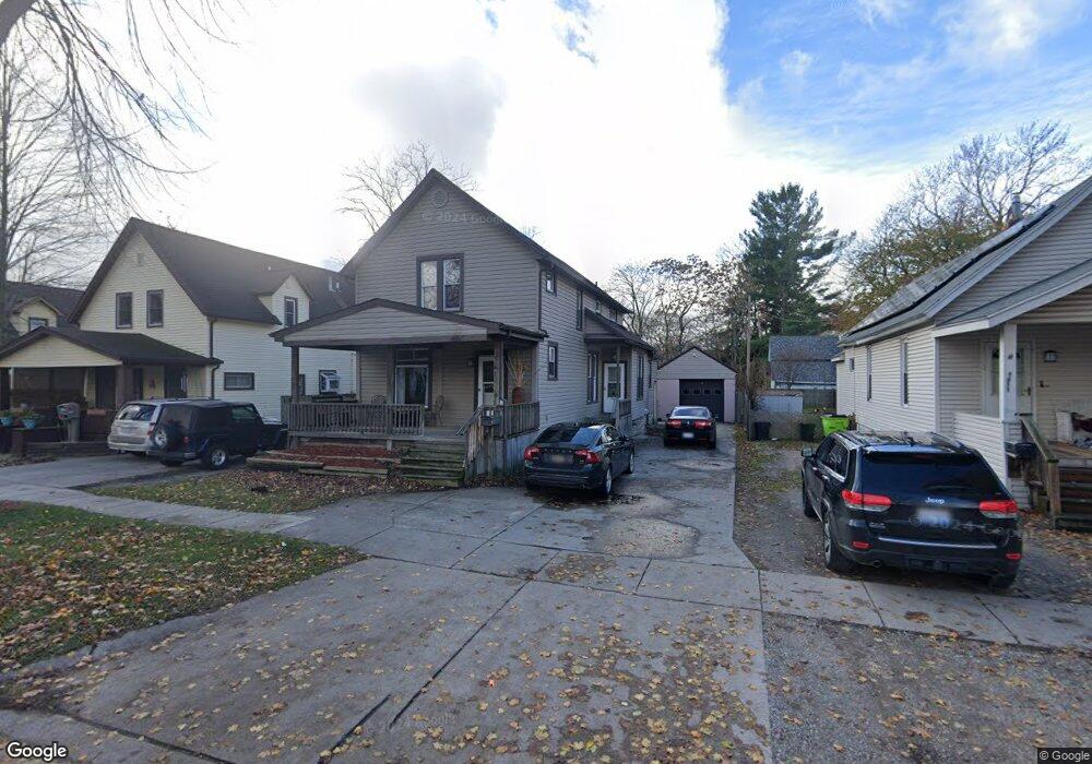
1915 7th St Port Huron, MI 48060
Estimated Value: $139,000 - $158,000
3
Beds
1
Bath
1,896
Sq Ft
$79/Sq Ft
Est. Value
About This Home
This home is located at 1915 7th St, Port Huron, MI 48060 and is currently estimated at $148,849, approximately $78 per square foot. 1915 7th St is a home located in St. Clair County with nearby schools including Woodrow Wilson Elementary School, Central Middle School, and Port Huron High School.
Ownership History
Date
Name
Owned For
Owner Type
Purchase Details
Closed on
Oct 15, 2020
Sold by
Futurvest Llc
Bought by
Werthman Holdings Llc
Current Estimated Value
Purchase Details
Closed on
Feb 27, 2009
Sold by
Federal National Mortgage Association
Bought by
Futurvest Llc
Purchase Details
Closed on
Jul 26, 2007
Sold by
Sanchez Annette J
Bought by
Mortgage Electronic Registration Systems
Purchase Details
Closed on
Jul 20, 2006
Sold by
Lessard James R and Lessard Kim A
Bought by
Sanchez Annette
Home Financials for this Owner
Home Financials are based on the most recent Mortgage that was taken out on this home.
Original Mortgage
$103,500
Interest Rate
6.73%
Mortgage Type
New Conventional
Create a Home Valuation Report for This Property
The Home Valuation Report is an in-depth analysis detailing your home's value as well as a comparison with similar homes in the area
Home Values in the Area
Average Home Value in this Area
Purchase History
| Date | Buyer | Sale Price | Title Company |
|---|---|---|---|
| Werthman Holdings Llc | $172,700 | Liberty Title | |
| Werthman Holdings Llc | $172,700 | Liberty Title | |
| Futurvest Llc | $24,000 | None Available | |
| Mortgage Electronic Registration Systems | $111,260 | None Available | |
| Sanchez Annette | $103,500 | None Available |
Source: Public Records
Mortgage History
| Date | Status | Borrower | Loan Amount |
|---|---|---|---|
| Previous Owner | Sanchez Annette | $103,500 |
Source: Public Records
Tax History Compared to Growth
Tax History
| Year | Tax Paid | Tax Assessment Tax Assessment Total Assessment is a certain percentage of the fair market value that is determined by local assessors to be the total taxable value of land and additions on the property. | Land | Improvement |
|---|---|---|---|---|
| 2025 | $3,195 | $66,500 | $0 | $0 |
| 2024 | $2,854 | $62,900 | $0 | $0 |
| 2023 | $2,702 | $54,000 | $0 | $0 |
| 2022 | $2,763 | $45,000 | $0 | $0 |
| 2021 | $2,594 | $42,200 | $0 | $0 |
| 2020 | $1,712 | $37,200 | $37,200 | $0 |
| 2019 | $1,681 | $26,400 | $0 | $0 |
| 2018 | $1,644 | $26,400 | $0 | $0 |
| 2017 | $1,509 | $24,900 | $0 | $0 |
| 2016 | $1,341 | $24,900 | $0 | $0 |
| 2015 | $1,406 | $24,900 | $24,900 | $0 |
| 2014 | $1,406 | $26,100 | $26,100 | $0 |
| 2013 | -- | $28,800 | $0 | $0 |
Source: Public Records
Map
Nearby Homes
- 731 Bancroft St
- 738 Bancroft St
- 831 Bancroft St
- 730 Jenkinson St
- 2109 Military St
- 1712 7th St
- 1623 8th St
- 620 Griswold St
- 926 Griswold St
- 1831 11th St
- 1112 Minnie St
- 1127 Minnie St
- 000 10th St
- 1132 Griswold St
- 1103 White St
- 2444 Military St
- 1309 Division St
- 1322 Division St
- 1207 White St
- 1325 Division St