1915 Bethlehem Rd NE New Salisbury, IN 47161
Estimated Value: $204,000 - $259,000
3
Beds
2
Baths
1,539
Sq Ft
$143/Sq Ft
Est. Value
About This Home
This home is located at 1915 Bethlehem Rd NE, New Salisbury, IN 47161 and is currently estimated at $220,531, approximately $143 per square foot. 1915 Bethlehem Rd NE is a home with nearby schools including North Harrison High School.
Ownership History
Date
Name
Owned For
Owner Type
Purchase Details
Closed on
Sep 8, 2020
Sold by
Rw Properties Llc
Bought by
Roma Pease
Current Estimated Value
Home Financials for this Owner
Home Financials are based on the most recent Mortgage that was taken out on this home.
Interest Rate
2.93%
Purchase Details
Closed on
Aug 3, 2020
Sold by
Sheriff Indiana
Bought by
Rw Properties Llc
Home Financials for this Owner
Home Financials are based on the most recent Mortgage that was taken out on this home.
Interest Rate
2.93%
Create a Home Valuation Report for This Property
The Home Valuation Report is an in-depth analysis detailing your home's value as well as a comparison with similar homes in the area
Home Values in the Area
Average Home Value in this Area
Purchase History
| Date | Buyer | Sale Price | Title Company |
|---|---|---|---|
| Roma Pease | $74,600 | -- | |
| Roma Pease | $74,600 | -- | |
| Rw Properties Llc | $68,000 | -- |
Source: Public Records
Mortgage History
| Date | Status | Borrower | Loan Amount |
|---|---|---|---|
| Closed | Roma Pease | -- |
Source: Public Records
Tax History Compared to Growth
Tax History
| Year | Tax Paid | Tax Assessment Tax Assessment Total Assessment is a certain percentage of the fair market value that is determined by local assessors to be the total taxable value of land and additions on the property. | Land | Improvement |
|---|---|---|---|---|
| 2024 | $1,565 | $130,300 | $42,700 | $87,600 |
| 2023 | $634 | $127,800 | $42,100 | $85,700 |
| 2022 | $624 | $122,100 | $36,600 | $85,500 |
| 2021 | $486 | $103,800 | $22,600 | $81,200 |
| 2020 | $465 | $99,600 | $19,800 | $79,800 |
| 2019 | $432 | $0 | $0 | $0 |
| 2018 | $441 | $97,200 | $19,800 | $77,400 |
| 2017 | $428 | $98,100 | $19,800 | $78,300 |
| 2016 | $418 | $102,300 | $19,800 | $82,500 |
| 2014 | $364 | $98,700 | $18,500 | $80,200 |
| 2013 | $364 | $96,900 | $18,500 | $78,400 |
Source: Public Records
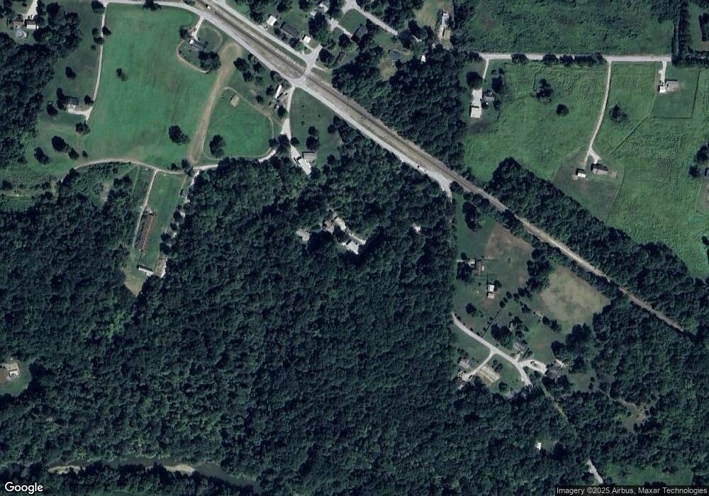
Map
Nearby Homes
- 7045 Corydon Junction Rd NE
- 1414 Deer Ridge Way NE
- 974 Pinewood Trail NE
- 0 Hwy 135 Unit Tract 3 2025011288
- 0 Hwy 135 Unit Tract 2 2025011289
- 0 Lost Creek Rd NE
- 8136 Wagner Ave NE
- 8158 Wagner Ave NE
- 8171 Wagner Ave NE Unit 55
- 8160 Schmidt Ln NE Unit 404
- 8162 Timber Ln NE Unit 403
- 8186 Timber Ln NE Unit 401
- The Savannah Plan at Kepley Fields
- The Samantha Plan at Kepley Fields - Kepley Meadows
- The Savannah Plan at Kepley Fields - Kepley Meadows
- The Addy Rae Plan at Kepley Fields
- The Tristin Plan at Kepley Fields
- The Emmett Plan at Kepley Fields
- The Calloway Plan at Kepley Fields
- The Whitney Plan at Kepley Fields
- 1905 Bethlehem Rd NE
- 1979 Bethlehem Rd NE
- 1795 Bethlehem Rd NE
- 2030 Bethlehem Rd NE
- 2085 Bethlehem Rd NE
- 2050 Bethlehem Rd NE
- 1765 Bethlehem Rd NE
- 6750 Oak Park Rd NE
- 2045 Motts Rd NE
- 1975 Motts Rd NE
- 6760 Oak Park Rd
- 2055 Bethlehem Rd NE
- 1718 Melton Ave NE
- 1980 Motts Rd NE
- 2060 Bethlehem Rd NE
- 6735 Oak Park Rd NE
- 1750 Melton Ave NE
- 1880 Motts Rd NE
- 1850 Motts Rd NE
- 1675 Bethlehem Rd NE