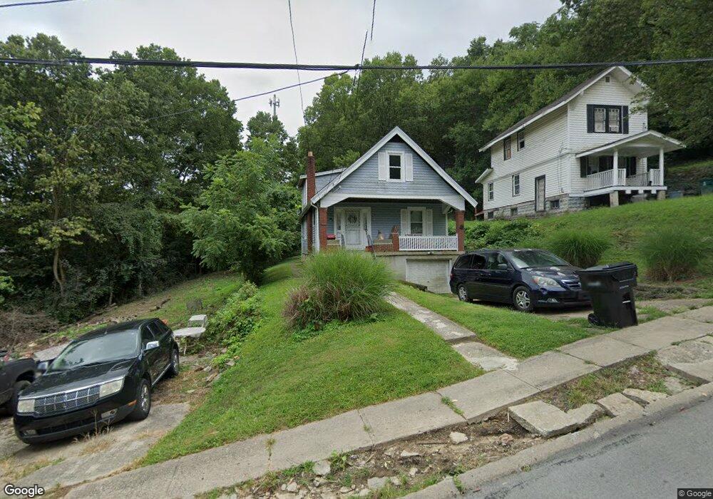
1915 Brinkmeier Ave Cincinnati, OH 45225
North Fairmount NeighborhoodEstimated Value: $87,000 - $200,000
3
Beds
1
Bath
1,243
Sq Ft
$105/Sq Ft
Est. Value
About This Home
This home is located at 1915 Brinkmeier Ave, Cincinnati, OH 45225 and is currently estimated at $130,074, approximately $104 per square foot. 1915 Brinkmeier Ave is a home located in Hamilton County with nearby schools including Robert A. Taft Information Technology High School, Western Hills High School, and Gilbert A. Dater High School.
Ownership History
Date
Name
Owned For
Owner Type
Purchase Details
Closed on
Dec 2, 2022
Sold by
Ramsey Martia
Bought by
Ramsey Martia
Current Estimated Value
Purchase Details
Closed on
Sep 19, 2022
Sold by
Marcus Fosten Mdd Film Productions Llc
Bought by
Martia Ramey Loylty Faith Llc
Purchase Details
Closed on
Mar 16, 2018
Sold by
Ripley Juanita
Bought by
Mdd Film Production Llc
Purchase Details
Closed on
Feb 4, 2010
Sold by
Mullins Craig
Bought by
Ripley Juanita
Purchase Details
Closed on
May 7, 2009
Sold by
Harris Darryl L
Bought by
Mullins Craig
Create a Home Valuation Report for This Property
The Home Valuation Report is an in-depth analysis detailing your home's value as well as a comparison with similar homes in the area
Home Values in the Area
Average Home Value in this Area
Purchase History
| Date | Buyer | Sale Price | Title Company |
|---|---|---|---|
| Ramsey Martia | -- | -- | |
| Martia Ramey Loylty Faith Llc | -- | -- | |
| Mdd Film Production Llc | $11,000 | None Available | |
| Ripley Juanita | -- | Attorney | |
| Mullins Craig | $18,000 | Attorney |
Source: Public Records
Tax History Compared to Growth
Tax History
| Year | Tax Paid | Tax Assessment Tax Assessment Total Assessment is a certain percentage of the fair market value that is determined by local assessors to be the total taxable value of land and additions on the property. | Land | Improvement |
|---|---|---|---|---|
| 2024 | $1,710 | $26,845 | $6,041 | $20,804 |
| 2023 | $1,713 | $26,845 | $6,041 | $20,804 |
| 2022 | $952 | $13,325 | $5,278 | $8,047 |
| 2021 | $932 | $13,325 | $5,278 | $8,047 |
| 2020 | $935 | $13,325 | $5,278 | $8,047 |
| 2019 | $934 | $12,114 | $4,799 | $7,315 |
| 2018 | $934 | $12,114 | $4,799 | $7,315 |
| 2017 | $899 | $12,114 | $4,799 | $7,315 |
| 2016 | $471 | $6,132 | $5,733 | $399 |
| 2015 | $421 | $6,132 | $5,733 | $399 |
| 2014 | $424 | $6,132 | $5,733 | $399 |
| 2013 | $467 | $6,664 | $6,230 | $434 |
Source: Public Records
Map
Nearby Homes
- 1965 Baltimore Ave
- 1854 Carll St
- 1859 Baltimore Ave
- 1808 Carll St
- 1797 Denham St
- 2085 N Teralta Cir
- 2114 Saint Leo Place
- 1770 Carll St
- 2009 Harrison Ave
- 1977 Harrison Ave
- 1756 Carll St
- 2063 Harrison Ave
- 2082 Harrison Ave
- 2117 Saint Leo Place
- 2060 Bickel Ave
- 3407 Ninann Ct
- 1721 Sutter Ave
- 3069 Moosewood Ave
- 3065 Moosewood Ave
- 1642 Sutter Ave
- 1917 Brinkmeier Ave
- 1921 Brinkmeier Ave
- 1963 Baltimore Ave
- 1961 Baltimore Ave
- 1967 Baltimore Ave
- 1916 Brinkmeier Ave
- 1912 Brinkmeier Ave
- 1957 Baltimore Ave
- 1969 Baltimore Ave
- 1924 Brinkmeier Ave
- 1928 Brinkmeier Ave
- 1970 Baltimore Ave
- 1972 Baltimore Ave
- 1962 Baltimore Ave
- 1978 Baltimore Ave
- 1958 Baltimore Ave
- 1942 Baltimore Ave
- 1980 Baltimore Ave
- 1946 Baltimore Ave
- 1982 Baltimore Ave