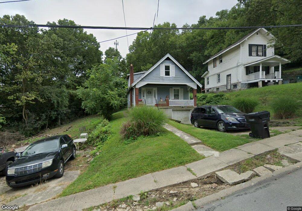
1915 Brinkmeier Ave Cincinnati, OH 45225
North Fairmount NeighborhoodEstimated Value: $76,000 - $123,000
About This Home
This home is located at 1915 Brinkmeier Ave, Cincinnati, OH 45225 and is currently estimated at $108,522, approximately $87 per square foot. 1915 Brinkmeier Ave is a home located in Hamilton County with nearby schools including Robert A. Taft Information Technology High School, Western Hills High School, and Gilbert A. Dater High School.
Ownership History
We collect this data history from publicly available records. To have your information removed, we recommend requesting removal directly through your county’s website.
Purchase Details
Purchase Details
Purchase Details
Purchase Details
Purchase Details
Home Values in the Area
Average Home Value in this Area
Purchase History
We collect this data history from publicly available records. To have your information removed, we recommend requesting removal directly through your county’s website.
| Date | Buyer | Sale Price | Title Company |
|---|---|---|---|
| -- | -- | ||
| -- | -- | ||
| $11,000 | None Available | ||
| -- | Attorney | ||
| $18,000 | Attorney |
Tax History
We collect this data history from publicly available records. To have your information removed, we recommend requesting removal directly through your county’s website.
| Year | Tax Paid | Tax Assessment Tax Assessment Total Assessment is a certain percentage of the fair market value that is determined by local assessors to be the total taxable value of land and additions on the property. | Land | Improvement |
|---|---|---|---|---|
| 2025 | $1,713 | $26,845 | $6,041 | $20,804 |
| 2024 | $1,710 | $26,845 | $6,041 | $20,804 |
| 2023 | $1,713 | $26,845 | $6,041 | $20,804 |
| 2022 | $952 | $13,325 | $5,278 | $8,047 |
| 2021 | $932 | $13,325 | $5,278 | $8,047 |
| 2020 | $935 | $13,325 | $5,278 | $8,047 |
| 2019 | $934 | $12,114 | $4,799 | $7,315 |
| 2018 | $934 | $12,114 | $4,799 | $7,315 |
| 2017 | $899 | $12,114 | $4,799 | $7,315 |
| 2016 | $471 | $6,132 | $5,733 | $399 |
| 2015 | $421 | $6,132 | $5,733 | $399 |
| 2014 | $424 | $6,132 | $5,733 | $399 |
| 2013 | $467 | $6,664 | $6,230 | $434 |
Map
- 1959 Baltimore Ave
- 2006 Baltimore Ave
- 1883 Baltimore Ave
- 1767 Sutter Ave
- 2041 Baltimore Ave
- 2043 E Teralta Cir
- 1797 Denham St
- 2088 N Teralta Cir
- 1793 Baltimore Ave
- 2114 Saint Leo Place
- 1765 Denham St
- 2065 Harrison Ave
- 2082 Harrison Ave
- 2592 Seegar Ave
- 1970 Westwood Northern Blvd
- 1732 Denham St
- 1743 Baltimore Ave
- 2563 Trevor Place
- 2568 Trevor Place
- 1642 Sutter Ave
- 1961 Baltimore Ave
- 1957 Baltimore Ave
- 1963 Baltimore Ave
- 1965 Baltimore Ave
- 1967 Baltimore Ave
- 1962 Baltimore Ave
- 1958 Baltimore Ave
- 1970 Baltimore Ave
- 1942 Baltimore Ave
- 1946 Baltimore Ave
- 1972 Baltimore Ave
- 1969 Baltimore Ave
- 1978 Baltimore Ave
- 1921 Brinkmeier Ave
- 1912 Brinkmeier Ave
- 1916 Brinkmeier Ave
- 1980 Baltimore Ave
- 1982 Baltimore Ave
- 1924 Brinkmeier Ave
- 1930 Baltimore Ave
Ask me questions while you tour the home.