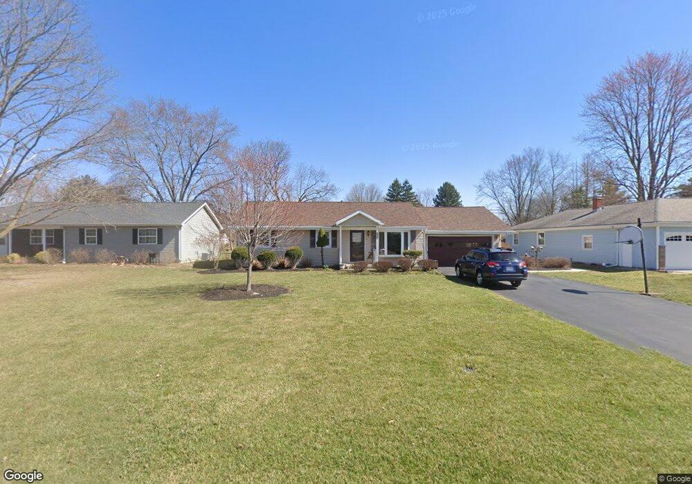
1915 Brookside Dr Findlay, OH 45840
Estimated Value: $209,000 - $322,000
About This Home
This home is located at 1915 Brookside Dr, Findlay, OH 45840 and is currently estimated at $241,346, approximately $130 per square foot. 1915 Brookside Dr is a home located in Hancock County with nearby schools including Jefferson Elementary School, Chamberlin Hill Elementary School, and Donnell Middle School.
Ownership History
We collect this data history from publicly available records. To have your information removed, we recommend requesting removal directly through your county’s website.
Purchase Details
Purchase Details
Home Financials for this Owner
Home Financials are based on the most recent Mortgage that was taken out on this home.Purchase Details
Home Values in the Area
Average Home Value in this Area
Purchase History
We collect this data history from publicly available records. To have your information removed, we recommend requesting removal directly through your county’s website.
| Date | Buyer | Sale Price | Title Company |
|---|---|---|---|
| -- | Attorney | ||
| $85,000 | -- | ||
| -- | -- |
Mortgage History
We collect this data history from publicly available records. To have your information removed, we recommend requesting removal directly through your county’s website.
| Date | Status | Borrower | Loan Amount |
|---|---|---|---|
| Closed | $80,000 |
Tax History
We collect this data history from publicly available records. To have your information removed, we recommend requesting removal directly through your county’s website.
| Year | Tax Paid | Tax Assessment Tax Assessment Total Assessment is a certain percentage of the fair market value that is determined by local assessors to be the total taxable value of land and additions on the property. | Land | Improvement |
|---|---|---|---|---|
| 2025 | $2,081 | $66,150 | $11,800 | $54,350 |
| 2024 | $1,734 | $47,560 | $7,860 | $39,700 |
| 2023 | $1,737 | $47,560 | $7,860 | $39,700 |
| 2022 | $1,731 | $47,560 | $7,860 | $39,700 |
| 2021 | $1,510 | $36,140 | $7,860 | $28,280 |
| 2020 | $1,509 | $36,140 | $7,860 | $28,280 |
| 2019 | $1,480 | $36,140 | $7,860 | $28,280 |
| 2018 | $1,452 | $32,500 | $7,860 | $24,640 |
| 2017 | $1,297 | $29,050 | $7,860 | $21,190 |
| 2016 | $1,288 | $29,050 | $7,860 | $21,190 |
| 2015 | $1,002 | $22,280 | $9,160 | $13,120 |
| 2014 | $1,002 | $22,280 | $9,160 | $13,120 |
| 2012 | $1,346 | $29,660 | $9,160 | $20,500 |
Map
- 1638 Westview Dr
- 419 E Hobart Ave
- 1031 6th St
- 1809 Park St
- 400 E Pearl St
- 1730 Park St
- 310 Oakland Ave
- 220 E Yates Ave
- 205 E Wallace St
- 1231 S Blanchard St
- 0 Township Road 227
- 0 Blanchard Ave
- 136 E Hobart Ave
- 210 Woodley Ave
- 2035 S Main St
- 1125 S Blanchard St
- 1925 Lippincott Ave
- 516 2nd St
- 1105 1st St
- 1163 Lye Creek Dr
- 1907 Brookside Dr
- 1921 Brookside Dr
- 2001 Brookside Dr
- 1901 Brookside Dr
- 1912 Westview Dr
- 1920 Westview Dr
- 1906 Westview Dr
- 2009 Brookside Dr
- 2000 Westview Dr
- 1900 Westview Dr
- 1833 Brookside Dr
- 2008 Westview Dr
- 2015 Brookside Dr
- 1830 Westview Dr
- 2010 Westview Dr
- 1824 Westview Dr
- 1905 Westview Dr
- 1903 Westview Dr
- 1921 Westview Dr
- 932 Eagle Ridge Dr
Ask me questions while you tour the home.