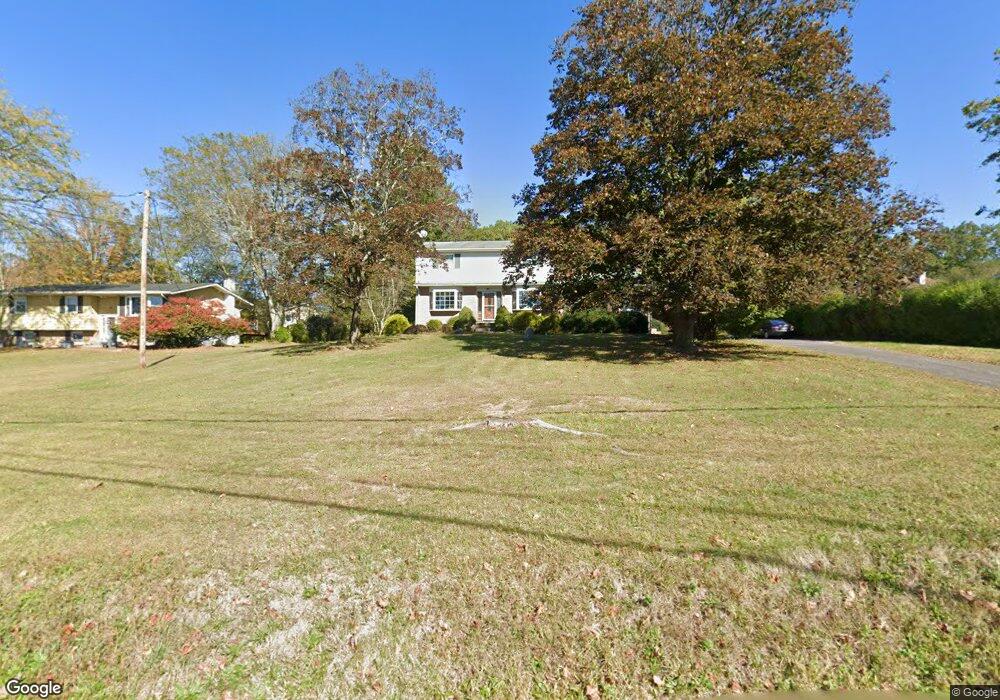
1915 Chipperfield Dr Stroudsburg, PA 18360
Estimated Value: $324,121 - $420,000
3
Beds
2
Baths
1,859
Sq Ft
$206/Sq Ft
Est. Value
About This Home
This home is located at 1915 Chipperfield Dr, Stroudsburg, PA 18360 and is currently estimated at $383,280, approximately $206 per square foot. 1915 Chipperfield Dr is a home located in Monroe County with nearby schools including Stroudsburg Junior High School, Stroudsburg High School, and Stroudsburg Seventh-day Adventist School.
Ownership History
Date
Name
Owned For
Owner Type
Purchase Details
Closed on
Feb 12, 2008
Sold by
Muncie John G and Muncie Eleanor
Bought by
Binikos Chris and Binikos Joanne
Current Estimated Value
Home Financials for this Owner
Home Financials are based on the most recent Mortgage that was taken out on this home.
Original Mortgage
$261,000
Outstanding Balance
$161,680
Interest Rate
5.72%
Mortgage Type
Purchase Money Mortgage
Estimated Equity
$221,600
Create a Home Valuation Report for This Property
The Home Valuation Report is an in-depth analysis detailing your home's value as well as a comparison with similar homes in the area
Home Values in the Area
Average Home Value in this Area
Purchase History
| Date | Buyer | Sale Price | Title Company |
|---|---|---|---|
| Binikos Chris | $275,000 | None Available |
Source: Public Records
Mortgage History
| Date | Status | Borrower | Loan Amount |
|---|---|---|---|
| Open | Binikos Chris | $261,000 |
Source: Public Records
Tax History Compared to Growth
Tax History
| Year | Tax Paid | Tax Assessment Tax Assessment Total Assessment is a certain percentage of the fair market value that is determined by local assessors to be the total taxable value of land and additions on the property. | Land | Improvement |
|---|---|---|---|---|
| 2025 | $1,288 | $156,260 | $26,740 | $129,520 |
| 2024 | $1,054 | $156,260 | $26,740 | $129,520 |
| 2023 | $5,216 | $156,260 | $26,740 | $129,520 |
| 2022 | $5,326 | $156,260 | $26,740 | $129,520 |
| 2021 | $5,162 | $156,260 | $26,740 | $129,520 |
| 2020 | $5,092 | $156,260 | $26,740 | $129,520 |
| 2019 | $4,414 | $23,410 | $5,760 | $17,650 |
| 2018 | $4,709 | $23,410 | $5,760 | $17,650 |
| 2017 | $4,709 | $23,410 | $5,760 | $17,650 |
| 2016 | $886 | $23,410 | $5,760 | $17,650 |
| 2015 | -- | $23,410 | $5,760 | $17,650 |
| 2014 | -- | $23,410 | $5,760 | $17,650 |
Source: Public Records
Map
Nearby Homes
- 2204 Hallmark Dr
- 108 Holmgren Dr
- 0 Marshall Dr
- 916 Mt Zion Ave
- 0 Werkheiser Ln Unit 723191
- 0 Werkheiser Ln Unit PAMR2003624
- 0 Werkheiser Ln Unit PM-121046
- 0 Eagle Drive (Bush) Ct
- 314 White Stone Corner Rd
- 6284 Cardinal Dr
- 259 Tanite Rd
- 0 Seneca Way
- 127 Kirkwood Rd
- 448 Bernadine Dr
- 810 Church St
- 2215 Sutton Dr
- LOT Edgemont Rd
- 2142 Wigwam Park Rd
- 0 Wigwam Park Rd
- 102 Arbor Way
- 507 Colvin Rd
- 3 Linwood Dr
- 2003 Linwood Dr
- 503 Colvin Rd
- 2001 Linwood Dr
- 12 Linwood Dr
- Lot 2 Linwood Dr
- 2004 Chipperfield Dr
- 1911 Chipperfield Dr
- 502 Colvin Rd
- 1905 Chipperfield Dr
- 1105 Crestview Dr
- 2006 Linwood Dr
- 2004 Linwood Dr
- 1144 Crestview Dr
- 2008 Linwood Dr
- 2011 Linwood Dr
- 2012 Linwood Dr
- 2000 Linwood Dr
- 2000 Linwood(aka Crestwood) Rd