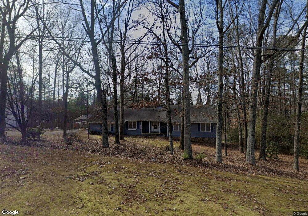
1915 Commonwealth Rd Cumming, GA 30041
Big Creek NeighborhoodEstimated Value: $388,783 - $474,000
3
Beds
2
Baths
1,480
Sq Ft
$294/Sq Ft
Est. Value
About This Home
This home is located at 1915 Commonwealth Rd, Cumming, GA 30041 and is currently estimated at $435,446, approximately $294 per square foot. 1915 Commonwealth Rd is a home located in Forsyth County with nearby schools including Shiloh Point Elementary School, Piney Grove Middle School, and Denmark High School.
Ownership History
Date
Name
Owned For
Owner Type
Purchase Details
Closed on
Mar 30, 2022
Sold by
Olcott Steve M
Bought by
Olcott Steve M
Current Estimated Value
Home Financials for this Owner
Home Financials are based on the most recent Mortgage that was taken out on this home.
Original Mortgage
$50,000
Outstanding Balance
$33,409
Interest Rate
3.76%
Mortgage Type
New Conventional
Estimated Equity
$402,037
Purchase Details
Closed on
Jul 3, 2019
Sold by
Olcott Sherry Lynn
Bought by
Olcott Steven M
Purchase Details
Closed on
Oct 27, 2003
Sold by
Olcott Steven M and Olcott Dherry L
Bought by
Olcott Steve M and Olcott Sherry
Home Financials for this Owner
Home Financials are based on the most recent Mortgage that was taken out on this home.
Original Mortgage
$115,800
Interest Rate
5.75%
Mortgage Type
New Conventional
Create a Home Valuation Report for This Property
The Home Valuation Report is an in-depth analysis detailing your home's value as well as a comparison with similar homes in the area
Home Values in the Area
Average Home Value in this Area
Purchase History
| Date | Buyer | Sale Price | Title Company |
|---|---|---|---|
| Olcott Steve M | -- | New Title Company Name | |
| Olcott Steven M | -- | -- | |
| Olcott Steve M | -- | -- |
Source: Public Records
Mortgage History
| Date | Status | Borrower | Loan Amount |
|---|---|---|---|
| Open | Olcott Steve M | $50,000 | |
| Closed | Olcott Steve M | $50,000 | |
| Previous Owner | Olcott Steve M | $115,800 |
Source: Public Records
Tax History
| Year | Tax Paid | Tax Assessment Tax Assessment Total Assessment is a certain percentage of the fair market value that is determined by local assessors to be the total taxable value of land and additions on the property. | Land | Improvement |
|---|---|---|---|---|
| 2025 | $1,082 | $151,752 | $60,000 | $91,752 |
| 2024 | $1,082 | $149,416 | $60,000 | $89,416 |
| 2023 | $3,546 | $144,044 | $50,000 | $94,044 |
Source: Public Records
Map
Nearby Homes
- 2015 Commonwealth Rd
- 1760 Commonwealth Trail
- 1925 Commonwealth Ct
- 2530 Ballantrae Cir Unit 45
- 1940 Commonwealth Ct
- 2516 Ballantrae Cir Unit 39
- 2550 Ballantrae Cir Unit 53
- 2335 Flat Stone Dr
- 2472 Ballantrae Cir Unit 26
- 2820 Gainesway Ct
- 2462 Ballantrae Cir
- 2560 Bertrand Way
- 2545 Bertrand Way
- 2910 Creek Tree Ln
- 1445 Squire Ln
- 2815 Medford Dr
- 2855 Medford Dr
- 3010 Florence St
- 2480 Flint Creek Dr
- 3090 Florence St
- 1825 Commonwealth Rd
- 1925 Commonwealth Rd
- 2515 Creek Tree Ln
- 1920 Commonwealth Rd
- 2435 Creek Tree Ln
- 2525 Creek Tree Ln
- 1910 Commonwealth Dr
- 1935 Commonwealth Rd
- 2425 Creek Tree Ln
- 1815 Commonwealth Rd
- 1930 Commonwealth Rd
- 2535 Creek Tree Ln
- 1755 Commonwealth Trail
- 1920 Commonwealth Dr
- 2415 Creek Tree Ln
- 1915 Commonwealth Dr
- 2520 Creek Tree Ln
- 2015 Commonwealth Place
- 1745 Commonwealth Trail
- 1770 Commonwealth Trail
Your Personal Tour Guide
Ask me questions while you tour the home.