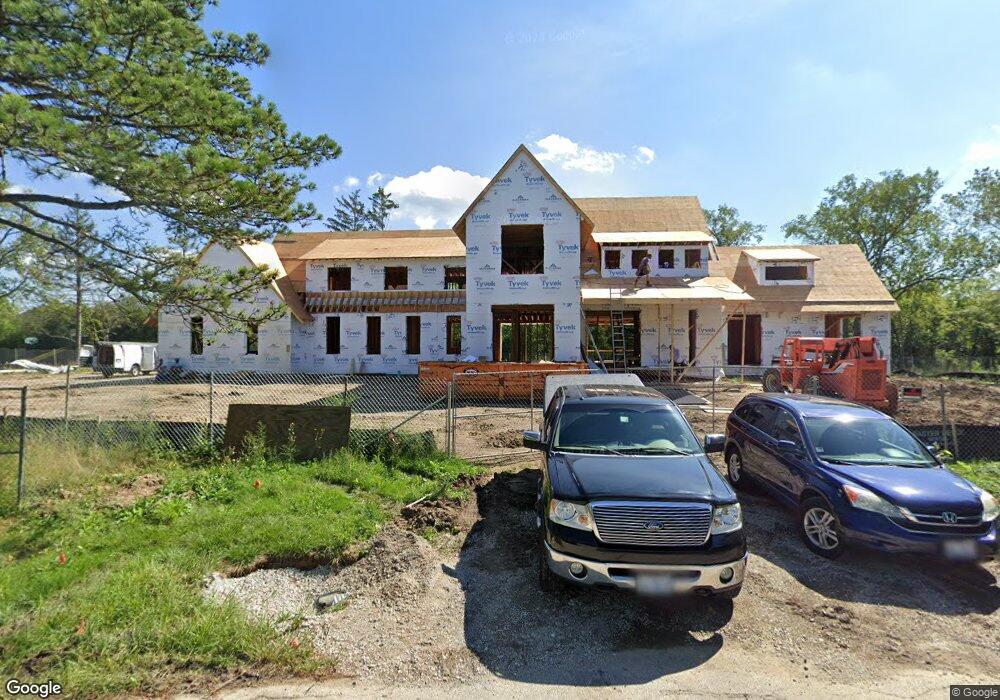
1915 E Circle Dr Northfield, IL 60093
Estimated Value: $2,357,000 - $3,979,000
4
Beds
6
Baths
6,507
Sq Ft
$492/Sq Ft
Est. Value
About This Home
This home is located at 1915 E Circle Dr, Northfield, IL 60093 and is currently estimated at $3,203,249, approximately $492 per square foot. 1915 E Circle Dr is a home located in Cook County with nearby schools including Middlefork Primary School, Sunset Ridge Elementary School, and New Trier Township High School - Northfield.
Ownership History
Date
Name
Owned For
Owner Type
Purchase Details
Closed on
Jul 31, 2017
Sold by
E Circle Llc
Bought by
Chicago Title Land Trust Co and Trust Number 8002374254
Current Estimated Value
Purchase Details
Closed on
Nov 10, 2006
Sold by
Bess Arthur G
Bought by
E Circle Llc
Purchase Details
Closed on
May 18, 2000
Sold by
Bess Agnes
Bought by
Bess Arthur G and Agnes Bess First Amended & Restated Decl
Purchase Details
Closed on
May 10, 1999
Sold by
Bess Agnes E
Bought by
Bess Agnes and Agnes Bess First Amended & Restated Decl
Create a Home Valuation Report for This Property
The Home Valuation Report is an in-depth analysis detailing your home's value as well as a comparison with similar homes in the area
Home Values in the Area
Average Home Value in this Area
Purchase History
| Date | Buyer | Sale Price | Title Company |
|---|---|---|---|
| Chicago Title Land Trust Co | $720,000 | Attorneys Title Guaranty Fun | |
| E Circle Llc | -- | None Available | |
| Bess Arthur G | -- | -- | |
| Bess Agnes | -- | -- |
Source: Public Records
Tax History
| Year | Tax Paid | Tax Assessment Tax Assessment Total Assessment is a certain percentage of the fair market value that is determined by local assessors to be the total taxable value of land and additions on the property. | Land | Improvement |
|---|---|---|---|---|
| 2025 | $53,537 | $289,001 | $30,677 | $258,324 |
| 2024 | $53,537 | $254,000 | $27,268 | $226,732 |
| 2023 | $50,731 | $254,000 | $27,268 | $226,732 |
| 2022 | $50,731 | $254,000 | $27,268 | $226,732 |
| 2021 | $41,222 | $175,982 | $35,789 | $140,193 |
| 2020 | $40,393 | $175,982 | $35,789 | $140,193 |
| 2019 | $18,843 | $88,824 | $35,789 | $53,035 |
| 2018 | $7,035 | $31,528 | $31,528 | $0 |
| 2017 | $6,814 | $31,528 | $31,528 | $0 |
| 2016 | $6,429 | $31,528 | $31,528 | $0 |
| 2015 | $5,930 | $26,415 | $26,415 | $0 |
| 2014 | $5,815 | $26,415 | $26,415 | $0 |
| 2013 | $5,571 | $26,415 | $26,415 | $0 |
Source: Public Records
Map
Nearby Homes
- 1930 Sunset Ridge Rd
- 2154 Northgate Rd
- 1990 Southridge Terrace
- 849 Country Club Ln
- 4 Steeple Chase Ln
- 898 Bridlegate Ln
- 2122 Middlefork Rd
- 831 Balmoral Ln
- 24 Bridlewood Rd
- 34 Bridlewood Rd
- 590 Briar Ln
- 989 Enfield Dr
- 2220 Founders Dr Unit 213
- 2220 Founders Dr Unit P102
- 2220 Founders Dr Unit 107
- 2220 Founders Dr Unit 316
- 2220 Founders Dr Unit 119
- 2220 Founders Dr Unit 325
- 2220 Founders Dr Unit 314
- 2220 Founders Dr Unit 116
- 1918 E Circle Dr
- 485 Valley Way
- 1920 E Circle Dr
- 1950 Sunset Ridge Rd
- 405 Valley Way
- 1980 Sunset Ridge Rd
- 470 Landreth Ln
- 575 Valley Way
- 520 Valley Way
- 555 Valley Way
- 476 Landreth Ln
- 420 Landreth Ln
- 390 Meadowbrook Dr
- 447 Pebblebrook Rd
- 1925 Sunset Ridge Rd
- 431 Pebblebrook Rd
- 385 Meadowbrook Dr
- 455 Landreth Ln
- 485 Landreth Ln
Your Personal Tour Guide
Ask me questions while you tour the home.