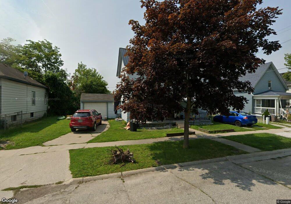
1915 Elk St Unit Bldg-Unit Port Huron, MI 48060
Estimated Value: $141,588 - $166,000
3
Beds
3
Baths
1,904
Sq Ft
$81/Sq Ft
Est. Value
About This Home
This home is located at 1915 Elk St Unit Bldg-Unit, Port Huron, MI 48060 and is currently estimated at $154,147, approximately $80 per square foot. 1915 Elk St Unit Bldg-Unit is a home located in St. Clair County with nearby schools including H.D. Crull Elementary School, Holland Woods Middle School, and Port Huron Northern High School.
Ownership History
Date
Name
Owned For
Owner Type
Purchase Details
Closed on
Aug 20, 2018
Sold by
William R Maxwell
Bought by
Witzke Paul and Witzke Susan
Current Estimated Value
Home Financials for this Owner
Home Financials are based on the most recent Mortgage that was taken out on this home.
Original Mortgage
$92,166
Outstanding Balance
$79,929
Interest Rate
4.53%
Estimated Equity
$74,218
Purchase Details
Closed on
Jun 19, 2018
Sold by
Mark Henderson
Bought by
Witzke Paul C and Witzke Susan M
Purchase Details
Closed on
May 30, 2018
Sold by
Mark Henderson
Bought by
Witzke Paul C and Witzke Susan M
Purchase Details
Closed on
Apr 25, 2006
Sold by
Maxwell Dianna L
Bought by
Estate Of William R Maxwell
Purchase Details
Closed on
Jun 6, 2004
Sold by
Maxwell Dianna L
Bought by
Maxwell William R
Create a Home Valuation Report for This Property
The Home Valuation Report is an in-depth analysis detailing your home's value as well as a comparison with similar homes in the area
Home Values in the Area
Average Home Value in this Area
Purchase History
| Date | Buyer | Sale Price | Title Company |
|---|---|---|---|
| Witzke Paul | $38,000 | -- | |
| Witzke Paul C | $38,000 | Liberty Title | |
| Witzke Paul C | $38,000 | Liberty Title | |
| Estate Of William R Maxwell | -- | None Available | |
| Maxwell William R | -- | None Available |
Source: Public Records
Mortgage History
| Date | Status | Borrower | Loan Amount |
|---|---|---|---|
| Open | Witzke Paul | $92,166 | |
| Closed | Witzke Paul | -- |
Source: Public Records
Tax History Compared to Growth
Tax History
| Year | Tax Paid | Tax Assessment Tax Assessment Total Assessment is a certain percentage of the fair market value that is determined by local assessors to be the total taxable value of land and additions on the property. | Land | Improvement |
|---|---|---|---|---|
| 2025 | $2,626 | $62,600 | $0 | $0 |
| 2024 | $2,322 | $57,900 | $0 | $0 |
| 2023 | $2,199 | $51,600 | $0 | $0 |
| 2022 | $2,224 | $44,100 | $0 | $0 |
| 2021 | $2,123 | $41,000 | $0 | $0 |
| 2020 | $2,132 | $38,200 | $38,200 | $0 |
| 2019 | $2,093 | $26,600 | $0 | $0 |
| 2018 | $1,522 | $26,600 | $0 | $0 |
| 2017 | $1,384 | $24,900 | $0 | $0 |
| 2016 | $1,185 | $24,900 | $0 | $0 |
| 2015 | $1,163 | $22,500 | $22,500 | $0 |
| 2014 | $1,163 | $21,600 | $21,600 | $0 |
| 2013 | -- | $21,600 | $0 | $0 |
Source: Public Records
Map
Nearby Homes
- 2400 Stone St Unit 2414
- 1620 McBrady St
- 2419 Cherry St
- 1433 Poplar St
- 1116 Hancock St
- 1649 Whipple St
- 2431 Armour St
- 1733 Whipple St
- 1907 Riverside Dr
- 1819 Riverside Dr
- 1417 Kearney St
- 1002 Erie St
- 713 Rawlins St
- 917 Saint Clair St
- 2215 Hancock St
- 2913 11th Ave
- 1531 Robinson St
- 0000 Campau Ave
- 2736 17th Ave
- 1202 Palmer Ct