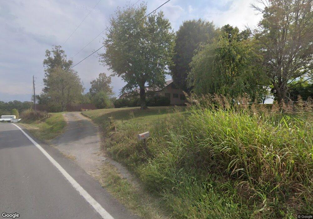
1915 Highway 55 South Rd Columbia, KY 42728
Estimated Value: $178,000 - $245,000
3
Beds
2
Baths
1,720
Sq Ft
$122/Sq Ft
Est. Value
About This Home
This home is located at 1915 Highway 55 South Rd, Columbia, KY 42728 and is currently estimated at $210,234, approximately $122 per square foot. 1915 Highway 55 South Rd is a home located in Adair County with nearby schools including Colonel William Casey Elementary School, Adair County Elementary School, and Adair County Middle School.
Ownership History
Date
Name
Owned For
Owner Type
Purchase Details
Closed on
Jun 23, 2014
Sold by
Estate Of Jay Burton Curtis
Bought by
Bennett Donald
Current Estimated Value
Home Financials for this Owner
Home Financials are based on the most recent Mortgage that was taken out on this home.
Original Mortgage
$84,905
Outstanding Balance
$64,556
Interest Rate
4.19%
Mortgage Type
Credit Line Revolving
Estimated Equity
$145,678
Create a Home Valuation Report for This Property
The Home Valuation Report is an in-depth analysis detailing your home's value as well as a comparison with similar homes in the area
Home Values in the Area
Average Home Value in this Area
Purchase History
| Date | Buyer | Sale Price | Title Company |
|---|---|---|---|
| Bennett Donald | $97,370 | None Available |
Source: Public Records
Mortgage History
| Date | Status | Borrower | Loan Amount |
|---|---|---|---|
| Open | Bennett Donald | $84,905 |
Source: Public Records
Tax History Compared to Growth
Tax History
| Year | Tax Paid | Tax Assessment Tax Assessment Total Assessment is a certain percentage of the fair market value that is determined by local assessors to be the total taxable value of land and additions on the property. | Land | Improvement |
|---|---|---|---|---|
| 2024 | $1,110 | $97,300 | $25,000 | $72,300 |
| 2023 | $1,128 | $97,300 | $25,000 | $72,300 |
| 2022 | $1,098 | $97,300 | $25,000 | $72,300 |
| 2021 | $1,129 | $97,300 | $25,000 | $72,300 |
| 2020 | $1,110 | $97,300 | $25,000 | $72,300 |
| 2019 | $1,096 | $97,300 | $25,000 | $72,300 |
| 2018 | $1,106 | $97,300 | $25,000 | $72,300 |
| 2017 | $1,101 | $97,300 | $25,000 | $72,300 |
| 2016 | $1,073 | $97,300 | $25,000 | $72,300 |
| 2015 | $437 | $97,300 | $25,000 | $72,300 |
| 2013 | $437 | $83,000 | $83,000 | $0 |
Source: Public Records
Map
Nearby Homes
- 2300 Fairplay Rd
- 775 Conover Ln
- 751 Conover Ln
- 401 Tutt St Unit Tract 2
- 401 Tutt St
- 601 Jamestown St
- 603 Jamestown St
- 106 College Park
- 110 College Park
- 202 E Guardian St
- 310 Adair Ave
- 515 Burkesville St
- 250 Melson Ridge Rd
- 431 Wain St
- 100 Wall St
- 425 Wain St
- 2512 Fairplay Rd
- 12460 Liberty Rd
- 2009 Liberty Rd
- 406 Oak St
- 2259 Highway 55 South Rd
- 2237 Highway 55 South Rd
- 2027 Highway 55 South Rd
- 1952 Highway 55 South Rd
- 2096 Highway 55 South Rd
- 2195 Highway 55 South Rd
- Tract #5 Hwy 55
- Tract #5 Hwy 55
- 1201 1 Rooks
- 79 Marvin Jones Rd
- 50 Marvin Jones Rd
- 2274 Highway 55 South Rd
- 225 Marvin Jones Rd
- 114 Morrison Rd
- 1862 Highway 55 South Rd
- 294 Fairplay Rd
- 145 Morrison Rd
- 140 Morrison Rd
- 180 Morrison Rd
- 186 Marvin Jones Rd