Estimated Value: $69,000 - $140,000
--
Bed
1
Bath
1,269
Sq Ft
$90/Sq Ft
Est. Value
About This Home
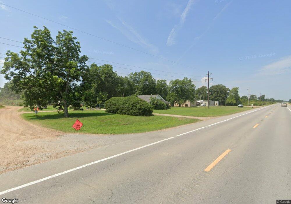
This home is located at 1915 Highway 64, Wynne, AR 72396 and is currently estimated at $114,379, approximately $90 per square foot. 1915 Highway 64 is a home located in Cross County with nearby schools including Wynne Primary School, Wynne Intermediate School, and Wynne Junior High School.
Ownership History
Date
Name
Owned For
Owner Type
Purchase Details
Closed on
Apr 9, 2021
Sold by
Taylor Judith L
Bought by
Butler Benjamin A and Butler Laura Beth
Current Estimated Value
Home Financials for this Owner
Home Financials are based on the most recent Mortgage that was taken out on this home.
Original Mortgage
$88,000
Outstanding Balance
$10,971
Interest Rate
3.05%
Mortgage Type
New Conventional
Estimated Equity
$103,408
Purchase Details
Closed on
Oct 7, 1991
Bought by
Wilson Kenny and Wilson Peggy
Create a Home Valuation Report for This Property
The Home Valuation Report is an in-depth analysis detailing your home's value as well as a comparison with similar homes in the area
Home Values in the Area
Average Home Value in this Area
Purchase History
| Date | Buyer | Sale Price | Title Company |
|---|---|---|---|
| Butler Benjamin A | $110,000 | Janus Title Llc | |
| Wilson Kenny | $20,000 | -- |
Source: Public Records
Mortgage History
| Date | Status | Borrower | Loan Amount |
|---|---|---|---|
| Open | Butler Benjamin A | $88,000 |
Source: Public Records
Tax History Compared to Growth
Tax History
| Year | Tax Paid | Tax Assessment Tax Assessment Total Assessment is a certain percentage of the fair market value that is determined by local assessors to be the total taxable value of land and additions on the property. | Land | Improvement |
|---|---|---|---|---|
| 2024 | $30 | $8,320 | $1,650 | $6,670 |
| 2023 | $0 | $8,320 | $1,650 | $6,670 |
| 2022 | $30 | $8,320 | $1,650 | $6,670 |
| 2021 | $30 | $8,320 | $1,650 | $6,670 |
| 2020 | $362 | $7,450 | $1,280 | $6,170 |
| 2019 | $417 | $8,700 | $1,200 | $7,500 |
| 2018 | $417 | $8,700 | $1,200 | $7,500 |
| 2017 | $387 | $8,700 | $1,200 | $7,500 |
| 2016 | $417 | $8,700 | $1,200 | $7,500 |
| 2015 | $387 | $8,700 | $1,200 | $7,500 |
| 2014 | $479 | $10,770 | $1,440 | $9,330 |
Source: Public Records
Map
Nearby Homes
- 2300 Burnette Dr
- 1910 Union Ave W
- 136 Matthew Addition Cove
- 813 Childress Dr
- 0 Brittney Cir Unit 43670
- 0 Brittney Cir Unit 25030957
- 1002 Brittney Cir
- 0 Cr 760
- 624 C St
- 1783 Hart
- 704 Front St S
- 345 Rhine Ave
- 714 Church St N
- 0 County Road 155
- 513 Forrest Ave E
- 514 Poplar Ave E
- 908 Block St S
- 314 Mildred Dr E
- 607 Bruce St N
- 810 Forrest Ave E