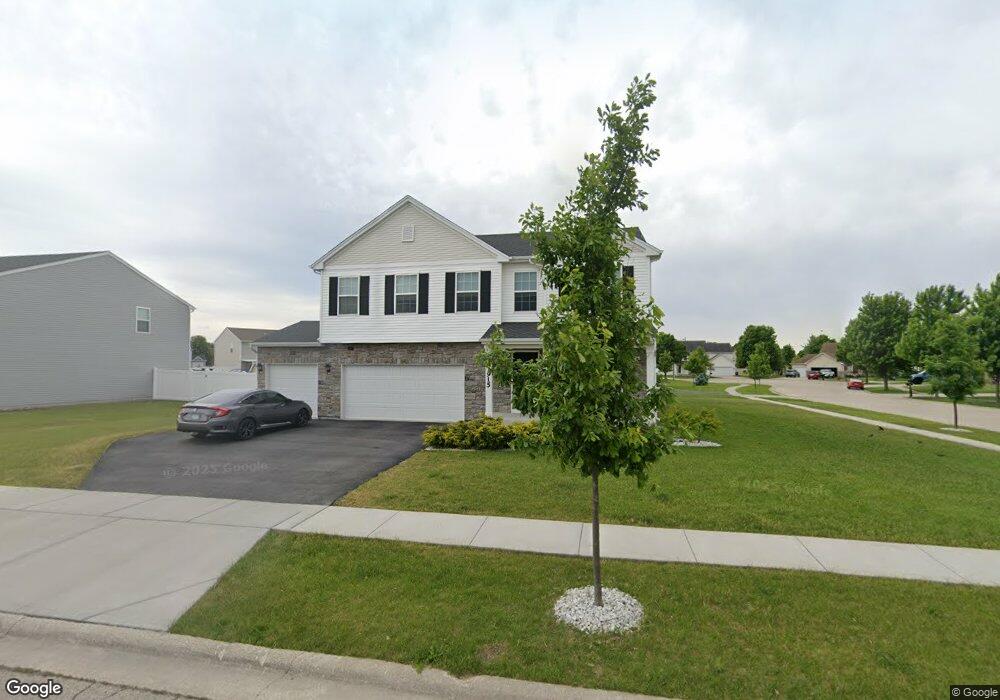
1915 Locust Rd Morris, IL 60450
Estimated Value: $387,000 - $438,000
Studio
--
Bath
--
Sq Ft
12,197
Sq Ft Lot
About This Home
This home is located at 1915 Locust Rd, Morris, IL 60450 and is currently estimated at $408,513. 1915 Locust Rd is a home with nearby schools including Saratoga Elementary School, Morris Community High School, and Immaculate Conception School.
Ownership History
Date
Name
Owned For
Owner Type
Purchase Details
Closed on
Sep 28, 2020
Sold by
K Hovnanian At Deer Llc
Bought by
Carrillo-Serrano Horacio
Current Estimated Value
Home Financials for this Owner
Home Financials are based on the most recent Mortgage that was taken out on this home.
Original Mortgage
$233,250
Interest Rate
3%
Mortgage Type
Construction
Purchase Details
Closed on
Jan 24, 2020
Sold by
Deer Ridge Homes Inc
Bought by
K Hovnanian At Deer Ridge Llc
Create a Home Valuation Report for This Property
The Home Valuation Report is an in-depth analysis detailing your home's value as well as a comparison with similar homes in the area
Purchase History
| Date | Buyer | Sale Price | Title Company |
|---|---|---|---|
| Carrillo-Serrano Horacio | $291,608 | Greater Illinois Title | |
| K Hovnanian At Deer Ridge Llc | $285,000 | None Available |
Source: Public Records
Mortgage History
| Date | Status | Borrower | Loan Amount |
|---|---|---|---|
| Previous Owner | Carrillo-Serrano Horacio | $233,250 |
Source: Public Records
Tax History
| Year | Tax Paid | Tax Assessment Tax Assessment Total Assessment is a certain percentage of the fair market value that is determined by local assessors to be the total taxable value of land and additions on the property. | Land | Improvement |
|---|---|---|---|---|
| 2024 | $8,602 | $118,527 | $14,362 | $104,165 |
| 2023 | $8,086 | $111,419 | $16,669 | $94,750 |
| 2022 | $6,619 | $97,202 | $15,680 | $81,522 |
| 2021 | $7,419 | $106,709 | $14,679 | $92,030 |
| 2020 | $1,041 | $13,848 | $13,848 | $0 |
| 2019 | $1,034 | $13,848 | $13,848 | $0 |
| 2018 | $1,041 | $13,887 | $13,887 | $0 |
| 2017 | $1,015 | $13,593 | $13,593 | $0 |
| 2016 | $1,264 | $16,933 | $16,933 | $0 |
| 2015 | $626 | $16,693 | $16,693 | $0 |
| 2014 | $589 | $15,862 | $15,862 | $0 |
| 2013 | $604 | $16,470 | $16,470 | $0 |
Source: Public Records
Map
Nearby Homes
- 1932 Mountain Rd
- 2068 Locust Rd
- Lot 79.2 Periwinkle Ct
- Lot 79.1 Periwinkle Ct
- 1648 Periwinkle Dr
- 1605-1607 Schubert Dr
- 1539 W Us Route 6
- 0 Anne Ln
- 1466 Mollie Dr
- 374 Edgewater Dr
- Lot 3,4,5,7,8 Edgewater Dr
- 2666 Beyer Rd
- 2099 Kingtree Dr
- 1800 Kingtree Dr
- 0000 Lakewood Dr
- 1180 Lakewood Dr
- Lot 58 Timber Edge Dr
- 1028 Oakwood Dr
- 1094 Oakwood Dr
- 1007 Oakwood Dr
- 1913 Cherry Ct
- Lot 24 Locust Dr
- LOT 21 Locust Rd
- 1930 Cherry Ct
- 1887 Locust Rd
- 1904 Locust Rd
- 1922 Cherry Ct
- 1905 Cherry Ct
- 1886 Harbor Dr
- 1914 Cherry Ct
- 1880 Harbor Dr
- 1903 Mountain Rd
- 1873 Locust Rd
- 1897 Cherry Ct
- 1892 Harbor Dr
- 1906 Cherry Ct
- 1906 Eagle Dr
- 1907 Mountain Rd
- 1914 Eagle Dr
- 1900 Mountain Rd
Your Personal Tour Guide
Ask me questions while you tour the home.