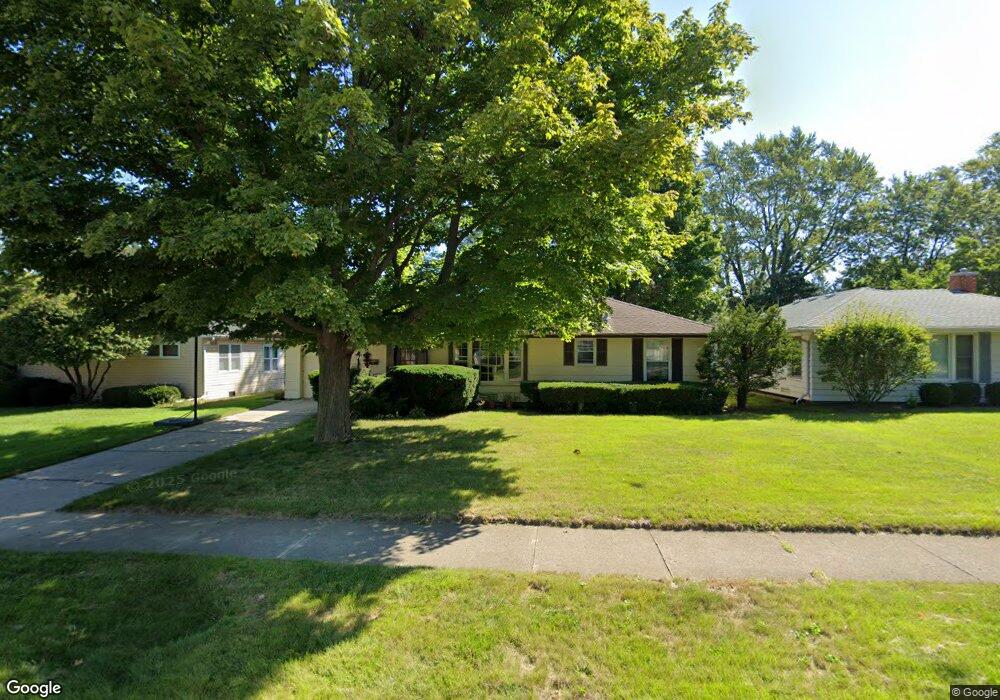
1915 N Poplar St Waukegan, IL 60087
Greenwood Park NeighborhoodEstimated Value: $194,000 - $256,000
3
Beds
1
Bath
1,008
Sq Ft
$221/Sq Ft
Est. Value
About This Home
This home is located at 1915 N Poplar St, Waukegan, IL 60087 and is currently estimated at $223,069, approximately $221 per square foot. 1915 N Poplar St is a home located in Lake County with nearby schools including Greenwood Elementary School, Edith M Smith Middle School, and Waukegan High School.
Ownership History
Date
Name
Owned For
Owner Type
Purchase Details
Closed on
Nov 9, 1998
Sold by
Ogrin Robert F and Will Of Margaret L Ogrin
Bought by
Malles Victoria L
Current Estimated Value
Home Financials for this Owner
Home Financials are based on the most recent Mortgage that was taken out on this home.
Original Mortgage
$95,910
Outstanding Balance
$21,322
Interest Rate
6.8%
Mortgage Type
FHA
Estimated Equity
$201,747
Create a Home Valuation Report for This Property
The Home Valuation Report is an in-depth analysis detailing your home's value as well as a comparison with similar homes in the area
Home Values in the Area
Average Home Value in this Area
Purchase History
| Date | Buyer | Sale Price | Title Company |
|---|---|---|---|
| Malles Victoria L | $98,000 | -- |
Source: Public Records
Mortgage History
| Date | Status | Borrower | Loan Amount |
|---|---|---|---|
| Open | Malles Victoria L | $95,910 |
Source: Public Records
Tax History Compared to Growth
Tax History
| Year | Tax Paid | Tax Assessment Tax Assessment Total Assessment is a certain percentage of the fair market value that is determined by local assessors to be the total taxable value of land and additions on the property. | Land | Improvement |
|---|---|---|---|---|
| 2024 | $3,518 | $50,212 | $16,404 | $33,808 |
| 2023 | $3,468 | $45,309 | $14,802 | $30,507 |
| 2022 | $3,468 | $41,479 | $12,812 | $28,667 |
| 2021 | $3,251 | $37,181 | $11,428 | $25,753 |
| 2020 | $3,246 | $34,639 | $10,647 | $23,992 |
| 2019 | $3,215 | $31,741 | $9,756 | $21,985 |
| 2018 | $3,354 | $32,319 | $13,808 | $18,511 |
| 2017 | $3,214 | $28,593 | $12,216 | $16,377 |
| 2016 | $2,912 | $24,846 | $10,615 | $14,231 |
| 2015 | $2,743 | $22,238 | $9,501 | $12,737 |
| 2014 | $2,445 | $19,993 | $8,434 | $11,559 |
| 2012 | $3,251 | $21,660 | $9,138 | $12,522 |
Source: Public Records
Map
Nearby Homes
- 1905 Linden Ave
- 616 W Keith Ave
- 1018 W Atlantic Ave
- 2232 Walnut St
- 1336 N Ash St
- 1335 Chestnut St
- 1312 N Linden Ave
- 2246 Alta Vista Dr
- 2213 Alta Vista Dr
- 301 W Eagle Ct
- 1110 N Ash St
- 1105 Woodlawn Cir
- 1504 W Glen Flora Ave
- 0 Traditions Dr
- 415 W Ridgeland Ave
- 1117 Judge Ave
- 918 N Ash St
- 1000 Pine St
- 917 N Linden Ave
- 2008 Harding Ave
- 1911 N Poplar St
- 705 Colville Place
- 1905 N Poplar St
- 1914 Ash St
- 1910 Ash St
- 703 Colville Place
- 1906 Ash St
- 708 Colville Place
- 1901 N Poplar St
- 1914 N Poplar St
- 1918 N Poplar St
- 1906 N Poplar St
- 1902 Ash St
- 1937 N Poplar St
- 1936 Ash St
- 1848 Ash St
- 736 Colville Place
- 1941 N Poplar St
- 1841 N Poplar St
- 1936 N Poplar St