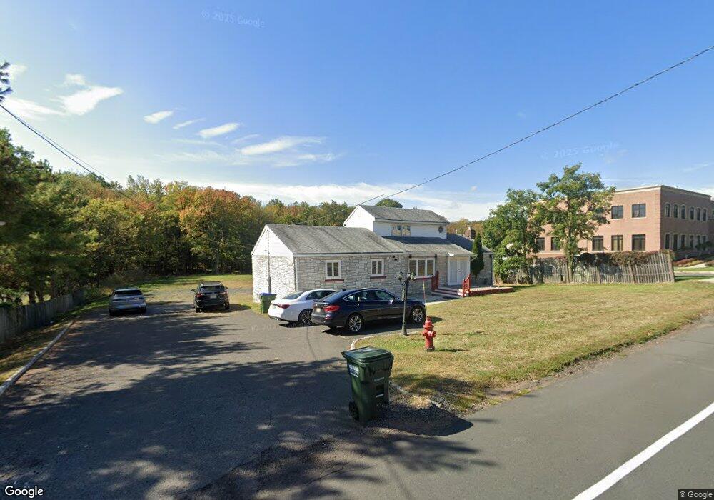
1915 Oak Tree Rd Edison, NJ 08820
Estimated Value: $757,717 - $952,000
Studio
--
Bath
1,809
Sq Ft
$468/Sq Ft
Est. Value
About This Home
This home is located at 1915 Oak Tree Rd, Edison, NJ 08820 and is currently estimated at $846,429, approximately $467 per square foot. 1915 Oak Tree Rd is a home located in Middlesex County with nearby schools including Martin Luther King Elementary School, Woodrow Wilson Middle School, and J.P. Stevens High School.
Ownership History
Date
Name
Owned For
Owner Type
Purchase Details
Closed on
Aug 9, 2002
Sold by
Ayub Mohamad
Bought by
Banalore Ramaamurthy
Current Estimated Value
Home Financials for this Owner
Home Financials are based on the most recent Mortgage that was taken out on this home.
Original Mortgage
$448,000
Outstanding Balance
$186,993
Interest Rate
6.36%
Estimated Equity
$659,436
Purchase Details
Closed on
Jun 9, 2000
Sold by
Worjtko Ernest
Bought by
Mohyammed Ayub and Shameema Ayub
Home Financials for this Owner
Home Financials are based on the most recent Mortgage that was taken out on this home.
Original Mortgage
$297,500
Interest Rate
8.24%
Create a Home Valuation Report for This Property
The Home Valuation Report is an in-depth analysis detailing your home's value as well as a comparison with similar homes in the area
Home Values in the Area
Average Home Value in this Area
Purchase History
We collect this data history from publicly available records. To have your information removed, we recommend requesting removal directly through your county’s website.
| Date | Buyer | Sale Price | Title Company |
|---|---|---|---|
| Banalore Ramaamurthy | $560,000 | -- | |
| Mohyammed Ayub | $425,000 | -- |
Source: Public Records
Mortgage History
We collect this data history from publicly available records. To have your information removed, we recommend requesting removal directly through your county’s website.
| Date | Status | Borrower | Loan Amount |
|---|---|---|---|
| Open | Banalore Ramaamurthy | $448,000 | |
| Previous Owner | Mohyammed Ayub | $297,500 |
Source: Public Records
Tax History
| Year | Tax Paid | Tax Assessment Tax Assessment Total Assessment is a certain percentage of the fair market value that is determined by local assessors to be the total taxable value of land and additions on the property. | Land | Improvement |
|---|---|---|---|---|
| 2025 | $14,371 | $241,400 | $136,300 | $105,100 |
| 2024 | $14,293 | $241,400 | $136,300 | $105,100 |
| 2023 | $14,293 | $241,400 | $136,300 | $105,100 |
| 2022 | $14,298 | $241,400 | $136,300 | $105,100 |
| 2021 | $13,055 | $241,400 | $136,300 | $105,100 |
| 2020 | $14,119 | $241,400 | $136,300 | $105,100 |
| 2019 | $13,055 | $241,400 | $136,300 | $105,100 |
| 2018 | $12,555 | $241,400 | $136,300 | $105,100 |
| 2017 | $12,205 | $241,400 | $136,300 | $105,100 |
| 2016 | $12,205 | $241,400 | $136,300 | $105,100 |
| 2015 | $11,742 | $241,400 | $136,300 | $105,100 |
| 2014 | $11,409 | $241,400 | $136,300 | $105,100 |
Source: Public Records
Map
Nearby Homes
- 06 Oak Tree Rd Unit 1
- 0 Oak Tree Rd
- 1638-1644 Oak Tree Rd
- 1914 Oak Tree Rd Unit A
- 1920 Oak Tree Rd
- 1910 Oak Tree Rd Unit 1B
- 1910 Oak Tree Rd Unit 2B
- 1912 Oak Tree Rd
- 1916 Oak Tree Rd
- 3 Tamagnini Ct
- 1924 Oak Tree Rd
- 1924 Oak Tree Rd Unit None
- 23 Lombardi St
- 1908 Oak Tree Rd
- 21 Lombardi St
- 7 Tamagnini Ct
- 19 Lombardi St
- 1928 Oak Tree Rd
- 17 Lombardi St
- 15 Lombardi St
Your Personal Tour Guide
Ask me questions while you tour the home.