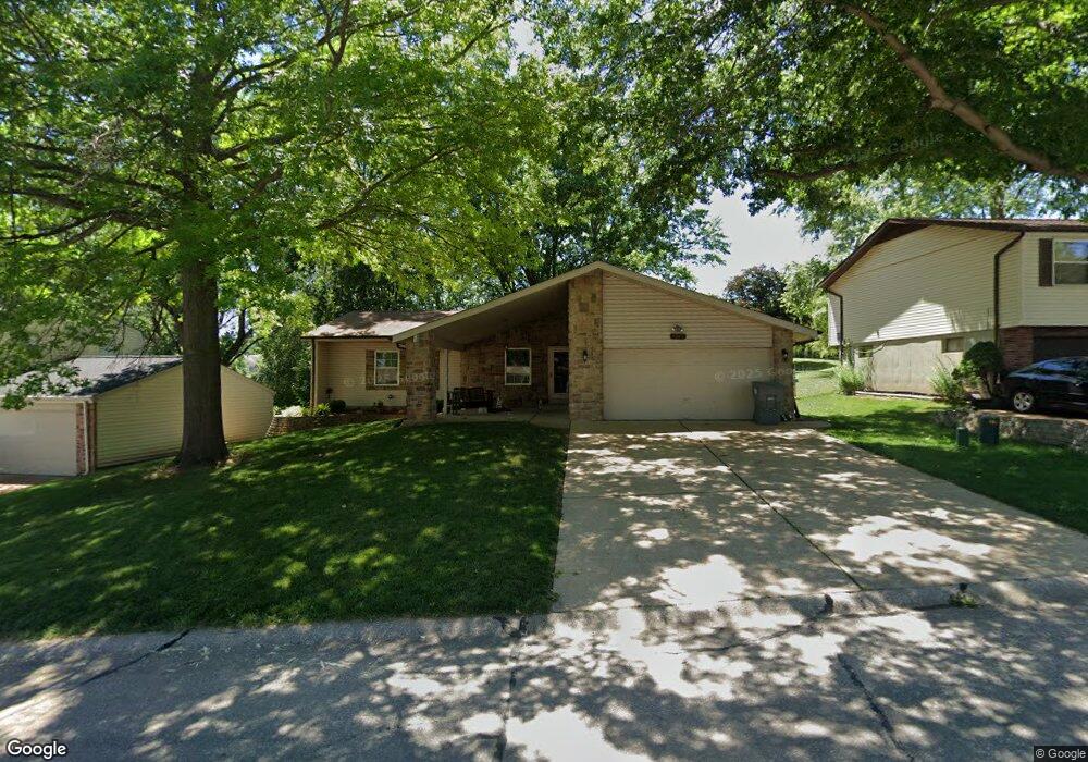
1915 Parkton Way Barnhart, MO 63012
Estimated Value: $222,008 - $257,000
--
Bed
--
Bath
1,352
Sq Ft
$182/Sq Ft
Est. Value
About This Home
This home is located at 1915 Parkton Way, Barnhart, MO 63012 and is currently estimated at $245,502, approximately $181 per square foot. 1915 Parkton Way is a home with nearby schools including Windsor High School and St. Joseph Catholic School.
Ownership History
Date
Name
Owned For
Owner Type
Purchase Details
Closed on
May 10, 2023
Sold by
Sokolic Christopher R and Sokolic Angila
Bought by
Sokolic Anthony D and Sokolic Pamela L
Current Estimated Value
Home Financials for this Owner
Home Financials are based on the most recent Mortgage that was taken out on this home.
Original Mortgage
$145,900
Outstanding Balance
$141,791
Interest Rate
6.32%
Mortgage Type
New Conventional
Estimated Equity
$103,711
Purchase Details
Closed on
Aug 18, 1998
Sold by
Sokolic Patricia Mary
Bought by
Sokolic Curt A and Sokolic Christopher R
Create a Home Valuation Report for This Property
The Home Valuation Report is an in-depth analysis detailing your home's value as well as a comparison with similar homes in the area
Home Values in the Area
Average Home Value in this Area
Purchase History
| Date | Buyer | Sale Price | Title Company |
|---|---|---|---|
| Sokolic Anthony D | -- | None Listed On Document | |
| Sokolic Curt A | -- | -- |
Source: Public Records
Mortgage History
| Date | Status | Borrower | Loan Amount |
|---|---|---|---|
| Open | Sokolic Anthony D | $145,900 |
Source: Public Records
Tax History Compared to Growth
Tax History
| Year | Tax Paid | Tax Assessment Tax Assessment Total Assessment is a certain percentage of the fair market value that is determined by local assessors to be the total taxable value of land and additions on the property. | Land | Improvement |
|---|---|---|---|---|
| 2025 | $1,861 | $25,600 | $4,800 | $20,800 |
| 2024 | $1,861 | $25,400 | $4,800 | $20,600 |
| 2023 | $1,861 | $25,000 | $4,800 | $20,200 |
| 2022 | $1,646 | $22,500 | $2,300 | $20,200 |
| 2021 | $1,647 | $22,500 | $2,300 | $20,200 |
| 2020 | $1,538 | $20,400 | $1,900 | $18,500 |
| 2019 | $1,537 | $20,400 | $1,900 | $18,500 |
| 2018 | $1,516 | $20,400 | $1,900 | $18,500 |
| 2017 | $1,458 | $20,400 | $1,900 | $18,500 |
| 2016 | $1,334 | $18,600 | $1,900 | $16,700 |
| 2015 | $1,331 | $18,600 | $1,900 | $16,700 |
| 2013 | -- | $18,000 | $1,900 | $16,100 |
Source: Public Records
Map
Nearby Homes
- 0 Hwy Mm Unit MAR24032005
- 2108 S Oaks Dr
- 1675 Old State Road M
- 2155 Catlin Ct
- 7001 Wayles Dr
- 0 New Highway M Unit MAR25024234
- 6625 Dry Creek Rd
- 7075 Metropolitan Blvd
- 6788 Haven Hill Rd
- 7056 Albermarle Ct
- 0 Highland Terrace
- 7062 Tuckahoe Ct
- 6 Huntleigh Woods
- 7255 Meriwether Ct
- 7098 Ridge Dr
- 7776 Locust Dr
- 2320 Castlegate Dr
- 6555 Pauline Ct
- Rockwood Plan at Springbrook Farms
- Chicory Plan at Springbrook Farms
- 1919 Parkton Way
- 1909 Parkton Way
- 1925 Parkton Way
- 1923 Parkton Way
- 1916 Donnell Dr
- 1912 Donnell Dr
- 1918 Parkton Way
- 1914 Parkton Way
- 090 +/- Acres West of Parkton
- 1901 Parkton Way
- 1920 Donnell Dr
- 1888 Marriott Ln
- 1928 Parkton Way
- 1922 Parkton Way
- 1926 Donnell Dr
- 1882 Marriott Ln
- 1926 Parkton Way
- 1933 Parkton Way
- 1936 Parkton Way
- 1876 Marriott Ln