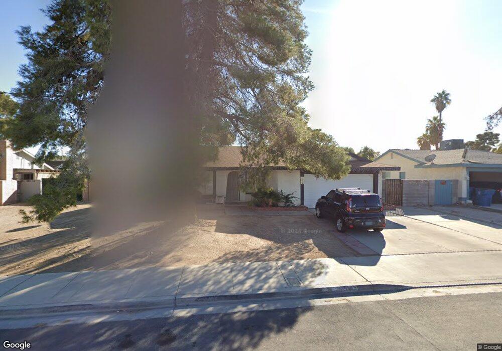
1915 Rawhide St Las Vegas, NV 89119
University District NeighborhoodEstimated Value: $356,000 - $411,000
4
Beds
2
Baths
1,418
Sq Ft
$272/Sq Ft
Est. Value
About This Home
This home is located at 1915 Rawhide St, Las Vegas, NV 89119 and is currently estimated at $385,549, approximately $271 per square foot. 1915 Rawhide St is a home located in Clark County with nearby schools including Gene Ward Elementary School, Jack Dailey Elementary School, and Helen C. Cannon Junior High School.
Ownership History
Date
Name
Owned For
Owner Type
Purchase Details
Closed on
Nov 24, 1997
Sold by
Riegel Lomney Ann
Bought by
Tapia Florentino and Tapia Maria E
Current Estimated Value
Home Financials for this Owner
Home Financials are based on the most recent Mortgage that was taken out on this home.
Original Mortgage
$120,579
Outstanding Balance
$20,580
Interest Rate
7.33%
Mortgage Type
FHA
Estimated Equity
$364,969
Create a Home Valuation Report for This Property
The Home Valuation Report is an in-depth analysis detailing your home's value as well as a comparison with similar homes in the area
Home Values in the Area
Average Home Value in this Area
Purchase History
| Date | Buyer | Sale Price | Title Company |
|---|---|---|---|
| Tapia Florentino | $122,000 | Lawyers Title |
Source: Public Records
Mortgage History
| Date | Status | Borrower | Loan Amount |
|---|---|---|---|
| Open | Tapia Florentino | $120,579 |
Source: Public Records
Tax History Compared to Growth
Tax History
| Year | Tax Paid | Tax Assessment Tax Assessment Total Assessment is a certain percentage of the fair market value that is determined by local assessors to be the total taxable value of land and additions on the property. | Land | Improvement |
|---|---|---|---|---|
| 2025 | $1,149 | $57,985 | $31,500 | $26,485 |
| 2024 | $1,116 | $57,985 | $31,500 | $26,485 |
| 2023 | $1,116 | $52,485 | $28,700 | $23,785 |
| 2022 | $1,084 | $50,613 | $28,000 | $22,613 |
| 2021 | $1,052 | $47,052 | $24,850 | $22,202 |
| 2020 | $1,019 | $45,494 | $22,750 | $22,744 |
| 2019 | $1,006 | $43,728 | $20,650 | $23,078 |
| 2018 | $960 | $41,348 | $18,550 | $22,798 |
| 2017 | $1,177 | $40,145 | $16,450 | $23,695 |
| 2016 | $900 | $36,715 | $11,900 | $24,815 |
| 2015 | $897 | $34,209 | $9,450 | $24,759 |
| 2014 | $871 | $28,809 | $7,000 | $21,809 |
Source: Public Records
Map
Nearby Homes
- 5514 Oxbow St
- 1963 Rawhide St
- 5551 Corral Cir
- 5613 Chestnut St
- 5399 Surrey St
- 5375 Chestnut St
- 2033 Pommel Ave
- 2184 Sunnyslope Ave
- 1673 Caliente Ct
- 5445 Caliente St
- 5473 Clydesdale St
- 2174 E Russell Rd
- 5260 Dickens Dr
- 1655 E Hacienda Ave
- 2246 E Russell Rd
- 5433 Latigo St
- 1688 Mapleton Ln
- 5473 S Eastern Ave
- 5403 Tamarus St
- 1431 di Blasi Dr Unit 101
- 1899 Rawhide St
- 1931 Rawhide St
- 1922 Roan Ave
- 1934 Roan Ave
- 1947 Rawhide St
- 1950 Roan Ave
- 5535 Chestnut St
- 1918 Rawhide St
- 1902 Rawhide St
- 5526 Oxbow St
- 1934 Rawhide St
- 1966 Roan Ave
- 1882 Rawhide St
- 5536 Oxbow St
- 5545 Chestnut St
- 1950 Rawhide St
- 5544 Chestnut St
- 5472 Oxbow St
- 1982 Roan Ave
- 5546 Oxbow St