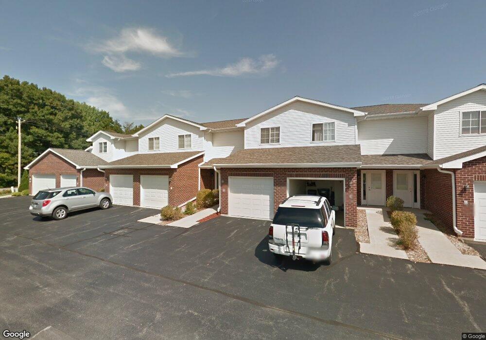
1915 Riverside Dr Unit A Suamico, WI 54313
Estimated Value: $256,637 - $336,000
2
Beds
2
Baths
1,320
Sq Ft
$214/Sq Ft
Est. Value
About This Home
This home is located at 1915 Riverside Dr Unit A, Suamico, WI 54313 and is currently estimated at $282,909, approximately $214 per square foot. 1915 Riverside Dr Unit A is a home located in Brown County with nearby schools including Suamico Elementary School, Lineville Intermediate School, and Bay View Middle School.
Ownership History
Date
Name
Owned For
Owner Type
Purchase Details
Closed on
Oct 9, 2017
Sold by
Steven J and Rappert Kym L
Bought by
Cdart Ronald R and Anderson Janice
Current Estimated Value
Purchase Details
Closed on
Sep 13, 2016
Sold by
Rappert Steven J and Rappert Kym L
Bought by
Rappert Steven J and Joint Kym L
Purchase Details
Closed on
May 6, 2014
Sold by
Blahnik Elizabeth M
Bought by
Rappert Steven J and Rappert Kym L
Home Financials for this Owner
Home Financials are based on the most recent Mortgage that was taken out on this home.
Original Mortgage
$100,000
Interest Rate
4.41%
Mortgage Type
New Conventional
Create a Home Valuation Report for This Property
The Home Valuation Report is an in-depth analysis detailing your home's value as well as a comparison with similar homes in the area
Home Values in the Area
Average Home Value in this Area
Purchase History
| Date | Buyer | Sale Price | Title Company |
|---|---|---|---|
| Cdart Ronald R | $159,000 | Liberty Title | |
| Rappert Steven J | -- | None Available | |
| Rappert Steven J | $128,000 | None Available |
Source: Public Records
Mortgage History
| Date | Status | Borrower | Loan Amount |
|---|---|---|---|
| Previous Owner | Rappert Steven J | $100,000 |
Source: Public Records
Tax History
| Year | Tax Paid | Tax Assessment Tax Assessment Total Assessment is a certain percentage of the fair market value that is determined by local assessors to be the total taxable value of land and additions on the property. | Land | Improvement |
|---|---|---|---|---|
| 2024 | $3,128 | $179,700 | $18,600 | $161,100 |
| 2023 | $3,061 | $179,700 | $18,600 | $161,100 |
| 2022 | $3,024 | $179,700 | $18,600 | $161,100 |
| 2021 | $2,856 | $179,700 | $18,600 | $161,100 |
| 2020 | $2,922 | $179,700 | $18,600 | $161,100 |
| 2019 | $2,709 | $137,500 | $15,500 | $122,000 |
| 2018 | $2,617 | $137,500 | $15,500 | $122,000 |
| 2017 | $2,581 | $137,500 | $15,500 | $122,000 |
| 2016 | $2,488 | $137,500 | $15,500 | $122,000 |
| 2015 | $2,546 | $137,500 | $15,500 | $122,000 |
| 2014 | $2,546 | $137,500 | $15,500 | $122,000 |
| 2013 | $2,546 | $137,500 | $15,500 | $122,000 |
Source: Public Records
Map
Nearby Homes
- 1926 River Hill Ct
- 1968 Trenton Ln
- 2055 S Tanager Ln
- 0 Harbor Cove Ln
- 0 Maple Grove Unit 50315677
- 0 Maple Grove Unit 50315674
- 0 Maple Grove Unit 50315676
- 2664 Chambers Crossing
- 1429 Harbor Lights Rd
- 2652 Chambers Crossing
- 2623 Chambers Crossing
- 2658 Chambers Crossing
- 12056 Velp Ave
- 2801 Meadow Flower Ln
- 0 Sunset Beach Rd
- 2753 Summerset Cir
- 1980 Lost Trail
- 2150 Lost Trail
- 0 Lost Trail Unit 50313993
- 2192 E Deerfield Ave
- 1915 Riverside Dr Unit H
- 1915 Riverside Dr Unit G
- 1915 Riverside Dr Unit E
- 1915 Riverside Dr Unit D
- 1915 Riverside Dr Unit C
- 1915 Riverside Dr Unit B
- 1913 Riverside Dr Unit H
- 1913 Riverside Dr Unit G
- 1913 Riverside Dr Unit F
- 1913 Riverside Dr Unit E
- 1913 Riverside Dr Unit D
- 1913 Riverside Dr Unit C
- 1913 Riverside Dr Unit B
- 1913 Riverside Dr Unit A
- 1909 Riverside Dr Unit J
- 1909 Riverside Dr Unit I
- 1909 Riverside Dr Unit H
- 1909 Riverside Dr Unit G
- 1909 Riverside Dr Unit F
- 1909 Riverside Dr Unit E