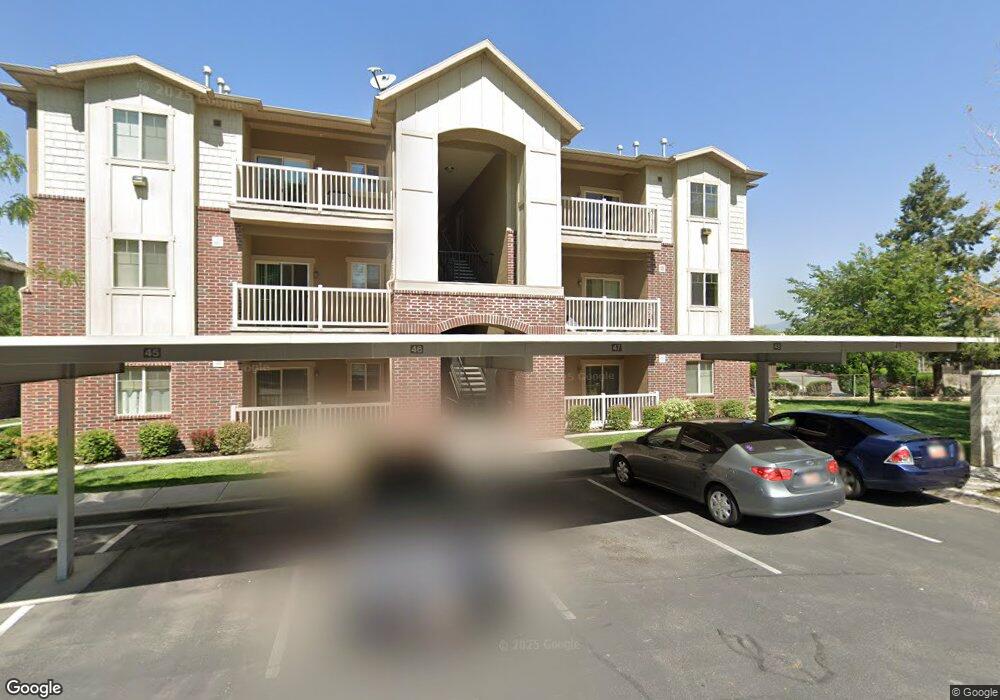
1915 S Main St Unit 6B Bountiful, UT 84010
Estimated Value: $337,421 - $377,000
2
Beds
1
Bath
1,280
Sq Ft
$278/Sq Ft
Est. Value
About This Home
This home is located at 1915 S Main St Unit 6B, Bountiful, UT 84010 and is currently estimated at $356,105, approximately $278 per square foot. 1915 S Main St Unit 6B is a home located in Davis County with nearby schools including Bountiful Elementary School, Mueller Park Junior High School, and Woods Cross High School.
Ownership History
Date
Name
Owned For
Owner Type
Purchase Details
Closed on
Jun 18, 2009
Sold by
Morrill Ingrid K
Bought by
Morrill Ingrid K and Ingrid K Morrill Revocable Trust
Current Estimated Value
Purchase Details
Closed on
May 20, 1997
Sold by
Dordrecht Properties Lc
Bought by
Morrill Ingrid K
Home Financials for this Owner
Home Financials are based on the most recent Mortgage that was taken out on this home.
Original Mortgage
$101,900
Outstanding Balance
$14,138
Interest Rate
8.15%
Mortgage Type
Purchase Money Mortgage
Estimated Equity
$341,967
Create a Home Valuation Report for This Property
The Home Valuation Report is an in-depth analysis detailing your home's value as well as a comparison with similar homes in the area
Home Values in the Area
Average Home Value in this Area
Purchase History
| Date | Buyer | Sale Price | Title Company |
|---|---|---|---|
| Morrill Ingrid K | -- | None Available | |
| Morrill Ingrid K | -- | America West Title Agency In |
Source: Public Records
Mortgage History
| Date | Status | Borrower | Loan Amount |
|---|---|---|---|
| Open | Morrill Ingrid K | $101,900 |
Source: Public Records
Tax History Compared to Growth
Tax History
| Year | Tax Paid | Tax Assessment Tax Assessment Total Assessment is a certain percentage of the fair market value that is determined by local assessors to be the total taxable value of land and additions on the property. | Land | Improvement |
|---|---|---|---|---|
| 2025 | $1,714 | $160,050 | $55,550 | $104,500 |
| 2024 | $1,665 | $158,950 | $40,150 | $118,800 |
| 2023 | $1,638 | $284,000 | $72,000 | $212,000 |
| 2022 | $1,638 | $155,650 | $39,050 | $116,600 |
| 2021 | $1,424 | $206,000 | $60,000 | $146,000 |
| 2020 | $1,286 | $187,000 | $59,300 | $127,700 |
| 2019 | $1,242 | $176,000 | $48,000 | $128,000 |
| 2018 | $1,108 | $154,000 | $45,000 | $109,000 |
| 2016 | $977 | $73,645 | $16,500 | $57,145 |
| 2015 | $1,025 | $73,260 | $16,500 | $56,760 |
| 2014 | $928 | $67,857 | $18,333 | $49,524 |
| 2013 | -- | $62,271 | $16,225 | $46,046 |
Source: Public Records
Map
Nearby Homes
- 1915 S Main St Unit 6C
- 1915 S Main St Unit 6A
- 1915 S Main St
- 1917 S Main St Unit 7D
- 1917 S Main St Unit 7C
- 1917 S Main St Unit 7B
- 1917 S Main St Unit B
- 1917 S Main St
- 1917 S Main St Unit 1917.5
- 1917 S Main St Unit D
- 1919 S Main St
- 1913 S Main St Unit 5-D
- 1911 S Main St
- 1909 S Main St Unit 5E
- 1909 S Main St Unit 5D
- 1909 S Main St Unit 5C
- 1909 S Main St Unit 5B
- 1909 S Main St Unit 5A
- 1909 S Main St Unit 5E
- 1909 S Main St