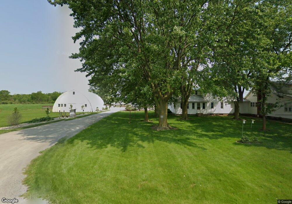
1915 W 100 S Lagrange, IN 46761
Estimated Value: $324,000 - $734,000
2
Beds
1
Bath
1,999
Sq Ft
$298/Sq Ft
Est. Value
About This Home
This home is located at 1915 W 100 S, Lagrange, IN 46761 and is currently estimated at $594,901, approximately $297 per square foot. 1915 W 100 S is a home located in LaGrange County with nearby schools including Lakeland Jr/Sr High School, Maple Grove School, and Southeast Clay School.
Ownership History
Date
Name
Owned For
Owner Type
Purchase Details
Closed on
Jan 2, 2025
Sold by
Fry Marvin D and Fry Norma Jean
Bought by
Miller Joe Dean and Miller Ida S
Current Estimated Value
Purchase Details
Closed on
Sep 6, 2019
Sold by
Raber Ernest E and Raber Ruth M
Bought by
Raber Ernest E and Raber Ruth Mae
Create a Home Valuation Report for This Property
The Home Valuation Report is an in-depth analysis detailing your home's value as well as a comparison with similar homes in the area
Purchase History
| Date | Buyer | Sale Price | Title Company |
|---|---|---|---|
| Miller Joe Dean | $1,075,000 | First American Title | |
| Raber Ernest E | $396,412 | Attorney Only |
Source: Public Records
Tax History
| Year | Tax Paid | Tax Assessment Tax Assessment Total Assessment is a certain percentage of the fair market value that is determined by local assessors to be the total taxable value of land and additions on the property. | Land | Improvement |
|---|---|---|---|---|
| 2024 | $3,313 | $544,900 | $73,300 | $471,600 |
| 2023 | $2,883 | $496,200 | $66,500 | $429,700 |
| 2022 | $3,057 | $465,100 | $55,000 | $410,100 |
| 2021 | $2,662 | $412,000 | $48,700 | $363,300 |
| 2020 | $1,025 | $205,200 | $48,500 | $156,700 |
| 2019 | $2,840 | $423,800 | $157,300 | $266,500 |
| 2018 | $3,589 | $410,500 | $161,600 | $248,900 |
| 2017 | $3,666 | $432,100 | $178,900 | $253,200 |
| 2016 | $3,202 | $422,900 | $185,100 | $237,800 |
| 2014 | $2,800 | $366,600 | $179,000 | $187,600 |
| 2013 | $2,800 | $330,700 | $156,300 | $174,400 |
Source: Public Records
Map
Nearby Homes
- 270 N 035 W
- 217-219 Church St
- 217 N Sherman St
- 202 W Central Ave
- 207 S Poplar St
- 307 N Detroit St
- 109 E Factory St
- 920 N 00ew
- 314 E Michigan St
- 405 N Canal St
- 1575 W 195 N
- 505 N Maple St
- 602 N Maple St
- 737 N Canal St
- 2200 S State Road 9 Hwy
- 2065 N 500 W
- 1400 N 200 E
- 1130 E 455 S
- 2930 N 080 E
- 5755 S 075 W
Your Personal Tour Guide
Ask me questions while you tour the home.