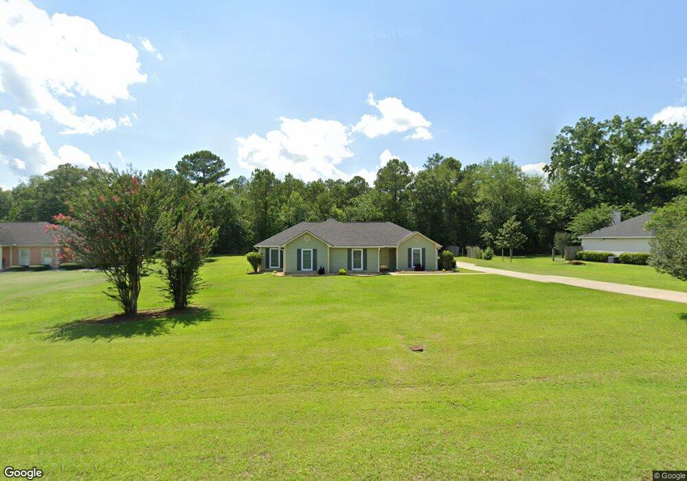
1915 Weymouth Dr Albany, GA 31721
Estimated Value: $230,000 - $240,292
3
Beds
2
Baths
1,811
Sq Ft
$130/Sq Ft
Est. Value
About This Home
This home is located at 1915 Weymouth Dr, Albany, GA 31721 and is currently estimated at $235,073, approximately $129 per square foot. 1915 Weymouth Dr is a home located in Dougherty County with nearby schools including Live Oak Elementary School, Merry Acres Middle School, and Westover High School.
Ownership History
Date
Name
Owned For
Owner Type
Purchase Details
Closed on
May 20, 1998
Sold by
Burnfin Mearl J and Griffin William H
Bought by
Brown Larry A and Brown Sandra J
Current Estimated Value
Purchase Details
Closed on
Dec 17, 1996
Sold by
Mccoy Eugene L
Bought by
Burnfin Mearl J == and Griffin Willia
Purchase Details
Closed on
Nov 20, 1996
Sold by
Burnfin Mearl J
Bought by
Griffin Wm H and Mccoy Eugene L
Purchase Details
Closed on
Jan 8, 1996
Sold by
Ownby Tom and Ownby Zalene
Bought by
Burnfin Mearl J
Purchase Details
Closed on
May 31, 1994
Sold by
1St St Bk & Tr Co Trustee Of Jordan Etal
Bought by
Ownby Tom and Ownby Zalene
Purchase Details
Closed on
Jan 29, 1979
Sold by
First State Bank
Bought by
Jordan-Fieldstone
Create a Home Valuation Report for This Property
The Home Valuation Report is an in-depth analysis detailing your home's value as well as a comparison with similar homes in the area
Home Values in the Area
Average Home Value in this Area
Purchase History
| Date | Buyer | Sale Price | Title Company |
|---|---|---|---|
| Brown Larry A | $117,000 | -- | |
| Burnfin Mearl J == | $4,700 | -- | |
| Griffin Wm H | $9,300 | -- | |
| Burnfin Mearl J | $14,000 | -- | |
| Ownby Tom | $12,300 | -- | |
| Jordan-Fieldstone | -- | -- |
Source: Public Records
Tax History Compared to Growth
Tax History
| Year | Tax Paid | Tax Assessment Tax Assessment Total Assessment is a certain percentage of the fair market value that is determined by local assessors to be the total taxable value of land and additions on the property. | Land | Improvement |
|---|---|---|---|---|
| 2024 | $2,461 | $58,360 | $6,000 | $52,360 |
| 2023 | $1,774 | $58,360 | $6,000 | $52,360 |
| 2022 | $2,612 | $58,360 | $6,000 | $52,360 |
| 2021 | $2,418 | $58,360 | $6,000 | $52,360 |
| 2020 | $2,421 | $58,360 | $6,000 | $52,360 |
| 2019 | $2,427 | $58,360 | $6,000 | $52,360 |
| 2018 | $2,433 | $58,360 | $6,000 | $52,360 |
| 2017 | $2,264 | $58,360 | $6,000 | $52,360 |
| 2016 | $2,266 | $58,360 | $6,000 | $52,360 |
| 2015 | -- | $58,360 | $6,000 | $52,360 |
| 2014 | $2,238 | $58,360 | $6,000 | $52,360 |
Source: Public Records
Map
Nearby Homes
- 121 Lockett Station Rd
- 1900 Covey Rd
- 125-127 Westcott Ln
- 2304 E Doublegate Dr
- 2208 Westmoreland Dr
- 101 Frank Orgel Ct
- 3611 Castle Pines Ln
- 2204 Wesley Rd
- 3108 Wax Myrtle Ln
- 2305 E Alberson Dr
- 4534 Chateau Dr
- 1729 Dorchester Dr
- 3111 Gillionville Rd
- 512 Longbow Dr
- 3104 Fernridge Dr
- 502 Navajo Ct
- 4506 Chateau Dr
- 1930 Beattie Rd
- 2105 Beattie Rd
- 2514 E Doublegate Dr
- 1917 Weymouth Dr
- 1913 Weymouth Dr
- 1919 Weymouth Dr
- 1916 Weymouth Dr
- 1914 Weymouth Dr
- 1911 Weymouth Dr
- 1918 Weymouth Dr
- 1912 Weymouth Dr
- 1921 Weymouth Dr
- 1920 Weymouth Dr
- 1910 Weymouth Dr
- 1923 Weymouth Dr
- 1922 Weymouth Dr
- 1909 Weymouth Dr
- 1924 Weymouth Dr
- 1906 Weymouth Dr
- 1925 Weymouth Dr
- 1926 Weymouth Dr
- 2001 Weymouth Dr
- 1928 Weymouth Dr