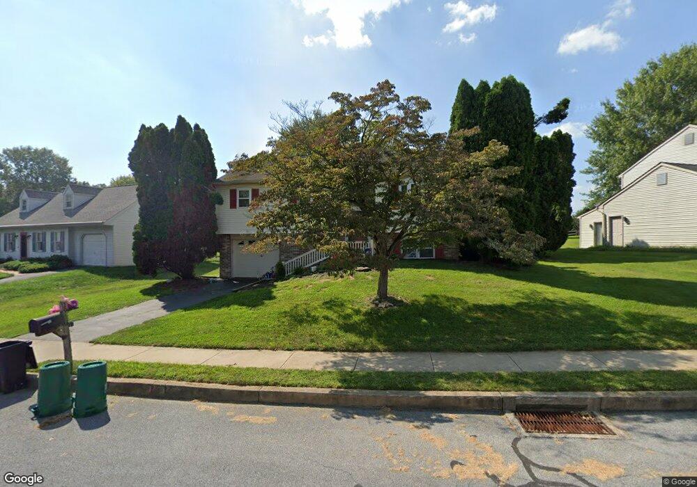
1915 Wilderness Rd Lancaster, PA 17603
Meadia Heights NeighborhoodEstimated Value: $339,354 - $373,000
3
Beds
2
Baths
1,662
Sq Ft
$215/Sq Ft
Est. Value
About This Home
This home is located at 1915 Wilderness Rd, Lancaster, PA 17603 and is currently estimated at $357,089, approximately $214 per square foot. 1915 Wilderness Rd is a home located in Lancaster County with nearby schools including Elizabeth R Martin Elementary School, Wheatland Middle School, and McCaskey High School.
Ownership History
Date
Name
Owned For
Owner Type
Purchase Details
Closed on
Sep 9, 2010
Sold by
Roumeliotis John and Roumeliotis Robin L
Bought by
Ryan William J and Lewis Lauren C
Current Estimated Value
Home Financials for this Owner
Home Financials are based on the most recent Mortgage that was taken out on this home.
Original Mortgage
$172,674
Outstanding Balance
$115,803
Interest Rate
4.75%
Mortgage Type
FHA
Estimated Equity
$241,286
Create a Home Valuation Report for This Property
The Home Valuation Report is an in-depth analysis detailing your home's value as well as a comparison with similar homes in the area
Home Values in the Area
Average Home Value in this Area
Purchase History
| Date | Buyer | Sale Price | Title Company |
|---|---|---|---|
| Ryan William J | $175,000 | None Available |
Source: Public Records
Mortgage History
| Date | Status | Borrower | Loan Amount |
|---|---|---|---|
| Open | Ryan William J | $172,674 |
Source: Public Records
Tax History Compared to Growth
Tax History
| Year | Tax Paid | Tax Assessment Tax Assessment Total Assessment is a certain percentage of the fair market value that is determined by local assessors to be the total taxable value of land and additions on the property. | Land | Improvement |
|---|---|---|---|---|
| 2025 | $4,430 | $153,600 | $46,700 | $106,900 |
| 2024 | $4,430 | $153,600 | $46,700 | $106,900 |
| 2023 | $4,328 | $153,600 | $46,700 | $106,900 |
| 2022 | $4,070 | $153,600 | $46,700 | $106,900 |
| 2021 | $3,947 | $153,600 | $46,700 | $106,900 |
| 2020 | $3,947 | $153,600 | $46,700 | $106,900 |
| 2019 | $3,863 | $153,600 | $46,700 | $106,900 |
| 2018 | $2,839 | $153,600 | $46,700 | $106,900 |
| 2017 | $4,165 | $127,400 | $35,000 | $92,400 |
| 2016 | $4,089 | $127,400 | $35,000 | $92,400 |
| 2015 | $552 | $127,400 | $35,000 | $92,400 |
| 2014 | $2,972 | $127,400 | $35,000 | $92,400 |
Source: Public Records
Map
Nearby Homes
- 2440 Water Valley Rd
- 109 Hillard
- 111 Hillard Field
- 112 Hillard Field
- 115 Hillard
- 113 Hillard Field
- 118 Hillard
- 110 Hillard
- 121 Hillard
- 2460 Honeysuckle Ln
- 11 Clarendon Dr
- 2435 Honeysuckle Ln
- 134 Gentlemens Way
- 986 Sterling Place
- 49 Mill Pond Dr
- 103 Gentlemens Way
- 204 Pennshire Dr
- 202 Pennshire Dr
- 1635 Wabank Rd
- 23 Deerfield Rd
- 1919 Wilderness Rd
- 1907 Wilderness Rd
- 1923 Wilderness Rd
- 1872 Wilderness Rd
- 1912 Wilderness Rd
- 1901 Wilderness Rd
- 1916 Wilderness Rd
- 1868 Wilderness Rd
- 1920 Wilderness Rd
- 1929 Wilderness Rd
- 1908 Wilderness Rd
- 1878 Wilderness Rd
- 1924 Wilderness Rd
- 1864 Wilderness Rd
- 1904 Wilderness Rd
- 1933 Wilderness Rd
- 1928 Wilderness Rd
- 1900 Wilderness Rd
- 1858 Wilderness Rd
- 1932 Wilderness Rd