1916 Cattail Point Springfield, OH 45502
Estimated Value: $304,694 - $329,000
3
Beds
3
Baths
2,029
Sq Ft
$157/Sq Ft
Est. Value
About This Home
This home is located at 1916 Cattail Point, Springfield, OH 45502 and is currently estimated at $318,924, approximately $157 per square foot. 1916 Cattail Point is a home located in Clark County with nearby schools including Northridge Elementary School, Kenton Ridge Middle & High School, and Emmanuel Christian Academy.
Ownership History
Date
Name
Owned For
Owner Type
Purchase Details
Closed on
Nov 14, 2003
Sold by
Hbh Builders Ltd
Bought by
Asper David H and Asper Sally A
Current Estimated Value
Home Financials for this Owner
Home Financials are based on the most recent Mortgage that was taken out on this home.
Original Mortgage
$50,000
Interest Rate
5.81%
Mortgage Type
Purchase Money Mortgage
Create a Home Valuation Report for This Property
The Home Valuation Report is an in-depth analysis detailing your home's value as well as a comparison with similar homes in the area
Home Values in the Area
Average Home Value in this Area
Purchase History
| Date | Buyer | Sale Price | Title Company |
|---|---|---|---|
| Asper David H | $182,400 | -- |
Source: Public Records
Mortgage History
| Date | Status | Borrower | Loan Amount |
|---|---|---|---|
| Closed | Asper David H | $50,000 |
Source: Public Records
Tax History
| Year | Tax Paid | Tax Assessment Tax Assessment Total Assessment is a certain percentage of the fair market value that is determined by local assessors to be the total taxable value of land and additions on the property. | Land | Improvement |
|---|---|---|---|---|
| 2025 | $2,473 | $95,440 | $13,250 | $82,190 |
| 2024 | $2,418 | $66,350 | $11,100 | $55,250 |
| 2023 | $2,418 | $66,350 | $11,100 | $55,250 |
| 2022 | $2,445 | $66,350 | $11,100 | $55,250 |
| 2021 | $2,639 | $61,340 | $9,100 | $52,240 |
| 2020 | $2,641 | $61,340 | $9,100 | $52,240 |
| 2019 | $2,691 | $61,340 | $9,100 | $52,240 |
| 2018 | $2,552 | $56,500 | $9,630 | $46,870 |
| 2017 | $2,189 | $47,789 | $9,625 | $38,164 |
| 2016 | $2,173 | $47,789 | $9,625 | $38,164 |
| 2015 | $1,954 | $46,914 | $8,750 | $38,164 |
| 2014 | $1,954 | $46,914 | $8,750 | $38,164 |
| 2013 | $1,909 | $46,914 | $8,750 | $38,164 |
Source: Public Records
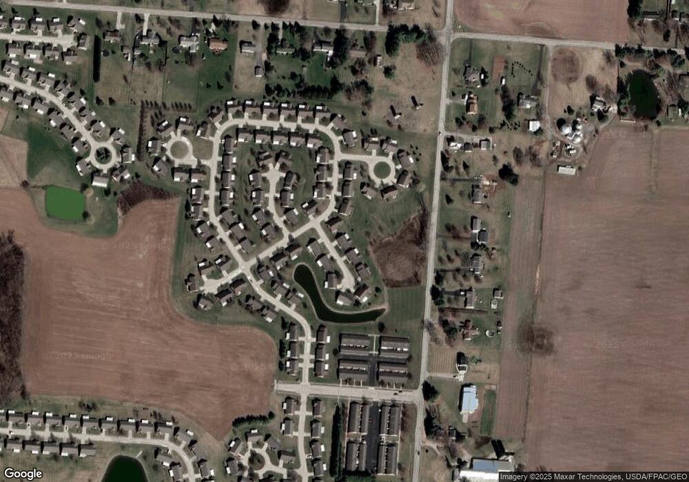
Map
Nearby Homes
- 1812 Willow Lakes Dr
- 1836 Dunseth Ln
- 1707 Berwick Dr
- 1470 Oldham Dr Unit 12
- 1398 Elizabeth Ct Unit 66
- 5564 Ridgewood Rd E Unit 7
- 1495 Victorian Way
- 5564 Ridgewood Rd W
- 1521 Erika Dr
- 937 Willow Rd
- 5033 Ridgewood Rd E
- 1709 Thomas Dr
- 4652 Reno Ln Unit 15
- 4802 Willowbrook Dr
- 335 Willow Rd
- 4577 Reno Ln Unit 2
- 4741 Cullen Ave
- 4446 Ridgewood Rd E Unit 3
- 4500 Bosart Rd
- 862 Brendle Trace Unit 20
- 1918 Cattail Point Unit 43
- 1912 Willow Lakes Dr Unit 41
- 1928 Cattail Point Unit 48
- 1930 Cattail Point Unit 49
- 1930 Cattail Point
- 1910 Willow Lakes Dr Unit 40
- 1920 Cattail Point Unit 44
- 1926 Cattail Point
- 1926 Cattail Point Unit 47
- 1914 Willow Lakes Dr Unit 73
- 1932 Willow Lakes Dr Unit 50
- 1906 Willow Lakes Dr Unit 39
- 1906 Willow Lakes Dr
- 1922 Cattail Point Unit 45
- 1908 Willow Lakes Dr
- 1908 Willow Lakes Dr Unit 72
- 1924 Cattail Point Unit 46
- 1934 Shady Oak Ct
- 1902 Birchwood Ct Unit 37
- 1902 Birchwood Ct
Your Personal Tour Guide
Ask me questions while you tour the home.