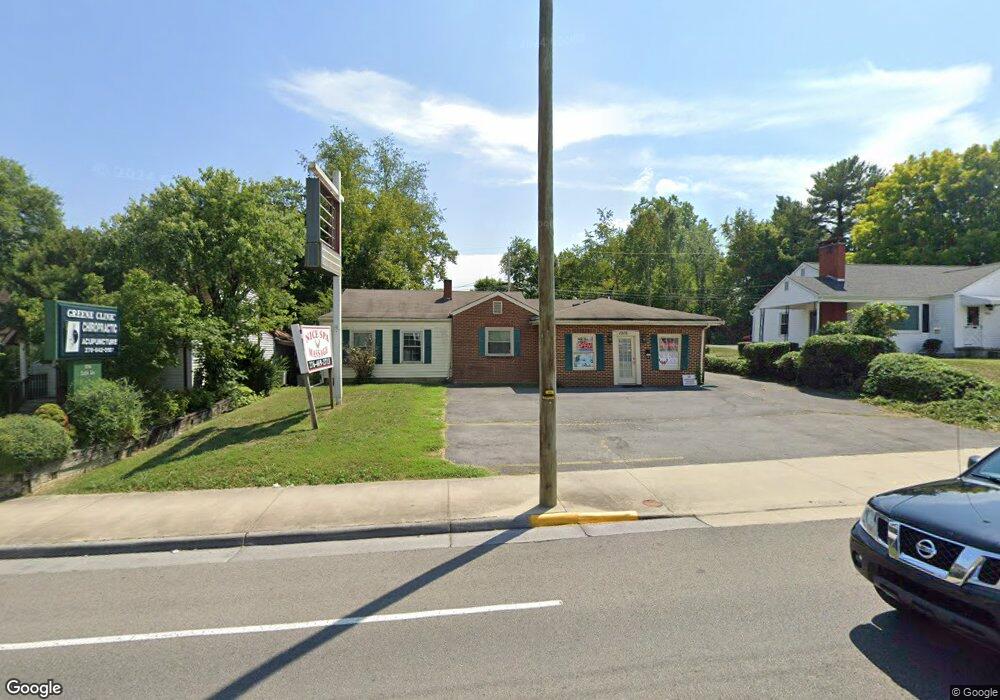
1916 Euclid Ave Bristol, VA 24201
Estimated Value: $233,608 - $258,000
--
Bed
1
Bath
1,676
Sq Ft
$147/Sq Ft
Est. Value
About This Home
This home is located at 1916 Euclid Ave, Bristol, VA 24201 and is currently estimated at $246,402, approximately $147 per square foot. 1916 Euclid Ave is a home located in Bristol City with nearby schools including Virginia High School, Tri-Cities Christian School, and Brookside Academy.
Ownership History
Date
Name
Owned For
Owner Type
Purchase Details
Closed on
Aug 27, 2012
Sold by
Rl Anne M Koehner
Bought by
Greene Wiley A and Greene Debra G
Current Estimated Value
Home Financials for this Owner
Home Financials are based on the most recent Mortgage that was taken out on this home.
Original Mortgage
$95,000
Outstanding Balance
$65,860
Interest Rate
3.61%
Mortgage Type
New Conventional
Estimated Equity
$180,542
Create a Home Valuation Report for This Property
The Home Valuation Report is an in-depth analysis detailing your home's value as well as a comparison with similar homes in the area
Home Values in the Area
Average Home Value in this Area
Purchase History
| Date | Buyer | Sale Price | Title Company |
|---|---|---|---|
| Greene Wiley A | $115,000 | -- |
Source: Public Records
Mortgage History
| Date | Status | Borrower | Loan Amount |
|---|---|---|---|
| Open | Greene Wiley A | $95,000 |
Source: Public Records
Tax History Compared to Growth
Tax History
| Year | Tax Paid | Tax Assessment Tax Assessment Total Assessment is a certain percentage of the fair market value that is determined by local assessors to be the total taxable value of land and additions on the property. | Land | Improvement |
|---|---|---|---|---|
| 2025 | $2,126 | $228,600 | $46,000 | $182,600 |
| 2024 | $1,607 | $143,500 | $38,100 | $105,400 |
| 2023 | $1,679 | $143,500 | $38,100 | $105,400 |
| 2022 | $1,607 | $143,500 | $38,100 | $105,400 |
| 2021 | $1,607 | $143,500 | $38,100 | $105,400 |
| 2020 | $1,506 | $128,700 | $38,100 | $90,600 |
| 2019 | $1,506 | $128,700 | $38,100 | $90,600 |
| 2018 | $753 | $128,700 | $38,100 | $90,600 |
| 2016 | -- | $112,700 | $0 | $0 |
| 2015 | -- | $0 | $0 | $0 |
| 2014 | -- | $0 | $0 | $0 |
Source: Public Records
Map
Nearby Homes
- 2000 Euclid Ave
- 1057 Moorland Ave
- 2140 Randolph St
- 60 Peters St
- 728 Randolph St
- 460 Vance St
- 000 Hemlock Dr
- 454 Douglas St
- 2412,14,16 Bradley St
- 461 Douglas St
- 2400 Bradley St
- 1614 Broad St
- 1836 Anderson St
- 2413 Catherine St
- 2228 Bay St
- 1227 Shelby St
- 340 Wagner Rd
- 2104 Osborne St
- 2461 Bradley St
- Tbd Amy St
- 1914 Euclid Ave
- 1922 Euclid Ave
- 1912 Euclid Ave
- 1910 Euclid Ave
- 1930 Euclid Ave
- 1932 Lee Hwy
- 1917 Euclid Ave
- 1932 Euclid Ave
- 1908 Euclid Ave
- 1925 Euclid Ave
- 1913 Euclid Ave
- 1921 Euclid Ave
- 1919 Norway St
- 1915 Norway St
- 1929 Euclid Ave
- 1927 Norway St
- 1934 Euclid Ave
- 1911 Norway St
- 1909 Euclid Ave
- 1931 Euclid Ave