1916 Fairview Rd Andrews, NC 28901
Estimated Value: $519,000 - $931,000
3
Beds
5
Baths
6,154
Sq Ft
$120/Sq Ft
Est. Value
About This Home
This home is located at 1916 Fairview Rd, Andrews, NC 28901 and is currently estimated at $741,155, approximately $120 per square foot. 1916 Fairview Rd is a home located in Cherokee County with nearby schools including Andrews Elementary School, Andrews Middle School, and Andrews High School.
Ownership History
Date
Name
Owned For
Owner Type
Purchase Details
Closed on
Jan 16, 2020
Sold by
West Timothy Brian and West Carrie Beth
Bought by
Spinn Michael and Spinn Carleigh
Current Estimated Value
Home Financials for this Owner
Home Financials are based on the most recent Mortgage that was taken out on this home.
Original Mortgage
$346,000
Outstanding Balance
$304,329
Interest Rate
3.37%
Mortgage Type
New Conventional
Estimated Equity
$436,826
Create a Home Valuation Report for This Property
The Home Valuation Report is an in-depth analysis detailing your home's value as well as a comparison with similar homes in the area
Home Values in the Area
Average Home Value in this Area
Purchase History
| Date | Buyer | Sale Price | Title Company |
|---|---|---|---|
| Spinn Michael | $457,000 | None Available |
Source: Public Records
Mortgage History
| Date | Status | Borrower | Loan Amount |
|---|---|---|---|
| Open | Spinn Michael | $346,000 |
Source: Public Records
Tax History
| Year | Tax Paid | Tax Assessment Tax Assessment Total Assessment is a certain percentage of the fair market value that is determined by local assessors to be the total taxable value of land and additions on the property. | Land | Improvement |
|---|---|---|---|---|
| 2025 | $3,752 | $549,250 | $0 | $0 |
| 2024 | $37 | $549,250 | $0 | $0 |
| 2023 | $3,722 | $549,250 | $0 | $0 |
| 2022 | $3,722 | $549,250 | $0 | $0 |
| 2021 | $3,118 | $549,250 | $10,700 | $538,550 |
| 2020 | $2,898 | $549,250 | $0 | $0 |
| 2019 | $2,359 | $394,550 | $0 | $0 |
| 2018 | $2,359 | $394,550 | $0 | $0 |
| 2017 | $2,359 | $394,550 | $0 | $0 |
| 2016 | $2,359 | $394,550 | $0 | $0 |
| 2015 | $2,359 | $394,550 | $20,720 | $373,830 |
| 2012 | -- | $326,900 | $20,720 | $306,180 |
Source: Public Records
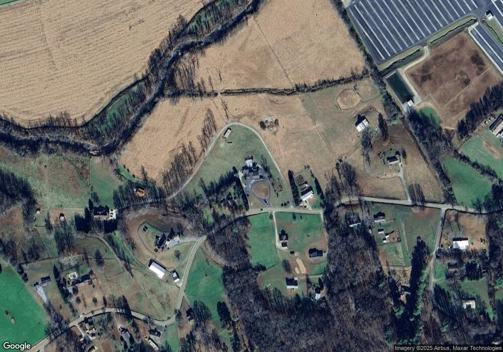
Map
Nearby Homes
- 230 Pisgah Rd Unit 430
- 6765 Airport Rd
- 00 Airport Rd
- 00 River Dance Dr
- 00 Sky Harbour Trace
- LT 7 Valley View Heights Ln
- 135.49ac Webb Creek Rd
- 7.69ac Webb Creek Rd
- 3 AC Chestnut Flats Rd
- 1034 Chestnut Flats Rd
- 23.59 AC Chestnut Flats Rd
- 00 Main & Whitaker
- 300 Tatham St
- 00 West Rd
- 96 Connaheta Ave
- 248 Hillside Ln
- TBD Colvard Ave
- 61 Fairview Rd
- 760 Pinedale Ln
- 000 Holland Farm Rd
- 1964 Fairview Rd
- 1964 Fairview Rd
- 1820 Fairview Rd
- 1874 Fairview Rd
- 1919 Fairview Rd
- 1803 Fairview Rd
- 1803 Fairview Rd
- 1803 Fairview Rd
- 1803 Fairview Rd
- 1803 Fairview Rd
- 1803 Fairview Rd
- 2014 Fairview Rd
- 1801 Fairview Rd
- 1917 Fairview Rd
- 1748 Fairview Rd
- 2087 Fairview Rd
- 1896 Fairview Rd
- 56 Smith Knob Rd
- 2135 Fairview Rd
- 64 Windy Hill Rd